国立情報学研究所 - ディジタル・シルクロード・プロジェクト
| |||||||||
|
| Explorations in Turkestan 1903 : vol.1 | |
| トルキスタンの調査 1903年 : vol.1 |
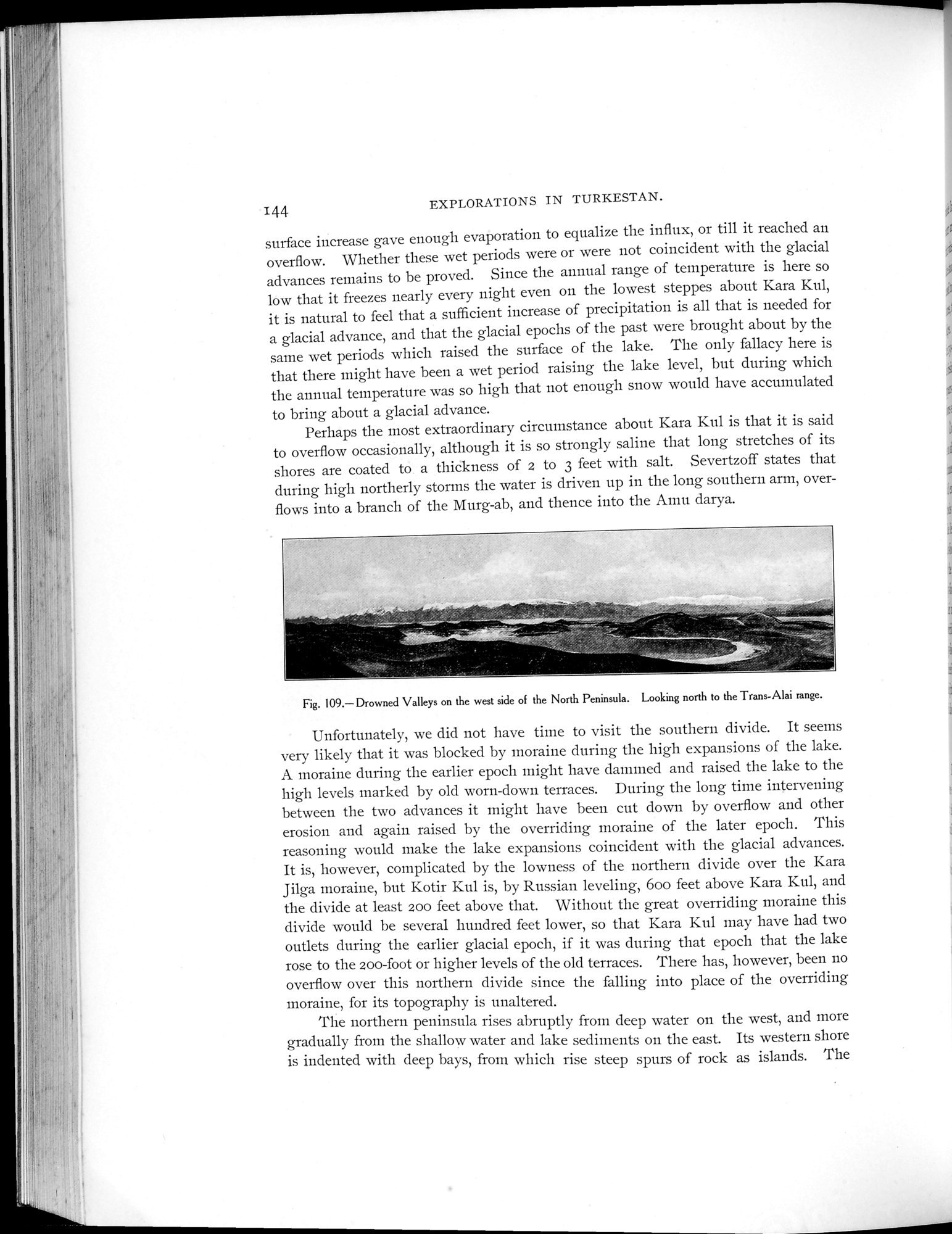 |
| 北部半島の西側にある沈水した渓谷 トランス-アライ山脈方面に北向きDrowned Valleys on the west side of the North Peninsula. Looking north to the Trans-Alai range. |
EXPLORATIONS IN TURKESTAN.
surface increase gave enough evaporation to equalize the influx, or till it reached an overflow. Whether these wet periods were or were not coincident with the glacial advances remains to be proved. Since the annual range of temperature is here so low that it freezes nearly every night even on the lowest steppes about Kara Kul, it is natural to feel that a sufficient increase of precipitation is all that is needed for a glacial advance, and that the glacial epochs of the past were brought about by the same wet periods which raised the surface of the lake. The only fallacy here is that there might have been a wet period raising the lake level, but during which the annual temperature was so high that not enough snow would have accumulated to bring about a glacial advance.
Perhaps the most extraordinary circumstance about Kara Kul is that it is said to overflow occasionally, although it is so strongly saline that long stretches of its shores are coated to a thickness of 2 to 3 feet with salt. Severtzoff states that during high northerly storms the water is driven up in the long southern arm, overflows into a branch of the Murg-ab, and thence into the Amu darya.
Fig. 109.—Drowned Valleys on the west side of the North Peninsula. Looking north to the Trans-Alai range.
Unfortunately, we did not have time to visit the southern divide. It seems very likely that it was blocked by moraine during the high expansions of the lake. A moraine during the earlier epoch might have dammed and raised the lake to the high levels marked by old worn-down terraces. During the long time intervening between the two advances it might have been cut down by overflow and other erosion and again raised by the overriding moraine of the later epoch. This reasoning would make the lake expansions coincident with the glacial advances. It is, however, complicated by the lowness of the northern divide over the Kara Jilga moraine, but Kotir Kul is, by Russian leveling, 600 feet above Kara Kul, and the divide at least 200 feet above that. Without the great overriding moraine this divide would be several hundred feet lower, so that Kara Kul may have had two outlets during the earlier glacial epoch, if it was during that epoch that the lake rose to the 200-foot or higher levels of the old terraces. There has, however, been no overflow over this northern divide since the falling into place of the overriding moraine, for its topography is unaltered.
The northern peninsula rises abruptly from deep water on the west, and more gradually from the shallow water and lake sediments on the east. Its western shore is indented with deep bays, from which rise steep spurs of rock as islands. The
144
|
Copyright (C) 2003-2019
National Institute of Informatics(国立情報学研究所)
and
The Toyo Bunko(東洋文庫). All Rights Reserved.
本ウェブサイトに掲載するデジタル文化資源の無断転載は固くお断りいたします。