国立情報学研究所 - ディジタル・シルクロード・プロジェクト
| |||||||||
|
| Explorations in Turkestan 1903 : vol.1 | |
| トルキスタンの調査 1903年 : vol.1 |
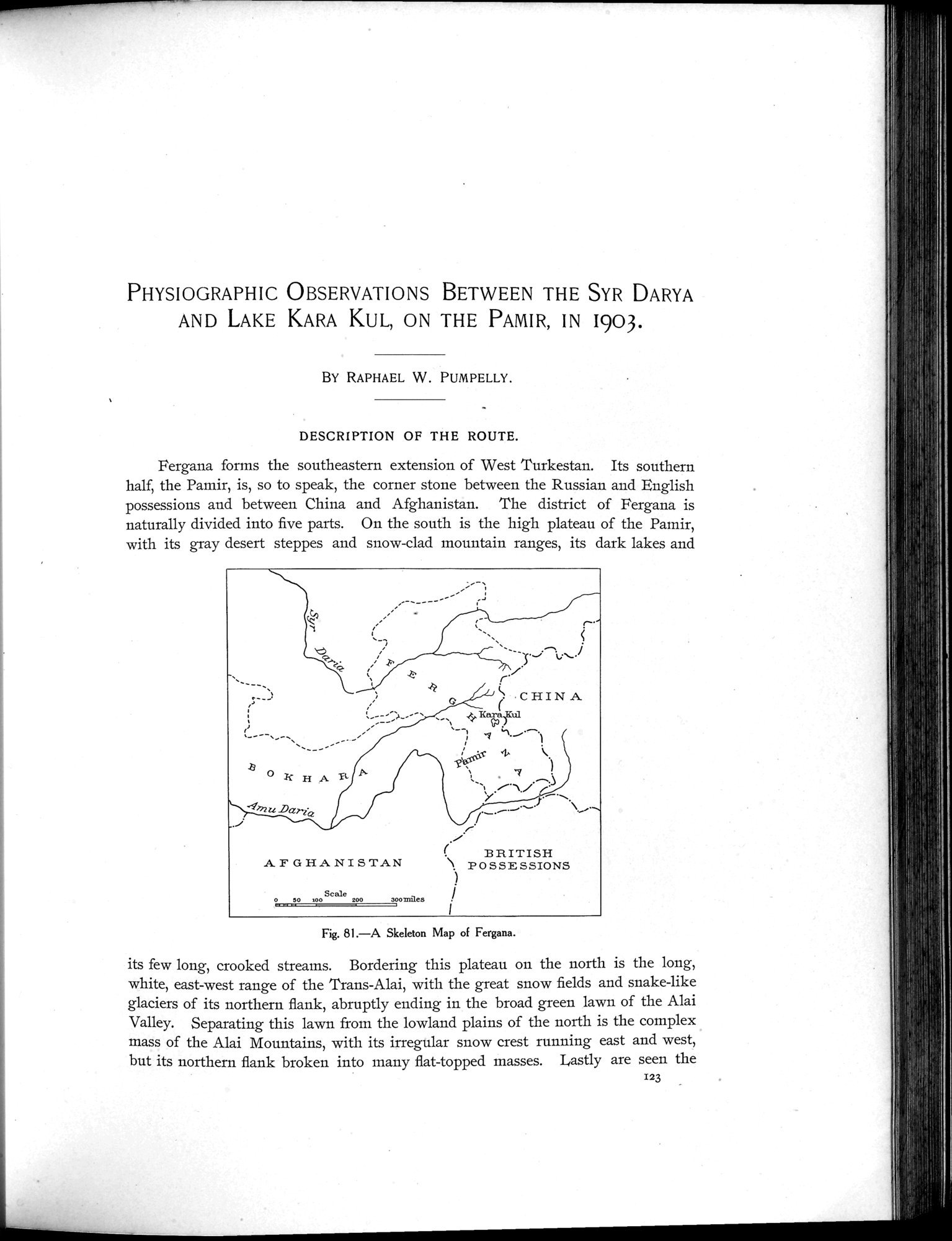 |
| フェルガナのスケルトン(Skeleton)地図A Skeleton Map of Fergana. |
PHYSIOGRAPHIC OBSERVATIONS BETWEEN THE SYR DARYA AND LAKE KARA KUL, ON THE PAMIR, IN I903.
BY RAPHAEL W. PUMPELLY.
DESCRIPTION OF THE ROUTE.
Fergana forms the southeastern extension of West Turkestan. Its southern half, the Pamir, is, so to speak, the corner stone between the Russian and English possessions and between China and Afghanistan. The district of Fergana is naturally divided into five parts. On the south is the high plateau of the Pamir, with its gray desert steppes and snow-clad mountain ranges, its dark lakes and
Fig. 81.—A Skeleton Map of Fergana.
its few long, crooked streams. Bordering this plateau on the north is the long, white, east-west range of the Trans-Alai, with the great snow fields and snake-like glaciers of its northern flank, abruptly ending in the broad green lawn of the Alai Valley. Separating this lawn from the lowland plains of the north is the complex mass of the Alai Mountains, with its irregular snow crest running east and west, but its northern flank broken into many flat-topped masses. Lastly are seen the
•
,~.~
~_-~
1 ;
_
;~_..
.8
~ If H A g,
'41'72U DczrtQ
, .
/ F
`•CHIN A
BRITISH
AFGHANISTAN '\ POSSESSIONS
0 50 100 Scale 200 30077111es
P 1 I
123
|
Copyright (C) 2003-2019
National Institute of Informatics(国立情報学研究所)
and
The Toyo Bunko(東洋文庫). All Rights Reserved.
本ウェブサイトに掲載するデジタル文化資源の無断転載は固くお断りいたします。