National Institute of Informatics - Digital Silk Road Project
| |||||||||
|
| Explorations in Turkestan 1903 : vol.1 |
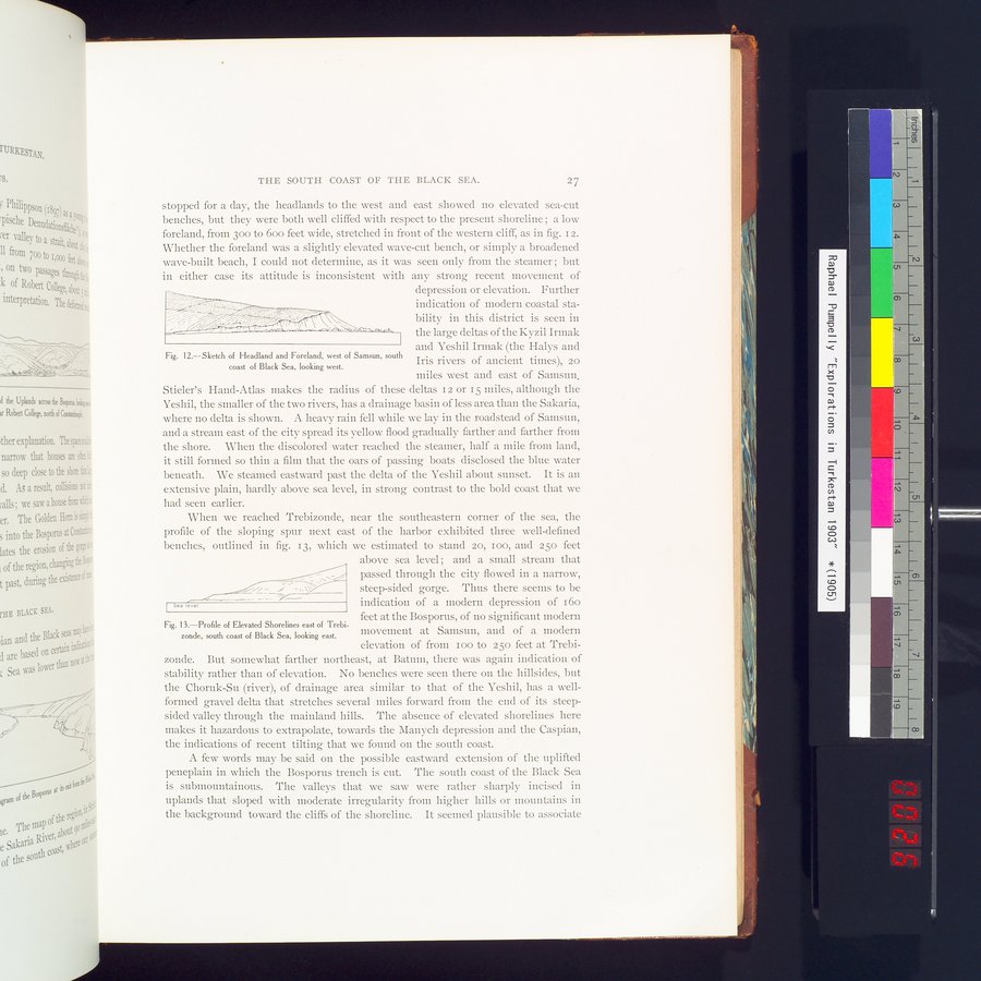 |
| Sketch of Headland and Foreland, west of Samsun, south coast of Black Sea, looking west. | |
| Profile of Elevated Shorelines east of Trebizonde, south coast of Black Sea, looking East. |
THE SOUTH COAST OF THE BLACK SEA. 27
stopped for a day, the headlands to the west and east showed no elevated sea-cut benches, but they were both well cliffed with respect to the present shoreline ; a low foreland, from 30o to boo feet wide, stretched in front of the western cliff, as in fig. 12. Whether the foreland was a slightly elevated wave-cut bench, or simply a broadened wave-built beach, I could not determine, as it was seen only from the steamer ; but in either case its attitude is inconsistent with any strong recent movement of
depression or elevation. Further
indication of modern coastal sta-
bility in this district is seen in
the large deltas of the Kyzil Irmak
and Yeshil Irmak (the Halys and
Iris rivers of ancient times), 20
miles west and east of Samsun.
Stieler's Hand-Atlas makes the radius of these deltas 12 or 15 miles, although the Yeshil, the smaller of the two rivers, has a drainage basin of less area than the Sakaria, where no delta is shown. A heavy rain fell while we lay in the roadstead of Samsun, and a stream east of the city spread its yellow flood gradually farther and farther from the shore. When the discolored water reached the steamer, half a mile from land, it still formed so thin a filin that the oars of passing boats disclosed the blue water beneath. We steamed eastward past the delta of the Yeshil about sunset. It is an extensive plain, hardly above sea level, in strong contrast to the bold coast that we had seen earlier.
When we reached Trebizonde, near the southeastern corner of the sea, the profile of the sloping spur next east of the harbor exhibited three well-defined benches, outlined in fig. 13, which we estimated to stand 20, Ioo, and 25o feet above sea level ; and a small stream that
k._ ~~/ passed through the city flowed in a narrow,
Gß.í • ; -, ., steep-sided gorge. Thus there seems to be
Sea level ._.,~ indication of a modern depression of 16o
feet at the Bosporus, of no significant modern
tk Fig. 13.—Profile of Elevated Shorelines east of Trebi-
zonde, south coast of Black Sea, looking east. movement at Samsun, and of a modern
e elevation of from zoo to 25o feet at Trebi-
t'. zonde. But somewhat farther northeast, at Baturn, there was again indication of
stability rather than of elevation. No benches were seen there on the hillsides, but the Choruk-Su (river), of drainage area similar to that of the Yeshil, has a well-formed gravel delta that stretches several miles forward from the end of its steep-sided valley through the mainland hills. The absence of elevated shorelines here makes it hazardous to extrapolate, towards the Manych depression and the Caspian, the indications of recent tilting that we found on the south coast. •
j A few words may be said on the possible eastward extension of the uplifted
60 peneplain in which the Bosporus trench is cut. The south coast of the Black Sea
is submountainous. The valleys that we saw were rather sharply incised in uplands that sloped with moderate irregularity from higher hills or mountains in the background toward the cliffs of the shoreline. It seemed plausible to associate
Fig. 12.--Sketch of Headland and Foreland, west of Samsun, south coast of Black Sea, looking west.
|
Copyright (C) 2003-2019 National Institute of Informatics and The Toyo Bunko. All Rights Reserved.