National Institute of Informatics - Digital Silk Road Project
| |||||||||
|
| Explorations in Turkestan 1903 : vol.1 |
 |
| A Tarentass at a Station on the Post-road between Vyernyi and Semipalatinsk. | |
| Rough outline of the Dsungarian Ala-tau, looking south. |
THE NORTHERN RANGES AND STEPPES. 77
THE RANGES AND STEPPES OF SEMIRYETSHENSK AND SEMIPALATINSK.
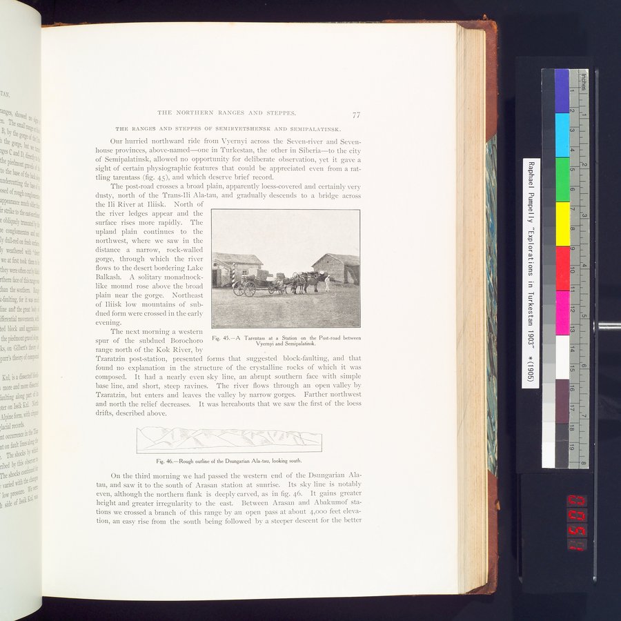
Our hurried northward ride from Vyernyi across the Seven-river and Seven-house provinces, above-named—one in Turkestan, the other in Siberia—to the city of Semipalatinsk, allowed no opportunity for deliberate observation, yet it gave a sight of certain physiographic features that could be appreciated even from a rattling tarentass (fig. 45), and which deserve brief record.
The post-road crosses a broad plain, apparently loess-covered and certainly very dusty, north of the Trans-Ili Ala-tau, and gradually descends to a bridge across
the Ili River at Iliisk. North of the river ledges appear and the surface rises more rapidly. The upland plain continues to the northwest, where we saw in the distance a narrow, rock-walled gorge, through which the river flows to the desert bordering Lake
Balkash. A solitary monadnock-•
like mound rose above the broad`, ~^
plain near the gorge. Northeast of Iliisk low mountains of sub-
dued form were crossed in the early evening.
The next morning a western spur of the subdued Borochoro range north of the Kok River, by
Tzaratzin post-station, presented forms that suggested block-faulting, and that found no explanation in the structure of the crystalline rocks of which it was composed. It had a nearly even sky line, an abrupt southern face with simple base line, and short, steep ravines. The river flows through an open valley by Tzaratzin, but enters and leaves the valley by narrow gorges. Farther northwest and north the relief decreases. It was hereabouts that we saw the first of the loess drifts, described above.
Fig. 46.—Rough outline of the Dsungarian Ala-tau, looking south.
On the third morning we had passed the western end of the Dsungarian Ala-tau, and saw it to the south of Arasan station at sunrise. Its sky line is notably even, although the northern flank is deeply carved, as in fig. 46. It gains greater height and greater irregularity to the east. Between Arasan and Abakumof stations we crossed a branch of this range by an open pass at about 4,000 feet elevation, an easy rise from the south being followed by a steeper descent for the better
Fig. 45.—A Tarentass at a Station on the Post-road between
Vyernyi and Semipalatinsk.
|
Copyright (C) 2003-2019 National Institute of Informatics and The Toyo Bunko. All Rights Reserved.