National Institute of Informatics - Digital Silk Road Project
| |||||||||
|
| Explorations in Turkestan 1903 : vol.1 |
 |
| The Rolling Steppe north of Sergiopol, Semipalatinsk. |
THE STEPPE OF SEMIPALATINSK. 79
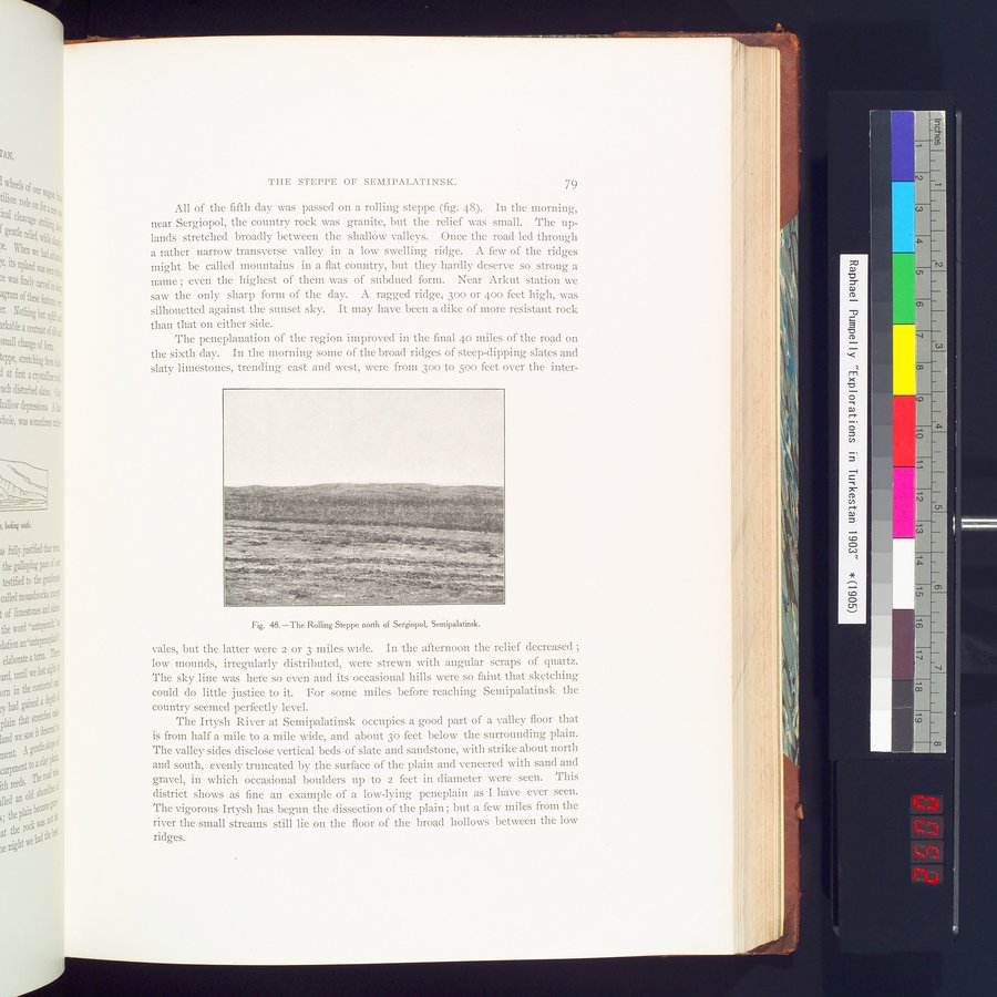
All of the fifth day was passed on a rolling steppe (fig. 48). In the morning, near Sergiopol, the country rock was granite, but the relief was small. The uplands stretched broadly between the shallow valleys. Once the road led through a rather narrow transverse valley in a low swelling ridge. A few of the ridges might be called mountains in a flat country, but they hardly deserve so strong a naine ; even the highest of them was of subdued form. Near Arkut station we saw the only sharp form of the day. A ragged ridge, 300 or 400 feet high, was silhouetted against the sunset sky. It may have been a dike of more resistant rock than that on either side.
The peneplanation of the region improved in the final 4o miles of the road on the sixth day. In the morning some of the broad ridges of steep-dipping slates and slaty limestones, trending east and west, were from 30o to 500 feet over the inter-
Fig. 48.—The Rolling Steppe north of Sergiopol, Semipalatinsk.
vales, but the latter were 2 or 3 miles wide. In the afternoon the relief decreased ; low mounds, irregularly distributed, were strewn with angular scraps of quartz. The sky line was here so even and its occasional hills were so faint that sketching could do little justice to it. For some miles before reaching Semipalatinsk the country seemed perfectly level.
The Irtysh River at Semipalatinsk occupies a good part of a valley floor that is from half a mile to a mile wide, and about 3o feet below the surrounding plain. The valley sides disclose vertical beds of slate and sandstone, with strike about north and south, evenly truncated by the surface of the plain and veneered with sand and gravel, in which occasional boulders up to 2 feet in diameter were seen. This district shows as fine an example of a low-lying peneplain as I have ever seen. The vigorous Irtysh has begun the dissection of the plain ; but a few miles from the river the small streams still lie on the floor of the broad hollows between the low ridges.
i'
|
Copyright (C) 2003-2019 National Institute of Informatics and The Toyo Bunko. All Rights Reserved.