National Institute of Informatics - Digital Silk Road Project
| |||||||||
|
| Explorations in Turkestan 1903 : vol.1 |
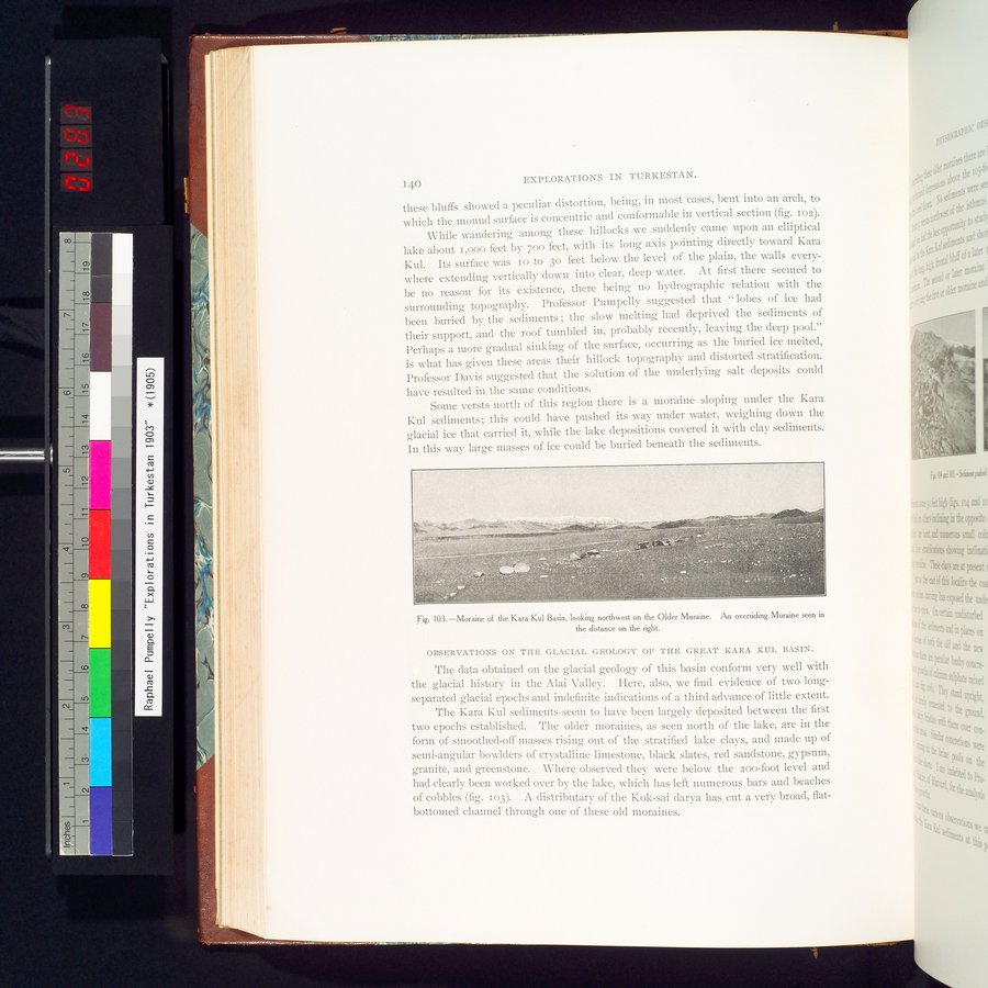 |
| Moraine of the Kara Kul Basin, looking northwest on the Older Moraine. An overriding Moraine seen in the distance on the right. |
140 EXPLORATIONS IN TURKESTAN.
these bluffs showed a peculiar distortion, being, in most cases, bent into an arch, to which the mound surface is concentric and conformable in vertical section (fig. 102).
While wandering among these hillocks we suddenly came upon an elliptical lake about i,000 feet by boo feet, with its long axis pointing directly toward Kara Kul. Its surface was io to 3o feet below the level of the plain, the walls everywhere extending vertically down into clear, deep water. At first there seemed to be no reason for its existence, there being no hydrographie relation with the surrounding topography. Professor Pumpelly suggested that " lobes of ice had been buried by the sediments ; the slow melting had deprived the sediments of their support, and the roof tumbled in, probably recently, leaving the deep pool." Perhaps a more gradual sinking of the surface, occurring as the buried ice melted, is what has given these areas their hillock topography and distorted stratification. Professor Davis suggested that the solution of the underlying salt deposits could have resulted in the same conditions.
Some versts north of this region there is a moraine sloping under the Kara Kul sediments ; this could have pushed its way under water, weighing down the glacial ice that carried it, while the lake depositions covered it with clay sediments. In this way large masses of ice could be buried beneath the sediments.
Fig. 103.—Moraine of the Kara Kul Basin, looking northwest on the Older Moraine. An overriding Moraine seen in the distance on the right.
OBSERVATIONS ON THE GLACIAL GEOLOGY OF THE GREAT KARA KUL BASIN.
The data obtained on the glacial geology of this basin conform very well with the glacial history in the Alai Valley. Here, also, we find evidence of two long-separated glacial epochs and indefinite indications of a third advance of little extent.
The Kara Kul sediments seem to have been largely deposited between the first two epochs established. The older moraines, as seen north of the lake, are in the form of smoothed-off masses rising out of the stratified lake clays, and made up of semi-angular bowlders of crystalline limestone, black slates, red sandstone, gypsum, granite, and greenstone. Where observed they were below the Zoo-foot level and had clearly been worked over by the lake, which has left numerous bars and beaches of cobbles (fig. 103). A distributary of the Kok-sai darya has cut a very broad, fiat-bottomed channel through one of these old moraines.
|
Copyright (C) 2003-2019 National Institute of Informatics and The Toyo Bunko. All Rights Reserved.