National Institute of Informatics - Digital Silk Road Project
| |||||||||
|
| Explorations in Turkestan 1903 : vol.1 |
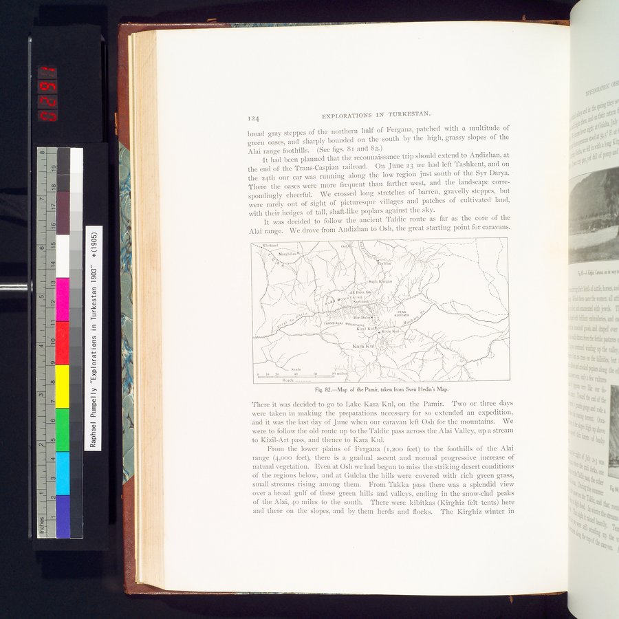 |
| Map of the Pamir, taken from Sven Hedin's Map. |
| 1 2 | EXPLORATIONS IN TURKESTAN. |
broad gray steppes of the northern half of Fergana, patched with a multitude of green oases, and sharply bounded on the south by the high, grassy slopes of the
Alai range foothills. (See figs. 8i and 82.)
It had been planned that the reconnaissance trip should extend to Andizhan, at the end of the Trans-Caspian railroad. On June 23 we had left Tashkent, and on the 24th our car was running along the low region just south of the Syr Darya. There the oases were more frequent than farther west, and the landscape correspondingly cheerful. We crossed long stretches of barren, gravelly steppes, but were rarely out of sight of picturesque villages and patches of cultivated land,
with their hedges of tall, shaft-like poplars against the sky.
It was decided to follow the ancient Taldic route as far as the core of the Alai range. We drove from Andizhan to Osh, the great starting point for caravans.
Fig. 82.—Map of the Pamir, taken from Sven Hedin's Map.
There it was decided to go to Lake Kara Kul, on the Pamir. Two or three days were taken in making the preparations necessary for so extended an expedition, and it was the last day of June when our caravan left Osh for the mountains. We were to follow the old route up to the Taldic pass across the Alai Valley, up a stream to Kizil-Art pass, and thence to Kara Kul.
From the lower plains of Fergana (1,200 feet) to the foothills of the Alai range (4,000 feet), there is a gradual ascent and normal progressive increase of natural vegetation. Even at Osh we had begun to miss the striking desert conditions of the regions below, and at Gulcha the hills were covered with rich green grass, small streams rising among them. From Takka pass there was a splendid view over a broad gulf of these green hills and valleys, ending in the snow-clad peaks of the Alai, 4o miles to the south. There were kibitkas (Kirghiz felt tents) here and there on the slopes, and by them herds and flocks. The Kirghiz winter in
Si>ISh ' íra n
,AlíBuaGa,
i% ♦ ~ l~/ '~~__'I kOUN`(ÂINS`: 3•
._a3c ` ; PV~ ~Sa •' tnsh '
\\' i ~\
9vi.i •~' ~ . •• ~~•' PEAK
/ 1 ~ Bor-llaba •• c KURUM01
6
,s`Jt 5 TRANS-ALAI MOUNTAINS "--ÿ' _ 1I67
Kizyl Kid L ,
_ . . • 4 `Ketir Ku.
— =
Kara Kul
Scale •
0 I0 20 40 00 80 miles •
--u— Roads
J
|
Copyright (C) 2003-2019 National Institute of Informatics and The Toyo Bunko. All Rights Reserved.