National Institute of Informatics - Digital Silk Road Project
| |||||||||
|
| Explorations in Turkestan 1903 : vol.1 |
 |
| Looking north from the front of the Kara Jilga Moraine to the Kizil Kul Steppe. |
142 EXPLORATIONS IN TURKESTAN.
that thickness of sediments disturbed by the advancing later moraine predates that advance ; (3) that the shore of a saline lake has retreated from about the i5o-foot level to its present position since the maximum of the overriding moraine ; (4) that too little time has elapsed for much alteration either by solution or weathering of the salt growths since the lake-shore existed at that height ; (5) that it seems probable that the flexibility exhibited by the pushed-up sediments during the advance was due to their being well soaked under water. This might indicate that the lake was not only there after the overriding moraine had come to rest, but possibly also during the advance, and soaked the otherwise brittle sediments into a flexible state.
We have seen that the Kara Kul sediments consist chiefly of the finest blue-gray clays, containing small flakes of mica and occasional small angular fragments of stone. The light blue-gray color is, in itself, remarkable, for all fine material brought down from the mountains to-day seems to be red. This shows that the old Kara Kul sediments are not oxidized, as are the deposits of to-day, and that
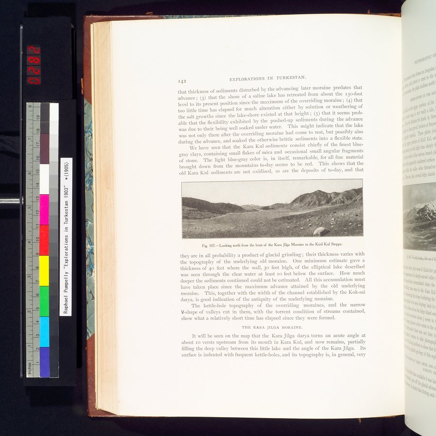
Fig. 107.—Looking north from the front of the Kara Jilga Moraine to the Kizil Kul Steppe.
they are in all probability a product of glacial grinding ; their thickness varies with the topography of the underlying old moraine. One minimum estimate gave a thickness of 4o feet where the wall, 3o feet high, of the elliptical lake described was seen through the clear water at least Io feet below the surface. How much deeper the sediments continued could not be estimated. All this accumulation must have taken place since the maximum advance attained by the old underlying moraine. This, together with the width of the channel established by the Kok-sai darya, is good indication of the antiquity of the underlying moraine.
The kettle-hole topography of the overriding moraines, and the narrow V-shape of valleys cut in them, with the torrent condition of streams contained, show what a relatively short time has elapsed since they were formed.
THE KARA JILGA MORAINE.
It will be seen on the map that the Kara Jilga darya turns an acute angle at about Io versts upstream from its mouth in Kara Kul, and now remains, partially filling the deep valley between this little lake and the angle of the Kara Jilga. Its surface is indented with frequent kettle-holes, and its topography is, in general, very
|
Copyright (C) 2003-2019 National Institute of Informatics and The Toyo Bunko. All Rights Reserved.