 IIIF Color HighRes
National Institute of Informatics - Digital Silk Road Project
| |||||||||
|
| IIIF Color HighRes |
| Southern Tibet : vol.7 |
 |
 |
 |
 |
 |
 |
|
|
 |
|
|
|
|
|
|
|
|
Citation Information
THEVENOT, KIRCHER AND OTHERS.
t.
;
6o
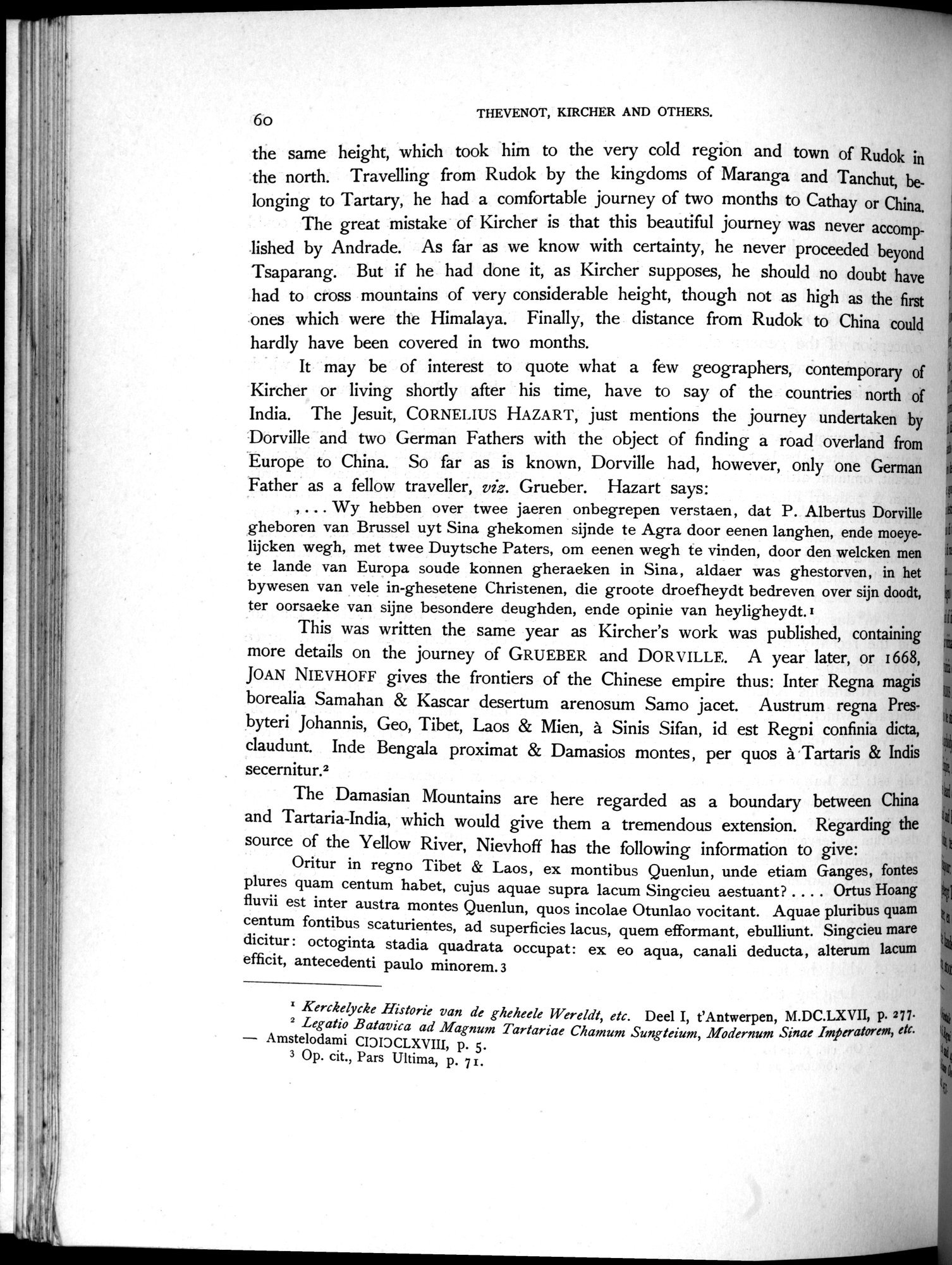
the same height, which took him to the very cold region and town of Rudok in the north. Travelling from Rudok by the kingdoms of Maranga and Tanchut, belonging to Tartary, he had a comfortable journey of two months to Cathay or China.
The great mistake of Kircher is that this beautiful journey was never accomplished by Andrade. As far as we know with certainty, he never proceeded beyond Tsaparang. But if he had done it, as Kircher supposes, he should no doubt have had to cross mountains of very considerable height, though not as high as the first ones which were the Himalaya. Finally, the distance from Rudok to China could hardly have been covered in two months.
It may be of interest to quote what a few geographers, contemporary of Kircher or living shortly after his time, have to say of the countries north of India. The Jesuit, CORNELIUS HAZAR`l', just mentions the journey undertaken by Dorville and two German Fathers with the object of finding a road overland from Europe to China. So far as is known, Dorville had, however, only one German Father as a fellow traveller, viz. Grueber. Hazart says:
, ... Wy hebben over twee jaeren onbegrepen verstaen, dat P. Albertus Dorville gheboren van Brussel uyt Sina ghekomen sijnde to Agra door eenen langhen, ende moeyelijcken wegh, met twee Duytsche Paters, om eenen wegh to vinden, door den welcken men to lande van Europa soude konnen gheraeken in Sina, aldaer was ghestorven, in het bywesen van vele in-ghesetene Christenen, die groote droefheydt bedreven over sijn doodt, ter oorsaeke van sijne besondere deughden, ende opinie van heyligheydt.I
This was written the same year as Kircher's work was published, containing more details on the journey of GRUEBER and DORVILLE. A year later, or 1668, JOAN NIEVHOFF gives the frontiers of the Chinese empire thus: Inter Regna magis borealia Samahan & Kascar desertum arenosum Samo jacet. Austrum regna Presbyteri Johannis, Geo, Tibet, Laos & Mien, à Sinis Sifan, id est Regni confinia dicta, claudunt. Inde Bengala proximat & Damasios montes , per quos à Tartaris & Indis secernitur.2
The Damasian Mountains are here regarded as a boundary between China and Tartaria-India, which would give them a tremendous extension. Regarding the source of the Yellow River, Nievhoff has the following information to give:
Oritur in regno Tibet & Laos, ex montibus Quenlun, unde etiam Ganges, fontes
plures quam centum habet, cujus aquae supra lacum Singcieu aestuant? Ortus Hoang
fluvii est inter austra montes Quenlun, quos incolae Otunlao vocitant. Aquae pluribus quam centum fontibus scaturientes, ad superficies lacus, quem efformant, ebulliunt. Singcieu mare dicitur : octoginta stadia quadrata occupat: ex eo aqua, canali deducta, alterum lacum efficit, antecedents paulo minorem. 3
I Kerckelycke Historie van de gheheele Wereldt, etc. Deel I, t'Antwerpen, M.DC.LXVII, p. 277.
2 Legatio Batavica ad Magnum Tartariae Chamum Sungteium, Moderniin: Sinae Imperatorem, etc. — Amstelodami CIDIDCLXVIII, p. 5.
3 Op. cit., Pars Ultima, p. 71.
|
|
|
|
|
|
|
|
|
Copyright (C) 2003-2019 National Institute of Informatics and The Toyo Bunko. All Rights Reserved.