 IIIF Color HighRes
National Institute of Informatics - Digital Silk Road Project
| |||||||||
|
| IIIF Color HighRes |
| Southern Tibet : vol.7 |
 |
 |
 |
 |
 |
 |
|
|
 |
|
|
|
|
|
|
|
|
Citation Information
J18
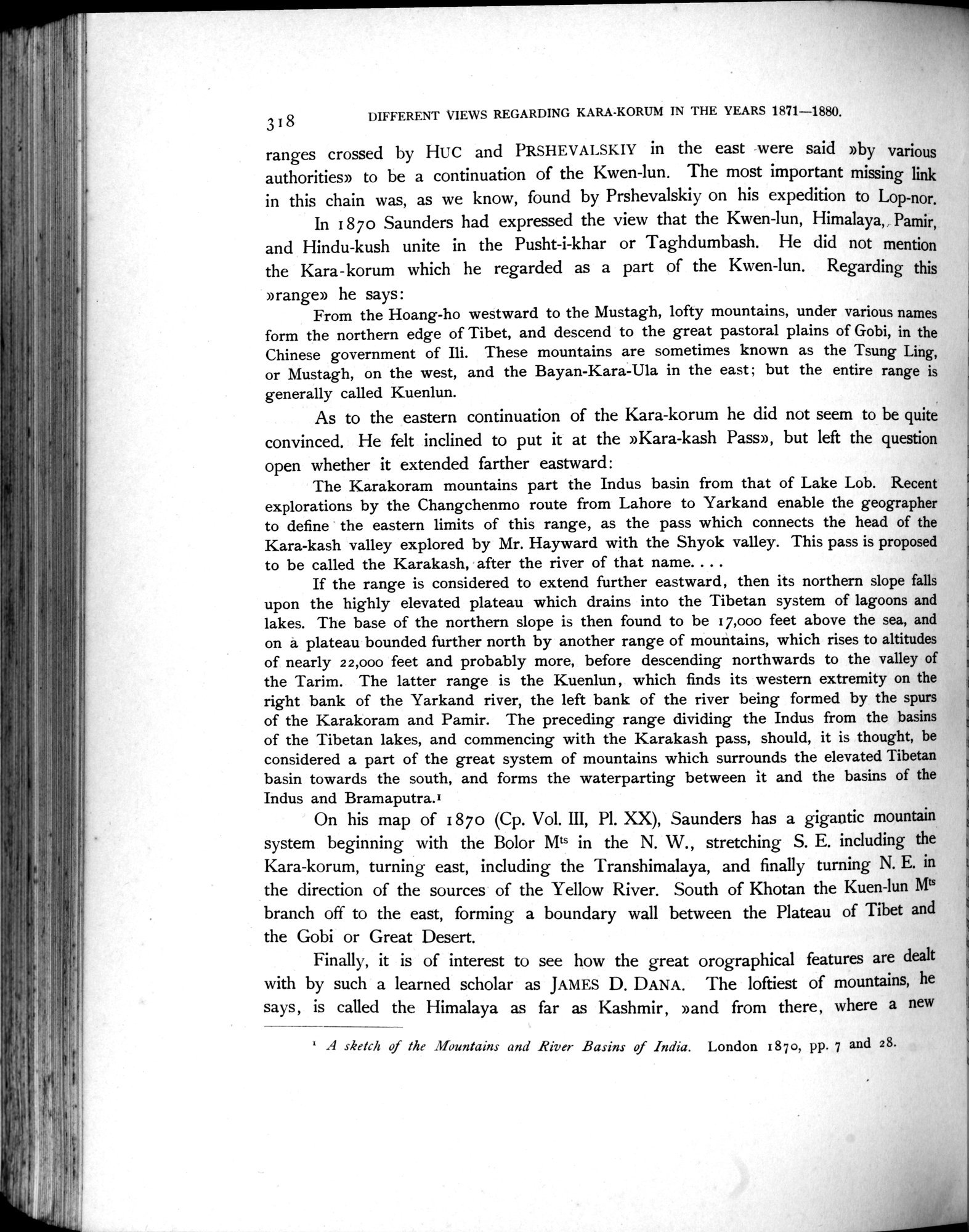
ranges crossed by HUC and PRSHEVALSKIY in the east were said »by various authorities» to be a continuation of the Kwen-lun. The most important missing link in this chain was, as we know, found by Prshevalskiy on his expedition to Lop-nor.
In 1870 Saunders had expressed the view that the Kwen-lun, Himalaya, Pamir, and Hindu-kush unite in the Pusht-i-khar or Taghdumbash. He did not mention the Kara-korum which he regarded as a part of the Kwen-lun. Regarding this
»range» he says:
From the Hoang-ho westward to the Mustagh, lofty mountains, under various names form the northern edge of Tibet, and descend to the great pastoral plains of Gobi, in the Chinese government of Ili. These mountains are sometimes known as the Tsung Ling, or Mustagh, on the west, and the Bayan-Kara-Ula in the east ; but the entire range is generally called Kuenlun.
As to the eastern continuation of the Kara-korum he did not seem to be quite convinced. He felt inclined to put it at the »Kara-kash Pass», but left the question
open whether it extended farther eastward:
The Karakoram mountains part the Indus basin from that of Lake Lob. Recent explorations by the Changchenmo route from Lahore to Yarkand enable the geographer to define the eastern limits of this range, as the pass which connects the head of the Kara-kash valley explored by Mr. Hayward with the Shyok valley. This pass is proposed to be called the Karakash, after the river of that name... .
If the range is considered to extend further eastward, then its northern slope falls upon the highly elevated plateau which drains into the Tibetan system of lagoons and lakes. The base of the northern slope is then found to be 17,000 feet above the sea, and on a plateau bounded further north by another range of mountains, which rises to altitudes of nearly 22,000 feet and probably more, before descending northwards to the valley of the Tarim. The latter range is the Kuenlun, which finds its western extremity on the right bank of the Yarkand river, the left bank of the river being formed by the spurs of the Karakoram and Pamir. The preceding range dividing the Indus from the basins of the Tibetan lakes, and commencing with the Karakash pass, should, it is thought, be considered a part of the great system of mountains which surrounds the elevated Tibetan basin towards the south, and forms the waterparting between it and the basins of the Indus and Bramaputra. i
On his map of 1870 (Cp. Vol. III, Pl. XX), Saunders has a gigantic mountain system beginning with the Bolor Mts in the N. W., stretching S. E. including the Kara-korum, turning east, including the Transhimalaya, and finally turning N. E. in the direction of the sources of the Yellow River. South of Khotan the Kuen-lun Mts branch off to the east, forming a boundary wall between the Plateau of Tibet and the Gobi or Great Desert.
Finally, it is of interest to see how the great orographical features are dealt with by such a learned scholar as JAmEs D. DANA. The loftiest of mountains, he says, is called the Himalaya as far as Kashmir, »and from there, where a new
DIFFERENT VIEWS REGARDING KARA-KORUM IN THE YEARS 1871-1880.
A sketch of the Mountains and River Basins of India. London 187o, pp. 7 and 28.
|
|
|
|
|
|
|
|
|
Copyright (C) 2003-2019 National Institute of Informatics and The Toyo Bunko. All Rights Reserved.