 IIIF Color HighRes
National Institute of Informatics - Digital Silk Road Project
| |||||||||
|
| IIIF Color HighRes |
| Southern Tibet : vol.7 |
 |
 |
 |
 |
 |
 |
|
|
 |
|
|
|
|
|
|
|
|
Citation Information
JOHNSON'S JOURNEY TO KHOTAN.
it
~
p
24o
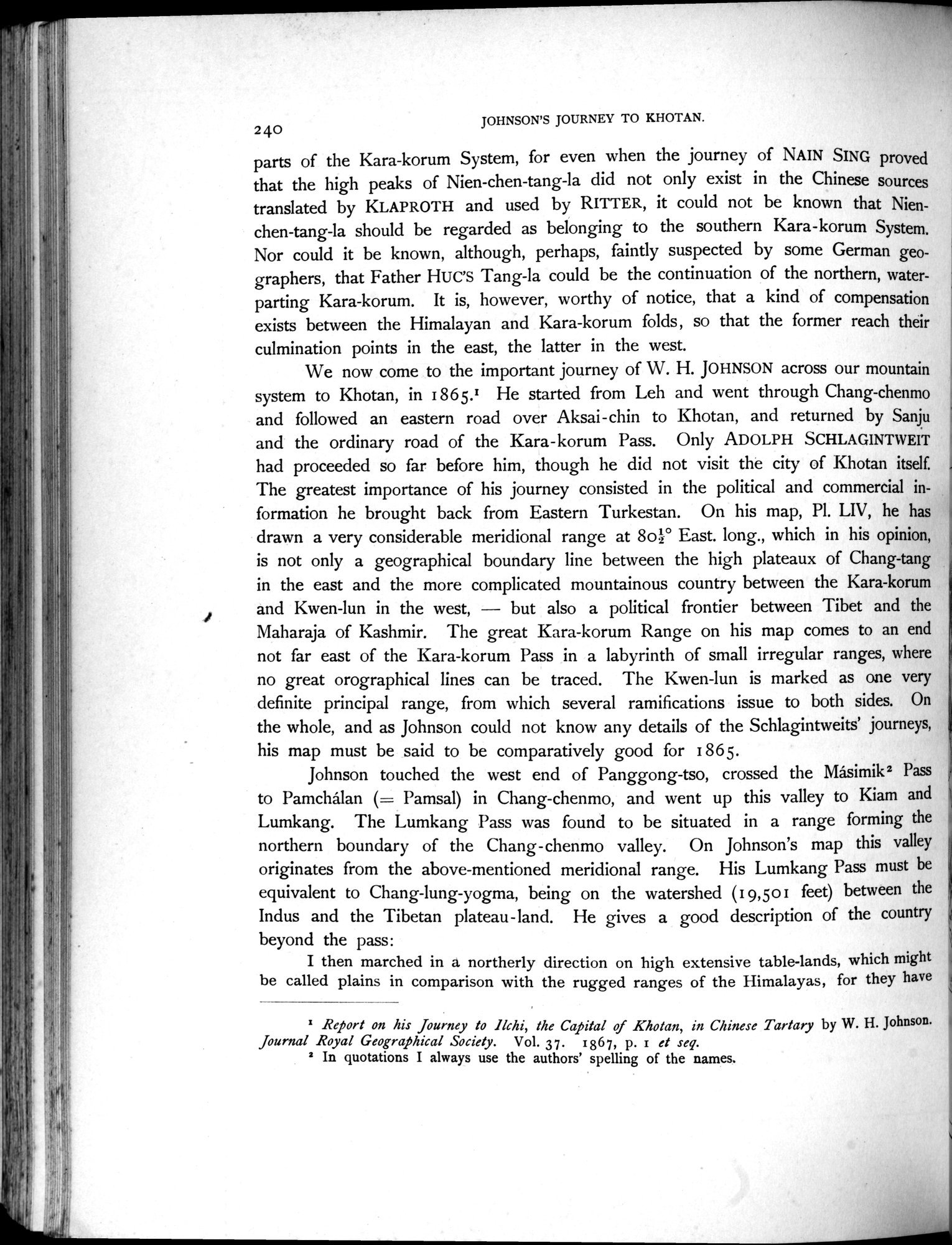
parts of the Kara-korum System, for even when the journey of NAIN SING proved that the high peaks of Nien-chen-tang-la did not only exist in the Chinese sources translated by KLAPROTH and used by RITTER, it could not be known that Nienchen-tang-la should be regarded as belonging to the southern Kara-korum System. Nor could it be known, although, perhaps, faintly suspected by some German geographers, that Father HUG'S Tang-la could be the continuation of the northern, water-parting Kara-korum. It is, however, worthy of notice, that a kind of compensation exists between the Himalayan and Kara-korum folds, so that the former reach their culmination points in the east, the latter in the west.
We now come to the important journey of W. H. JOHNSON across our mountain system to Khotan, in 1865.1 He started from Leh and went through Chang-chenmo and followed an eastern road over Aksai-chin to Khotan, and returned by Sanju and the ordinary road of the Kara-korum Pass. Only ADOLPH SCHLAGINTWEIT had proceeded so far before him, though he did not visit the city of Khotan itself. The greatest importance of his journey consisted in the political and commercial information he brought back from Eastern Turkestan. On his map, Pl. LIV, he has drawn a very considerable meridional range at 8o2° East. long., which in his opinion, is not only a geographical boundary line between the high plateaux of Chang-tang in the east and the more complicated mountainous country between the Kara-korum and Kwen-lun in the west, — but also a political frontier between Tibet and the Maharaja of Kashmir. The great Kara-korum Range on his map comes to an end not far east of the Kara-korum Pass in a labyrinth of small irregular ranges, where no great orographical lines can be traced. The Kwen-lun is marked as one very definite principal range, from which several ramifications issue to both sides. On the whole, and as Johnson could not know any details of the Schlagintweits' journeys, his map must be said to be comparatively good for 1865.
Johnson touched the west end of Panggong-tso, crossed the Måsimik2 Pass to Pamchalan (= Pamsal) in Chang-chenmo, and went up this valley to Kiam and Lumkang. The Lumkang Pass was found to be situated in a range forming the northern boundary of the Chang-chenmo valley. On Johnson's map this valley originates from the above-mentioned meridional range. His Lumkang Pass must be equivalent to Chang-lung-yogma, being on the watershed (19,501 feet) between the Indus and the Tibetan plateau-land. He gives a good description of the country beyond the pass:
I then marched in a northerly direction on high extensive table-lands, which might
be called plains in comparison with the rugged ranges of the Himalayas, for they have
u
I Report on his Journey to Ilchi, the Capital of Khotan, in Chinese Tartary by W. H. Johnson. Journal Royal Geographical Society. Vol. 37. 1g67, p. i et seq.
2 In quotations I always use the authors' shelling of the names.
{
,v
|
|
|
|
|
|
|
|
|
Copyright (C) 2003-2019 National Institute of Informatics and The Toyo Bunko. All Rights Reserved.