国立情報学研究所 - ディジタル・シルクロード・プロジェクト
| |||||||||
|
| Southern Tibet : vol.3 | |
| 南チベット : vol.3 |
 |
•
•
90 MAPS OF TIBET FROM 1820 TO 1850.
in many respects different from d'Anville's map. Where we should expect the Kwenlun, there is a border range called Kentaisse Gebirge, although one cannot understand how that famous name could be given to it, remembering the fact that d'An-ville, almost a hundred years earlier had marked Kentaisse at its right place. The country north of this range is called »Turfan, kleine Bucharey oder Ost-Dshagatai», and this country is obviously believed to be a high plateau-land.
The meridional range, culminating in Mus-tagh-ata, is called Mustag oder Karakurrum Gebirge, and the source of the river Schayuk is W.N.W. of Yarkand.
The great range of Lapie north of the Tsangpo has been split up in several mountain groups or irregular ranges more or less independent of each other and not at all reminding us of d'Anville.
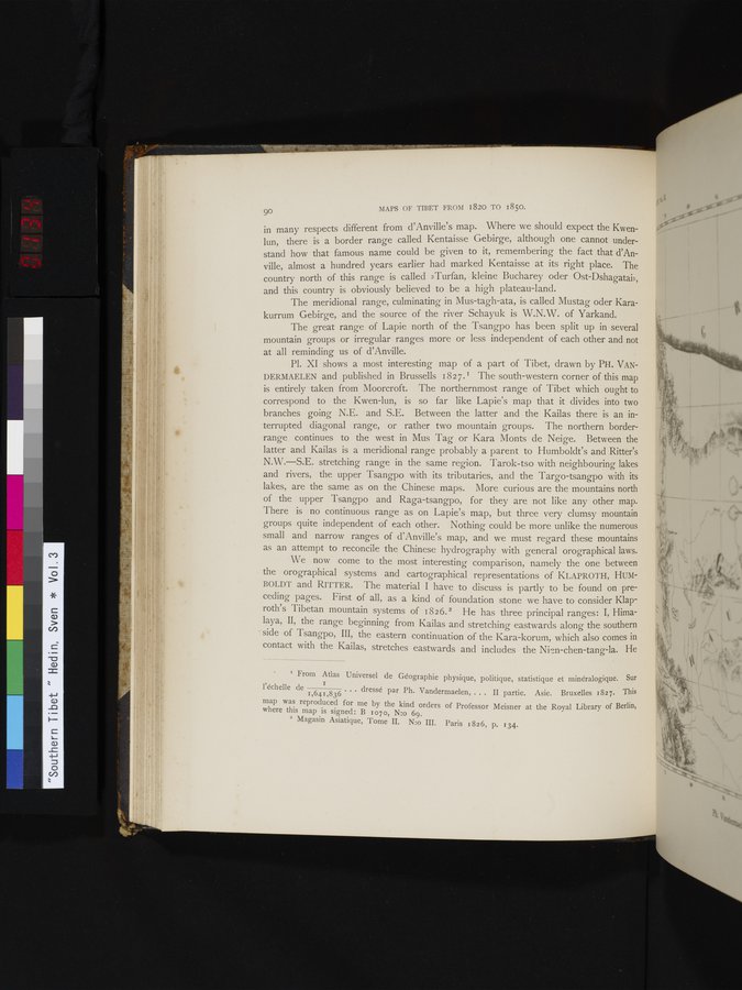
P1. XI shows a most interesting map of a part of Tibet, drawn by PH. VANDERMAELEN and published in Brussells 1827. r The south-western corner of this map is entirely taken from Moorcroft. The northernmost range of Tibet which ought to correspond to the Kwen-lun, is so far like Lapie's map that it divides into two branches going N.E. and S.E. Between the latter and the Kailas there is an interrupted diagonal range, or rather two mountain groups. The northern border-range continues to the west in Mus Tag or Kara Monts de Neige. Between the latter and Kailas is a meridional range probably a parent to Humboldt's and Ritter's N.W.—S.E. stretching range in the same region. Tarok-tso with neighbouring lakes and rivers, the upper Tsangpo with its tributaries, and the Targo-tsangpo with its lakes, are the same as on the Chinese maps. More curious are the mountains north of the upper Tsangpo and Raga-tsangpo, for they are not like any other map. There is no continuous range as on Lapie's map, but three very clumsy mountain groups quite independent of each other. Nothing could be more unlike the numerous small and narrow ranges of d'Anville's map, and we must regard these mountains as an attempt to reconcile the Chinese hydrography with general orographical laws.
We now come to the most interesting comparison, namely the one between the orographical systems and cartographical representations of KLAPROTH, HUMBOLDT and RITTER. The material I have to discuss is partly to be found on preceding pages. First of all, as a kind of foundation stone we have to consider Klaproth's Tibetan mountain systems of 1826.2 He has three principal ranges: I, Himalaya, II, the range beginning from Kailas and stretching eastwards along the southern side of Tsangpo, III, the eastern continuation of the Kara-korum, which also comes in contact with the Kailas, stretches eastwards and includes the Ni°n-chen-tang-la. He
I From Atlas Universel de Géographie physique, politique, statistique et minéralogique. Sur
l'échelle de 1 ... dressé par Ph. Vandermaelen, ... II partie. Asie. Bruxelles 1827. This
1,641,836
map was reproduced for me by the kind orders of Professor Meisner at the Royal Library of Berlin, where this map is signed: B 1070, N:o 69.
2 Magasin Asiatique, 'Tome II. N:o III. Paris 1826, p. 134.
1'
|
Copyright (C) 2003-2019
National Institute of Informatics(国立情報学研究所)
and
The Toyo Bunko(東洋文庫). All Rights Reserved.
本ウェブサイトに掲載するデジタル文化資源の無断転載は固くお断りいたします。