国立情報学研究所 - ディジタル・シルクロード・プロジェクト
| |||||||||
|
| Southern Tibet : vol.3 | |
| 南チベット : vol.3 |
 |
CHAPTER XLIII.
THE ROAD TO NGANGLARING-TSO.
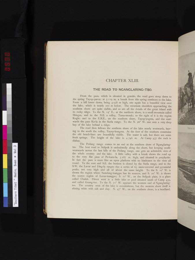
From the pass, which is situated in granite, the road goes steep down to the spring Tayep-parva; at 5 '19 m, a brook from this spring continues to the lake. From a hill lower down, being 4 938 m high, one again has a beautiful view over the lake, which is nearly 200 m below. The mountain shoulders approaching the southern shore are quite visible, and so are all the details of the great island with its rocky ridge. To the N. 14° E., at the northern shore, is a small mountain called Shingsa, and to the N.E. a valley, Tama-mesuk; to the right of it is the region Kogle; acid to the E.N.E., on the southern shore, Tayep-yogma, and due eastwards the pass Ka-la in the Surla range. To the N. 26° W. one sees a very deep bay of the lake behind a ridge.
The road then follows the southern shore of the lake nearly westwards, leaving to the south the valley, Tayep-kongma. At the foot of the southern mountains the old beach-lines are beautifully visible. The water is salt, but there are some fresh springs. The height of the lake is 4 746 m. At Camp 437 the rock is diabas.
The Pedang range comes to an end at the southern shore of Nganglaringtso. The best road to Selipuk is undoubtedly along the shore, but keeping southwestwards across the last hills of the Pedang range, one gets an admirable view of the whole country and the lake. A little valley with a brook shows the road up to the very flat pass of Pu-karu-la, 5 287 m. high, and situated in porphyrite. In fact the pass is more like an open platform with no hindrance to the view all round. To the east and S.E. the horizon is closed by the Surla range, and to the S.W. the Lavar and Ding-la ranges rise a series of 63 snow-covered and pyramidal peaks, not very high and all of about the same height. To the S. r o° W. is shown the region where Sumdang-tsangpo has its sources, and S. 20° W. is shown the source region of Lavar-tsangpo; S. i o° W , on the Selipuk plain, is a place called Chalak. Direct west is a little lake or pool situated south of Camp 439, and called Goang-tso. To the N. 71° W. appears the western end of Nganglaringtso. The country west of the lake is mountainous, but the western shore itself is shining white with salt and clay. N. 47° W., on the southern shore, is a headland,
|
Copyright (C) 2003-2019
National Institute of Informatics(国立情報学研究所)
and
The Toyo Bunko(東洋文庫). All Rights Reserved.
本ウェブサイトに掲載するデジタル文化資源の無断転載は固くお断りいたします。