国立情報学研究所 - ディジタル・シルクロード・プロジェクト
| |||||||||
|
| Southern Tibet : vol.3 | |
| 南チベット : vol.3 |
 |
352 THE ROAD TO TAROK-TSO.
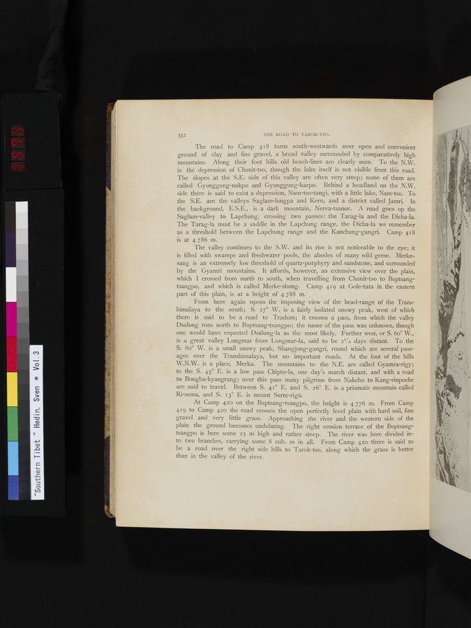
The road to Camp 418 turns south-westwards over open and convenient ground of clay and fine gravel, a broad valley surrounded by comparatively high mountains. Along their foot hills old beach-lines are clearly seen. To the N.W. is the depression of Chunit-tso, though the lake itself is not visible from this road. The slopes at the S.E. side of this valley are often very steep; some of them are called Gyunggung-nakpo and Gyunggung-karpo. Behind a headland on the N.W. side there is said to exist a depression, Nam-tso-tangi, with a little lake, Nam-tso. To the S.E. are the valleys Saglam-lungpa and Kero, and a district called Jamri. In the background, E.S.E., is a dark mountain, Nerva-tsanor. A road goes up the Saglam-valley to Lapchung, crossing two passes: the Tarag-la and the Dicha-la. The Tarag-la must be a saddle in the Lapchung range, the Dicha-la we remember as a threshold between the Lapchung range and the Kanchung-gangri. Camp 418 is at 4 786 m.
The valley continues to the S.W. and its rise is not noticeable to the eye; it is filled with swamps and freshwater pools, the abodes of many wild geese. Merke-sang is an extremely low threshold of quartz-porphyry and sandstone, and surrounded by the Gyamri mountains. It affords, however, an extensive view over the plain, which I crossed from north to south, when travelling from Chunit-tso to Buptsangtsangpo, and which is called Merke-shung. Camp 419 at Gole-tata in the eastern part of this plain, is at a height of 4 788 m.
From here again opens the imposing view of the head-range of the Transhimalaya to the south; S. 27° W. is a fairly isolated snowy peak, west of which there is said to be a road to Tradum; it crosses a pass, from which the valley Dsalung runs north to Buptsang-tsangpo ; the name of the pass was unknown, though
one would have expected Dsalung-la as the most likely. Further west, or S. 6o° W., is a great valley Lungmar from Lungmar-la, said to be 21/2 days distant. To the S. 80° W. is a small snowy peak, Shangjung-gangri, round which are several passages over the Transhimalaya, but no important roads. At the foot of the hills W.N.W. is a place, Merka. The mountains to the N.E. are called Gyamra-rigy; to the S. 45° E. is a low pass Chiptu-la, one day's march distant, and with a road to Bongba-kyangrang; over this pass many pilgrims from Nakchu to Kang-rinpoche are said to travel. Between S. 41° E. and S. 26° E. is a prismatic mountain called Ri-sema, and S. 13° E. is mount Serte-rigü.
At Camp 420 on the Buptsang-tsangpo, the height is 4 776 m. From Camp 419 to Camp 420 the road crosses the open perfectly level plain with hard soil, fine gravel and very little grass. Approaching the river and the western side of the plain the ground becomes undulating. The right erosion terrace of the Buptsangtsangpo is here some 25 m high and rather steep. The river was here divided into two branches, carrying some 8 cub. m in all. From Camp 420 there is said to be a road over the right side hills to Tarok-tso, along which the grass is better than in the valley of the river.
|
Copyright (C) 2003-2019
National Institute of Informatics(国立情報学研究所)
and
The Toyo Bunko(東洋文庫). All Rights Reserved.
本ウェブサイトに掲載するデジタル文化資源の無断転載は固くお断りいたします。