国立情報学研究所 - ディジタル・シルクロード・プロジェクト
| |||||||||
|
| Southern Tibet : vol.3 | |
| 南チベット : vol.3 |
 |
258
of which, to the left, were said to be: Dädä, Güju, Chogro, Langa, Chamle, Kong-sang, — and from the right: Shumgo, Tok-chamba, Tüshu, Chagelung, Puyung, Tangyung and Paumpu. Through all these valleys small brooks, now frozen, run down to form the Rung-chu. Between Mü-chu and Rung-chu only very insignificant tributaries flow down to Raga-tsangpo. At Ngartang the valley opens out to a little
triangular plain.
The highroad from Ngartang to Shigatse has two more passes to negotiate, which could be avoided if the Rung-chu valley were trafficable. But it is said to be impossible, for it is deep cut between high and steep mountain walls and its bottom is full of ice; there is a path on the slope, but it is covered with ice from several springs in winter. During the summer the Rung-chu road can be used; it keeps partly on the slopes, partly in the bottom of the valley, which, however, is sometimes full of water. The Rung- chu is said to form a series of rapids and waterfalls making a great noise; the difference in height between the Dangbä-la and the Tsangpo near the mouth of the Rung-chu is also considerable, namely, 132o m in a rather short distance. Chumbulung is a massive on the left side of Rung-chu, a little below Ngartang. Near Ngartang two small valleys, Chochung and Yanglung, enter the triangular widening, and another, coming from N. 25° E. is called Malung; its frozen watercourse is crossed by the road; all these brooks join the Rung-chu. On the left side, or to the east of Malung, the road ascends rounded earth- and moss-covered hills. To the north the valley Sanglang is seen with a road to Chingdu. To the N.E. and E.N.E. some mountains are seen, Ganglep, Denjum and Kyangduk, of which only the last-mentioned is snow-covered. Sari is a valley in its neighbourhood. Quite close to the south, is a small peak, Rikung-nakbo.
The valley from the Ta-la is called Talung; along it the ascent is steep for a while, but suddenly the valley opens out like an arena, almost perfectly level, covered with moss, blocks and gravel; a very low ridge bounding it on the N.E. is called Ya-ngopcha. The name of the arena is Gelung; Kelung is a valley parallel to it further N.E. ; beyond it is Ganglep with the valleys Nolung and Dalung on both sides. Higher up are the peaks Chimbok and Nagdinga, situated S.W. of the road, and Selung-nakbo a left tributary.
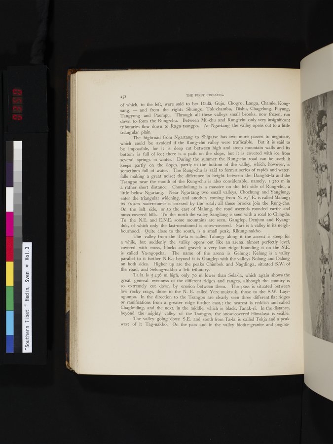
Ta-la is 5 436 m high, only 7o m lower than Sela-la, which again shows the great general evenness of the different ridges and ranges, although the country is so extremely cut down by erosion between them. The pass is situated between low rocky crags, those to the N. E. called Yere-muktsuk, those to the S.W. Layingumpo. In the direction to the Tsangpo are clearly seen three different flat ridges or ramifications from a greater ridge further east,; the nearest is reddish and called Chagle-ding, and the next, in the middle, which is black, Tanak-ri. In the distance, beyond the mighty valley of the Tsangpo, the snow-covered Himalaya is visible.
The valley going down S.E. and south from Ta-la is called Tokja and a peak west of it Tag-nakbo. On the pass and in the valley biotite-granite and pegma-
THE FIRST CROSSING.
|
Copyright (C) 2003-2019
National Institute of Informatics(国立情報学研究所)
and
The Toyo Bunko(東洋文庫). All Rights Reserved.
本ウェブサイトに掲載するデジタル文化資源の無断転載は固くお断りいたします。