国立情報学研究所 - ディジタル・シルクロード・プロジェクト
| |||||||||
|
| Southern Tibet : vol.3 | |
| 南チベット : vol.3 |
 |
240
TIBET IN STIELER'S HAND-ATLAS.
~'•
I.
.
.
9
,
•
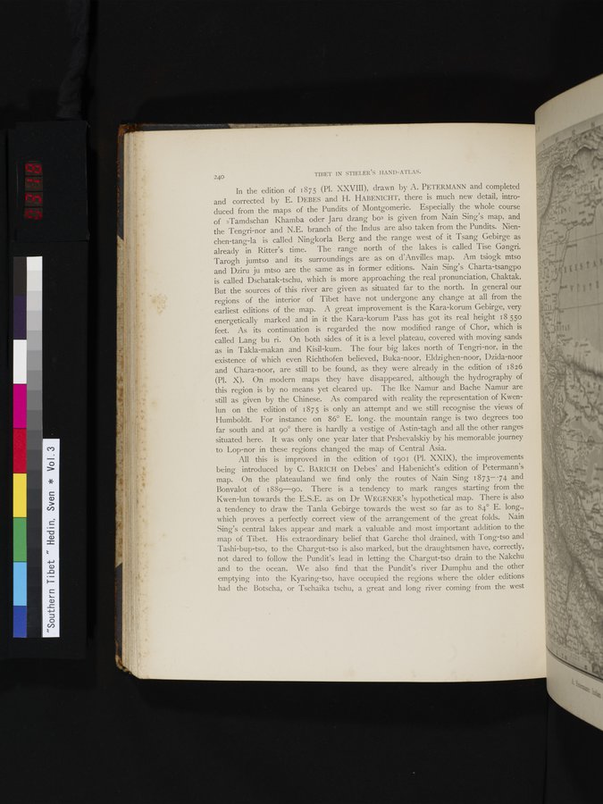
In the edition of 1875 (Pl. XXVIII), drawn by A. PETERMANN and completed and corrected by E. DEBES and H. HABENICHT, there is much new detail, introduced from the maps of the Pundits of Montgomerie. Especially the whole course of »Tamdschan Khamba oder Jaru dzang bo» is given from Nain Sing's map, and the Tengri-nor and N.E. branch of the Indus are also taken from the Pundits. Nienchen-tang-la is called Ningkorla Berg and the range west of it Tsang Gebirge as already in Ritter's time. The range north of the lakes is called Tise Gangri. Tarogh jumtso and its surroundings are as on d'Anvilles map. Am tsiogk mtso and Dziru ju mtso are the same as in former editions. Nain Sing's Charta-tsangpo is called Dschatak-tschu, which is more approaching the real pronunciation, Chaktak. But the sources of this river are given as situated far to the north. In general our regions of the interior of Tibet have not undergone any change at all from the earliest editions of the map. A great improvement is the Kara-korum Gebirge, very energetically marked and in it the Kara-korum Pass has got its real height 18 55o feet. As its continuation is regarded the now modified range of Chor, which is called Lang bu ri. On both sides of it is a level plateau, covered with moving sands as in Takla-makan and Kisil-kum. The four big lakes north of Tengri-nor, in the existence of which even Richthofen believed, Buka-noor, Eldzighen-noor, Dzida-noor and Chara-noor, are still to be found, as they were already in the edition of 1826 (Pl. X). On modern maps they have disappeared, although the hydrography of this region is by no means yet cleared up. The Ike Namur and Bache Namur are still as given by the Chinese. As compared with reality the representation of Kwenlun on the edition of 1875 is only an attempt and we still recognise the views of Humboldt. For instance on 86° E. long. the mountain range is two degrees too far south and at 90° there is hardly a vestige of Astin-tagh and all the other ranges situated here. It was only one year later that Prshevalskiy by his memorable journey to Lop-nor in these regions changed the map of Central Asia.
All this is improved in the edition of 1901 (Pl. XXIX), the improvements being introduced by C. BARICH on Debes' and Habenicht's edition of Petermann's map. On the plateauland we find only the routes of Nain Sing 1873— -74 and Bonvalot of 1889-90. There is a tendency to mark ranges starting from the Kwen-lun towards the E.S.E. as on Dr WEGENER's hypothetical map. There is also a tendency to draw the Tanla Gebirge towards the west so far as to 84° E. long., which proves a perfectly correct view of the arrangement of the great folds. Nain Sing's central lakes appear and mark a valuable and most important addition to the map of Tibet. His extraordinary belief that Garche thol drained, with Tong-tso and Tashi-bup-tso, to the Chargut-tso is also marked, but the draughtsmen have, correctly, not dared to follow the Pundit's lead in letting the Chargut-tso drain to the Nakchu and to the ocean. We also find that the Pundit's river Dumphu and the other emptying into the Kyaring-tso, have occupied the regions where the older editions had the Botscha, or Tschaika tschu, a great and long river coming from the west
•
|
Copyright (C) 2003-2019
National Institute of Informatics(国立情報学研究所)
and
The Toyo Bunko(東洋文庫). All Rights Reserved.
本ウェブサイトに掲載するデジタル文化資源の無断転載は固くお断りいたします。