国立情報学研究所 - ディジタル・シルクロード・プロジェクト
| |||||||||
|
| Southern Tibet : vol.3 | |
| 南チベット : vol.3 |
 |
CHAPTER XLII.
THE ROAD TO SHOVO-TSO.
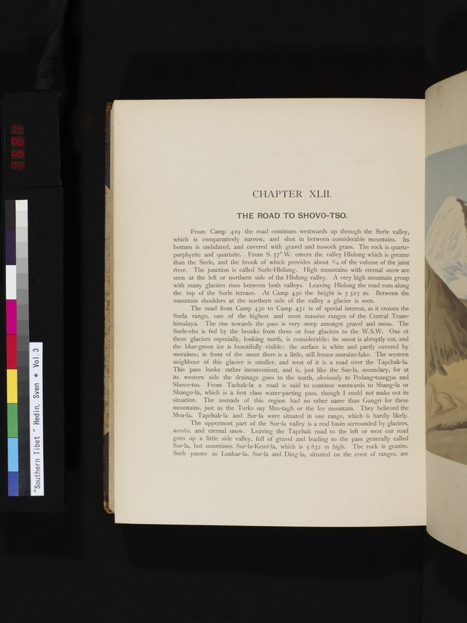
From Camp 429 the road continues westwards up through the Surle valley, which is comparatively narrow, and shut in between considerable mountains. Its bottom is undulated, and covered with gravel and tussock grass. The rock is quartzporphyrite and quartzite. From S. 57° W. enters the valley Hlolung which is greater than the Surle, and the brook of which provides about 3/4 of the volume of the joint river. The junction is called Surle-Hlolung. High mountains with eternal snow are seen at the left or northern side of the Hlolung valley. A very high mountain group with many glaciers rises between both valleys. Leaving Hlolung the road runs along the top of the Surle terrace. At Camp 43o the height is 5 525 m. Between the mountain shoulders at the northern side of the valley a glacier is seen.
The road from Camp 43o to Camp 431 is of special interest, as it crosses the Surla range, one of the highest and most massive ranges of the Central Transhimalaya. The rise towards the pass is very steep amongst gravel and moss. The Surie-chu is fed by the brooks from three or four glaciers to the W.S.W. One of these glaciers especially, looking north, is considerable; its snout is abruptly cut, and the blue-green ice is beautifully visible; the surface is white and partly covered by moraines; in front of the snout there is a little, still frozen moraine-lake. The western neighbour of this glacier is smaller, and west of it is a road over the Tapchak-la. This pass looks rather inconvenient, and is, just like the Sur-la, secondary, for at its western side the drainage goes to the north, obviously to Pedang-tsangpo and Shovo-tso. From Tachak-la a road is said to continue westwards to Shang-la or Shangu-la, which is a first class water-parting pass, though I could not make out its situation. The nomads of this region had no other name than Gangri for these mountains, just as the Turks say Mus-tagh or the Ice mountain. They believed the Men-la, Tapchak-la and Sur-la were situated in one range, which is hardly likely.
The uppermost part of the Sur-la valley is a real basin surrounded by glaciers, nevées, and eternal snow. Leaving the Tapchak road to the left or west our road goes up a little side valley, full of gravel and leading to the pass generally called Sur-la, but sometimes Sur-la-Kemi-la, which is 5 832 m high. The rock is granite. Such passes as Lunkar-la, Sur-la and Ding-la, situated on the crest of ranges, are
|
Copyright (C) 2003-2019
National Institute of Informatics(国立情報学研究所)
and
The Toyo Bunko(東洋文庫). All Rights Reserved.
本ウェブサイトに掲載するデジタル文化資源の無断転載は固くお断りいたします。