国立情報学研究所 - ディジタル・シルクロード・プロジェクト
| |||||||||
|
| Southern Tibet : vol.3 | |
| 南チベット : vol.3 |
 |
190
»The Lhasa River divides this range from the Tangla or Gangri Mountains, on the opposite side of the valley; and we have prolonged it as the edge of a steppe as far as the Bayan Kara Mountains — a suggestion which seems to us to be concurrent with the aspects of the smaller streams.»
Of the N.E. prolongation of the Gangri Saunders says: »In like manner, we have delineated a probable prolongation of the Gangri to the north, following a line of water-parting for a portion of the way, and then taking certain bends in the streams as indicative of their passage of the chain.»
The way in which Saunders has drawn these two ranges and the eastern Kwen-lun may serve as an illustration of the way in which he has drawn his Transhimalaya. The following passage is also conjecture: »The Lake Plateau is called Hor Pa, and is occupied by Turki tribes; and we believe that Hor means highland — at least, it does in some Oriental languages.» We have seen above from where this extraordinary information came!
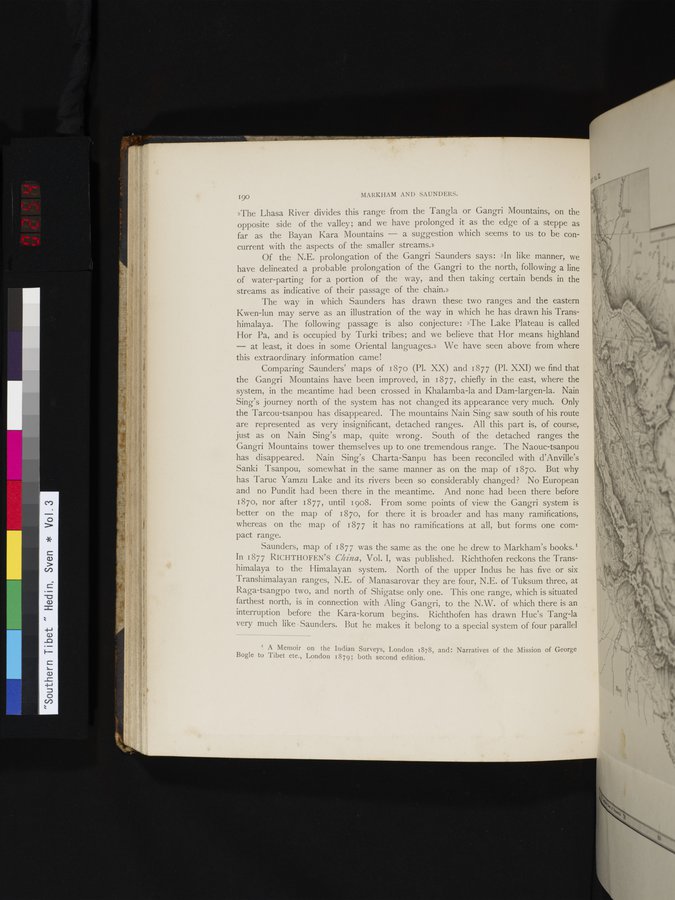
Comparing Saunders' maps of 187o (Pl. XX) and 1877 (Pl. XXI) we find that the Gangri Mountains have been improved, in 1877, chiefly in the east, where the system, in the meantime had been crossed in Khalamba-la and Dam-largen-la. Nain Sing's journey north of the system has not changed its appearance very much. Only the Tarcou-tsanpou has disappeared. The mountains Nain Sing saw south of his route are represented as very insignificant, detached ranges. All this part is, of course, just as on Nain Sing's map, quite wrong. South of the detached ranges the Gangri Mountains tower themselves up to one tremendous range. The Naouc-tsanpou has disappeared. Nain Sing's Charta-Sanpu has been reconciled with d'Anville's Sanki Tsanpou, somewhat in the same manner as on the map of 187o. But why has Taruc Yamzu Lake and its rivers been so considerably changed ? No European and no Pundit had been there in the meantime. And none had been there before 187o, nor after 1877, until 1908. From some points of view the Gangri system is better on the map of 187o, for there it is broader and has many ramifications, whereas on the map of 1877 it has no ramifications at all, but forms one compact range.
Saunders, map of 1877 was the same as the one he drew to Markham's books.' In 1877 RICHTHOFEN'S China, Vol. I, was published. Richthofen reckons the Transhimalaya to the Himalayan system. North of the upper Indus he has five or six Transhimalayan ranges, N.E. of Manasarovar they are four, N.E. of Tuksum three, at Raga-tsangpo two, and north of Shigatse only one. This one range, which is situated farthest north, is in connection with Aling Gangri, to the N.W. of which there is an interruption before the Kara-korum begins. Richthofen has drawn Huc's Tang-la very much like Saunders. But he makes it belong to a special system of four parallel
MARKHAM AND SAUNDERS.
cY
I A Memoir on the Indian Surveys, London 1878, and: Narratives of the Mission of George Bogle to Tibet ete., London 1879; both second edition.
|
Copyright (C) 2003-2019
National Institute of Informatics(国立情報学研究所)
and
The Toyo Bunko(東洋文庫). All Rights Reserved.
本ウェブサイトに掲載するデジタル文化資源の無断転載は固くお断りいたします。