国立情報学研究所 - ディジタル・シルクロード・プロジェクト
| |||||||||
|
| Scientific Results of a Journey in Central Asia, 1899-1902 : vol.3 | |
| 1899-1902年の中央アジア旅行における科学的成果 : vol.3 |
 |
IO MY FIRST JOURNEY IN NORTH-EASTERN TIBET.
quite perceptibly, upwards; it is but seldom broken, and presents a view of boundless extent in every direction. The countless shallow watercourses which traverse it no doubt often change their positions, and in that way help to level it down, and to distribute regularly and evenly the products of disintegration, sand and gravel, over the surface of this extensive talus of detritus, which stretches a long way to the east, and which I have crossed many times in the west, beginning at Chotan. On the whole it preserves the same uniform character throughout its entire length, and thus forms a transition between the mountains and the desert. Very different from these shallow watercourses are the exceedingly deep and energetically excavated tunnel-like channels which have carved their way down through the masses of graveland-shingle farther to the west, for instance the Möldscha, Bostan-toghrak, and Tollan-
chodscha (see fig. 197, vol. II), and in general all the waterways of the Kirk-saj. Arpasaj, of which I append an illustration (fig. 7), is in this respect peculiar; for while its left side is formed by a deep terrace of gravel-and-shingle, is right side is flat. I have already called attention to the fact, that the streams which flow down off the northern slopes of the Kwen-lun grow increasingly larger from east to west, from the little glen of Tatlik-bulak to the immense valley of the Jarkent-darja. The same thing holds good of these channels tunnelled through the detritus slope, at any rate as far west as the Tollan-chodscha. In both cases the increase is dependent upon the height, conformation, and situation of the mountains and upon the precipitation. In the vicinity of the Kara-koschun the largest stream is the Tscharkliksu, yet it never gets all the way down to the lake; we shall however return to this stream lower down. The altitude of Kum-tschapghan is 817 m., of Dunglik 882 m., and of Tatlik-bulak 1,953 m. Thus in the course of our first day's journey we ascended not less than 1,071 m., and consequently travelled from the lowlands, with their warm, heavy, stifling atmosphere, to the cool light pure air of the mountains.
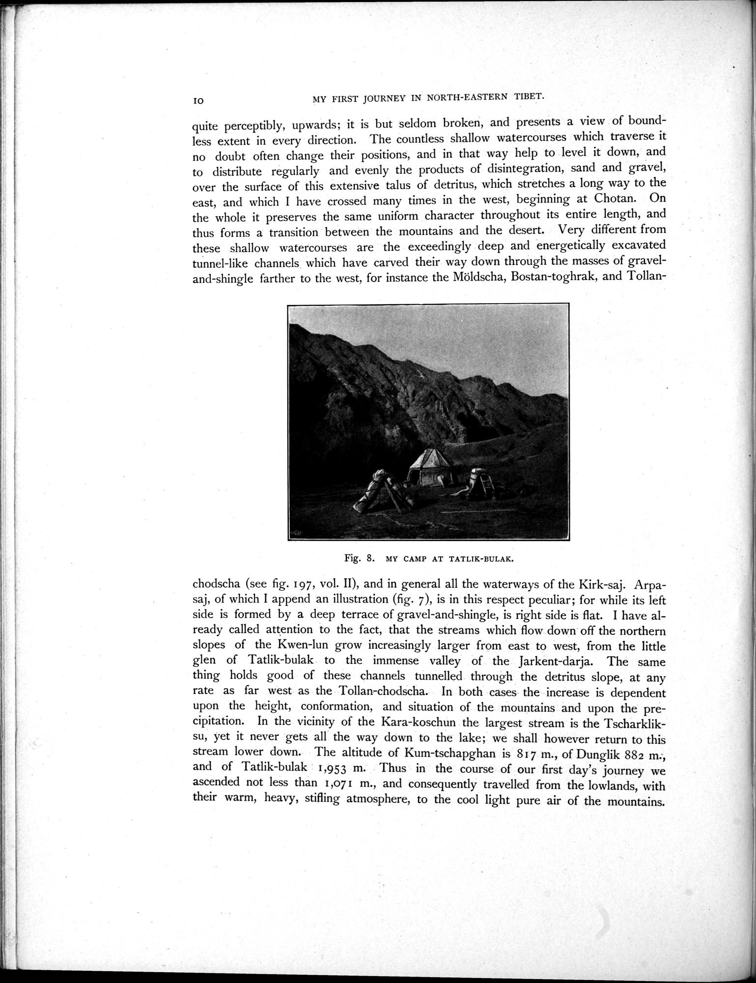
Fig. 8. MY CAMP AT TATLIK-BULAK.
|
Copyright (C) 2003-2019
National Institute of Informatics(国立情報学研究所)
and
The Toyo Bunko(東洋文庫). All Rights Reserved.
本ウェブサイトに掲載するデジタル文化資源の無断転載は固くお断りいたします。