国立情報学研究所 - ディジタル・シルクロード・プロジェクト
| |||||||||
|
| Scientific Results of a Journey in Central Asia, 1899-1902 : vol.3 | |
| 1899-1902年の中央アジア旅行における科学的成果 : vol.3 |
 |
TIBETAN QUAGMIRES - THE GLACIAL MOUNTAIN. 85
that the entire country slopes. These questions can only be answered by fresh exploration.
From the summit of the pass, a rounded, flattened saddle at an altitude of 5,122 m., we saw immense snowy mountain-masses in the S. 75° E. and S. 59° E.
The view southwards was again impeded by yet another east-west mountain-range.
In the new latitudinal valley at our feet, we perceived a moderate-sized lake stretching from west-south-west to east-north-east. Descending from the pass by a glen that
runs towards the south-south-east, we approached the lake by its northern shore.
i
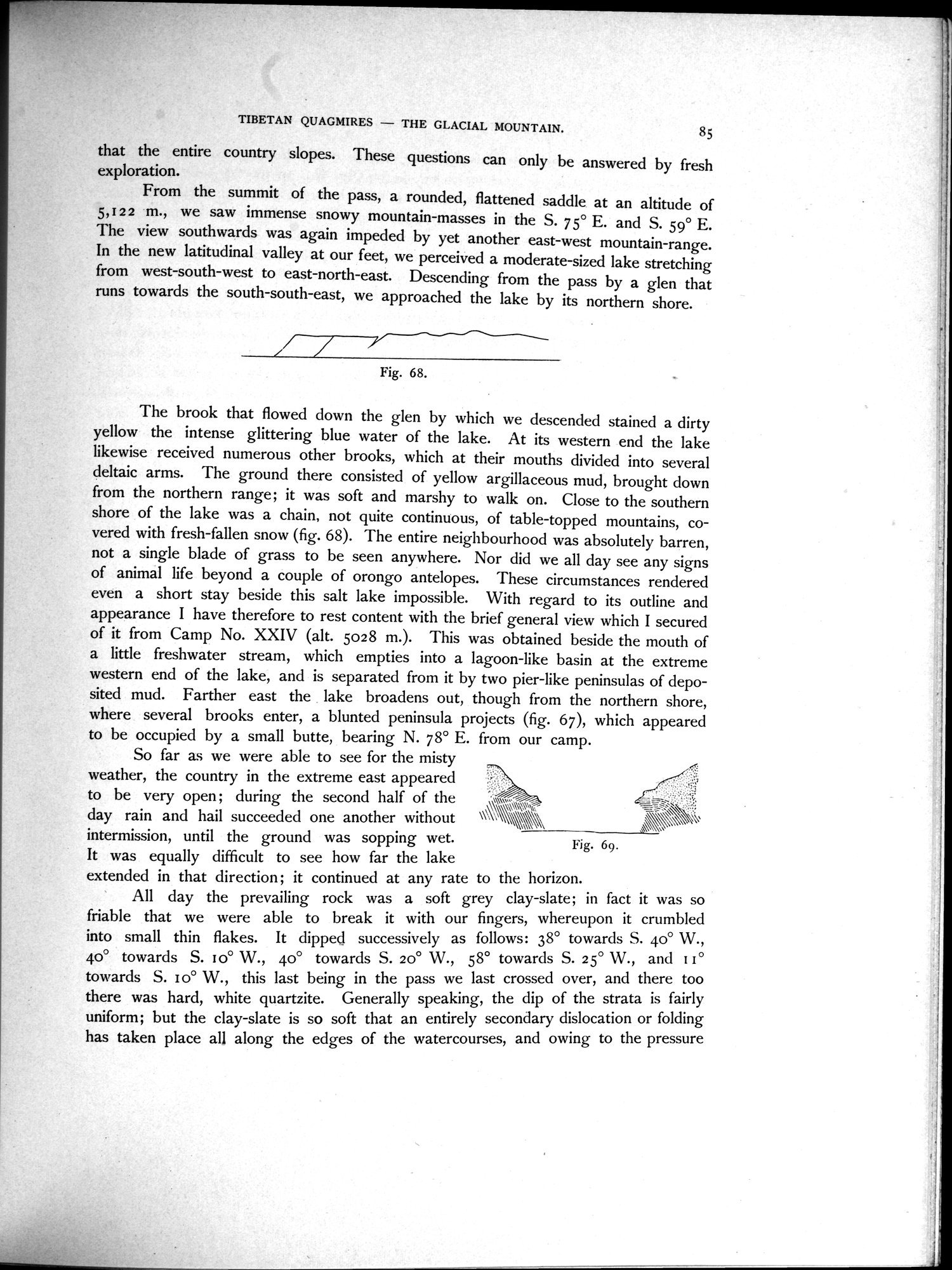
Fig. 68.
The brook that flowed down the glen by which we descended stained a dirty yellow the intense glittering blue water of the lake. At its western end the lake likewise received numerous other brooks, which at their mouths divided into several deltaic arms. The ground there consisted of yellow argillaceous mud, brought down from the northern range; it was soft and marshy to walk on. Close to the southern shore of the lake was a chain, not quite continuous, of table-topped mountains, covered with fresh-fallen snow (fig. 68). The entire neighbourhood was absolutely barren, not a single blade of grass to be seen anywhere. Nor did we all day see any signs of animal life beyond a couple of orongo antelopes. These circumstances rendered even a short stay beside this salt lake impossible. With regard to its outline and appearance I have therefore to rest content with the brief general view which I secured of it from Camp No. XXIV (alt. 5028 m.). This was obtained beside the mouth of a little freshwater stream, which empties into a lagoon-like basin at the extreme western end of the lake, and is separated from it by two pier-like peninsulas of deposited mud. Farther east the lake broadens out, though from the northern shore, where several brooks enter, a blunted peninsula projects (fig. 67), which appeared to be occupied by a small butte, bearing N. 78° E. from our camp.
So far as we were able to see for the misty weather, the country in the extreme east appeared
to be very open ; during the second half of the ~~ ~
day rain and hail succeeded one another without \\\N,` \~~~~\\ \ ,~'
intermission, until the ground was sopping wet. Fig. 69.
It was equally difficult to see how far the lake
extended in that direction; it continued at any rate to the horizon.
All day the prevailing rock was a soft grey clay-slate; in fact it was so friable that we were able to break it with our fingers, whereupon it crumbled into small thin flakes. It dipped successively as follows: 38° towards S. 40° W., 40° towards S. i o° W., 40° towards S. 20° W., 58° towards S. 25° W., and I I ° towards S. 1o° W., this last being in the pass we last crossed over, and there too there was hard, white quartzite. Generally speaking, the dip of the strata is fairly uniform; but the clay-slate is so soft that an entirely secondary dislocation or folding has taken place all along the edges of the watercourses, and owing to the pressure
|
Copyright (C) 2003-2019
National Institute of Informatics(国立情報学研究所)
and
The Toyo Bunko(東洋文庫). All Rights Reserved.
本ウェブサイトに掲載するデジタル文化資源の無断転載は固くお断りいたします。