国立情報学研究所 - ディジタル・シルクロード・プロジェクト
| |||||||||
|
| Scientific Results of a Journey in Central Asia, 1899-1902 : vol.3 | |
| 1899-1902年の中央アジア旅行における科学的成果 : vol.3 |
 |
ALONG THE SOUTHERN FOOT OF THE ARKA-TAGII.
577
north-east, a straight line in the far, far distance indicating the level expanse of the basin of Tsajdam. Below Ödön-tschelo the glen widens out trumpet-like. The last spurs are detached masses, which appear to spring up out of what looks like perfectly level ground. Both east and west we perceived other, longer spurs of the southern border-range of Tsajdam. At its mouth the bed of the stream is very broad, and old terraces one to two kilometers apart betray where its level once was.
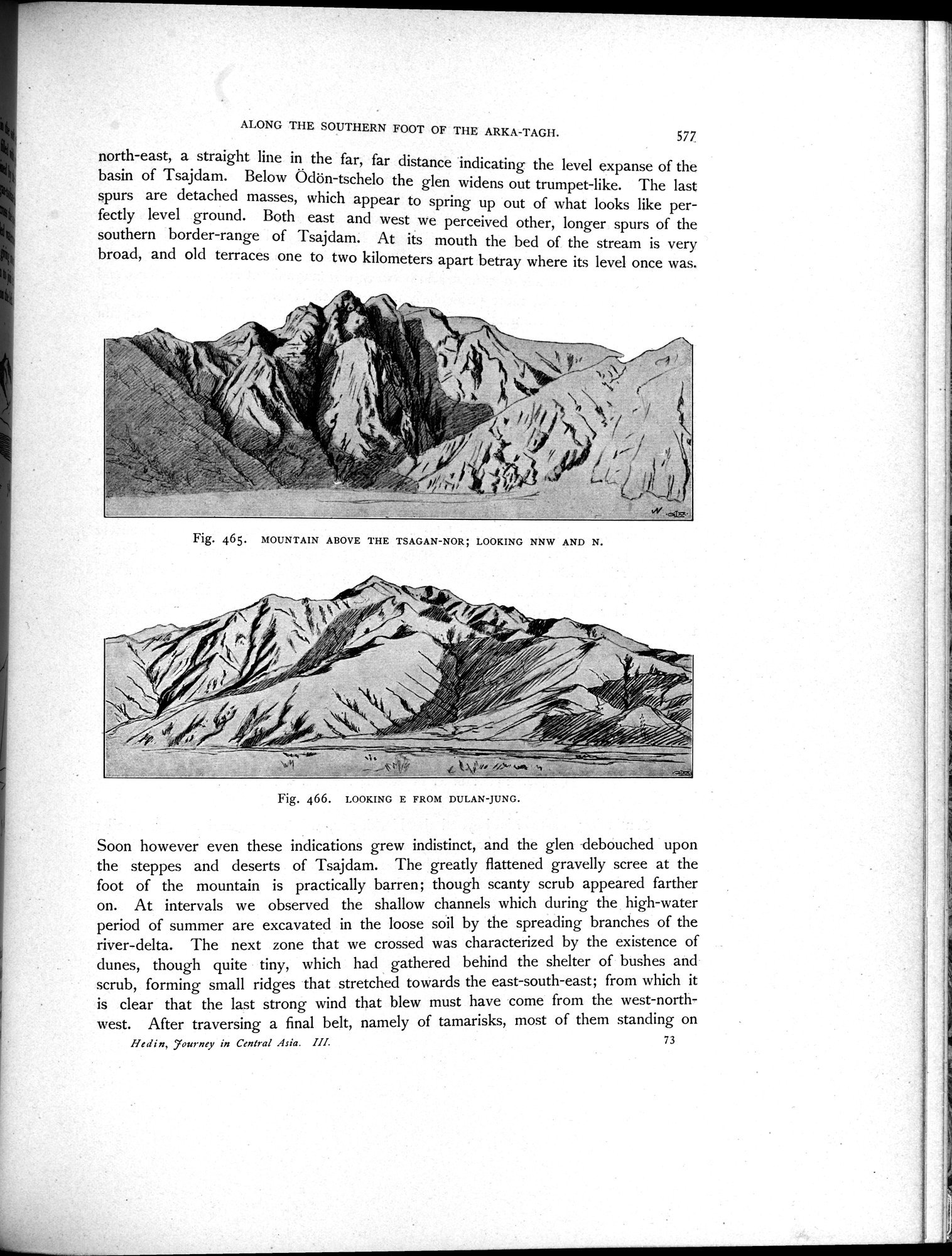
Fig. 465. MOUNTAIN ABOVE THE TSAGAN-NOR; LOOKING NNW AND N.
r
Fig. 466. LOOKING E FROM DULAN-JUNG.
Soon however even these indications grew indistinct, and the glen debouched upon the steppes and deserts of Tsajdam. The greatly flattened gravelly scree at the foot of the mountain is practically barren; though scanty scrub appeared farther on. At intervals we observed the shallow channels which during the high-water period of summer are excavated in the loose soil by the spreading branches of the river-delta. The next zone that we crossed was characterized by the existence of dunes, though quite tiny, which had gathered behind the shelter of bushes and scrub, forming small ridges that stretched towards the east-south-east; from which it is clear that the last strong wind that blew must have come from the west-northwest. After traversing a final belt, namely of tamarisks, most of them standing on
Hedin, 7ournev in Central Asia. III. 73
|
Copyright (C) 2003-2019
National Institute of Informatics(国立情報学研究所)
and
The Toyo Bunko(東洋文庫). All Rights Reserved.
本ウェブサイトに掲載するデジタル文化資源の無断転載は固くお断りいたします。