国立情報学研究所 - ディジタル・シルクロード・プロジェクト
| |||||||||
|
| Scientific Results of a Journey in Central Asia, 1899-1902 : vol.3 | |
| 1899-1902年の中央アジア旅行における科学的成果 : vol.3 |
 |
FROM TOGHRI-SAJ TO TEMIRLIK: ROCK PICTURES. 203
October zoth. After we had forded one of the feeders of Bagh-tokaj, a few minutes' ride sufficed to bring us past the belt of vegetation, though we were then accompanied on the left by the stream from the springs. We kept to the north of the second of the little bosses I have alluded to; it consisted of close-grained, greyish-blue rock, dipping 55° towards the S. 4o° W. In consequence of this disposition, the north-east face is the steeper and the more rugged. Just past this feature the stream from the springs became lost amongst its own sheets of ice, though its dry bed continued some distance farther towards the north-east, the bottom being filled with yellow sediment. A couple of kilometers south of our route there now appeared an almost isolated mountain, or group of dark ridges, half buried in yellow drift-sand, and beyond them we saw the belt of dunes stretching on farther to the east. The surface was now hard, barren saj, with gravel and coarse sand, and had a perceptible slope to-
wards the east-north-east. Here we crossed over several shallow watercourses, with very low terraced banks. These are said to owe their origin to si/-sit, or »overflow water», which sometimes gets past Bagh-tokaj after copious rains; they are reported to run towards Basch-malghun, although the water will certainly hardly ever reach down as far as that. Another large watercourse which we saw at a distance in the north-west, and which oiir route did not cross, is reported to go to Sasik-jar. Again the panorama of the Tschimen-tagh was unrolled before us, disclosing fresh glen-openings and fresh mountain-spurs, and its crest here and there tipped with snow. At length the saj came to an end and the vegetation once more made its appearance. After passing Camp VII* of I oth and I I th July, we continued along the head-stream of Temirlik, which unites some distance farther down with the main stream of the valley. In the loess terraces on its left bank several earth grottoes
* Camp VII is situated 707 m. S. 41° W. from Camp LXXVII.
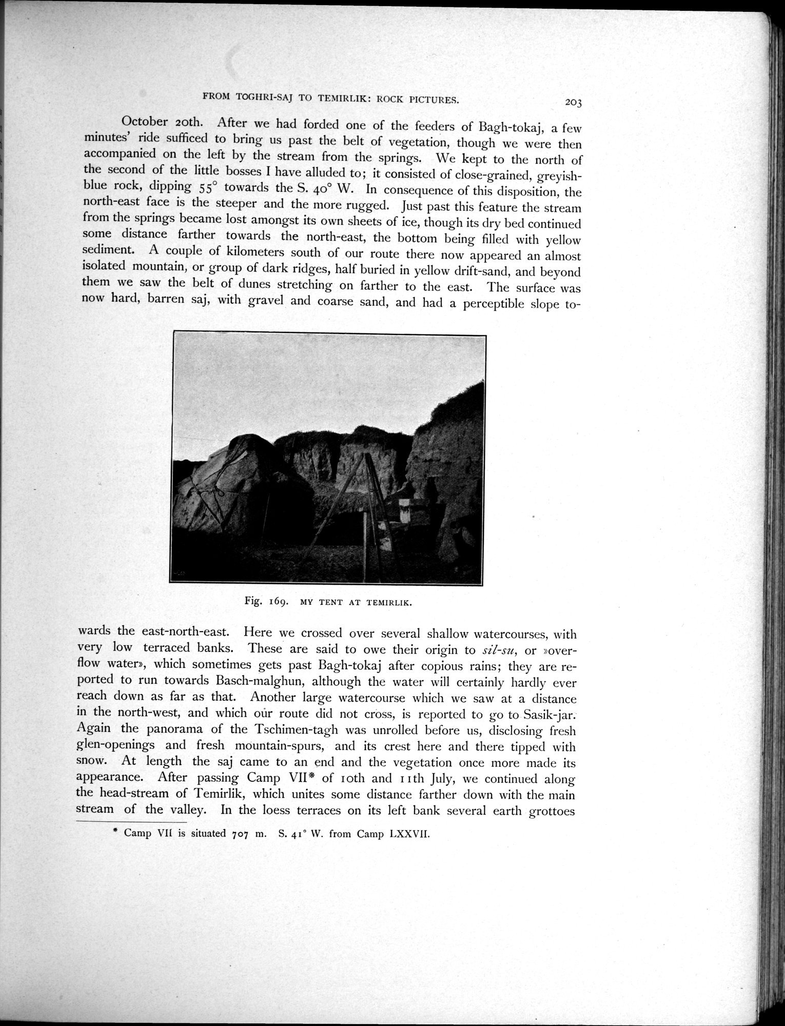
Fig. 169. MY TENT AT TEMIRLIK.
|
Copyright (C) 2003-2019
National Institute of Informatics(国立情報学研究所)
and
The Toyo Bunko(東洋文庫). All Rights Reserved.
本ウェブサイトに掲載するデジタル文化資源の無断転載は固くお断りいたします。