国立情報学研究所 - ディジタル・シルクロード・プロジェクト
| |||||||||
|
| Scientific Results of a Journey in Central Asia, 1899-1902 : vol.3 | |
| 1899-1902年の中央アジア旅行における科学的成果 : vol.3 |
 |
THE GHAS-KÖL AND TO THE DOUBLE GORGE IN THE AKATO-TAGH. 267
more probable that these depressions are caused by springs which gush up out of the ground, and that the salt collects in them after they are formed. At this time the salt marsh was frozen hard and bore everywhere, indeed the surface was often as hard as stone and the salt frozen clay (schor) crackled like burnt ballast under our horses' feet. This sort of surface is however very tiring to march on, espe
cially for the tender-footed camels.
A little south of our route there were large sheets of ice. The schor soon came to an end and
was succeded by hard gravelly saj, excellent for marching on. On the right extended not only a belt of vegetation, but also white expanses of schor. We had gradually been approaching nearer to the southern foot of the Akato-tagh; already its jilghas and deeply trenched glens and ravines were beginning to show more and more distinctly, and even from a distance we • gathered the impression that this peculiar mountain region would be difficult to cross over. Presently we came to Ak-atoning-saj, a number of shallow eroded watercourses, which issue from a large glen with a scree of considerable size that was visible to the N. 32° W. The stream which flows out this glen portal after rain
spreads out, immediately north of our route, into the shallow deltaic arms which I have just mentioned. The bottom of these channels consisted for the most part of hard mud, though in places there were long strips of gravel. Gradually these watercourses assume a more easterly direction. Dry wood of the balghun bushes, which had been washed down from higher regions and got stuck fast in the mud, was plentiful, but live bushes, standing on mounds, grow also between the deltaic arms. The kamisch here also grows upon elongated elevations, with almost vertical sides, though seldom more than I m. high, running parallel with the various deltaic arms, and evidently eaten away at times by their torrents (fig. 201). They appeared to continue for some distance farther down, on the right of our route, and impart
to the surface a ',hummocky» appearance.
From that point we travelled east-south-east across scanty kamisch steppe, furrowed at intervals by occasional watercourses. We made Camp XCIX at Tschigelik-kasch (alt. 2899 m.), where there were several small sheets of ice formed by springs. North of
these rise some low grey hills of clay. This camp was only a few kilometers distant from the Akato-tagh.
On 14th December we made an excursion to the Ghas-köl, situated 22 km. to the south-south-east of Tschigelik-kasch. The statements with regard to the salinity of this lake, which was dis
covered by Prschevalskij, differ greatly. Most of my men declared that it does not freeze at all; others asserted that it freezes when the winter is farther advanced. One of my men added, by way of confirmation of the latter statement, that in the preceding winter he had set a wolf-trap on the lake-shore in order to get wolf-
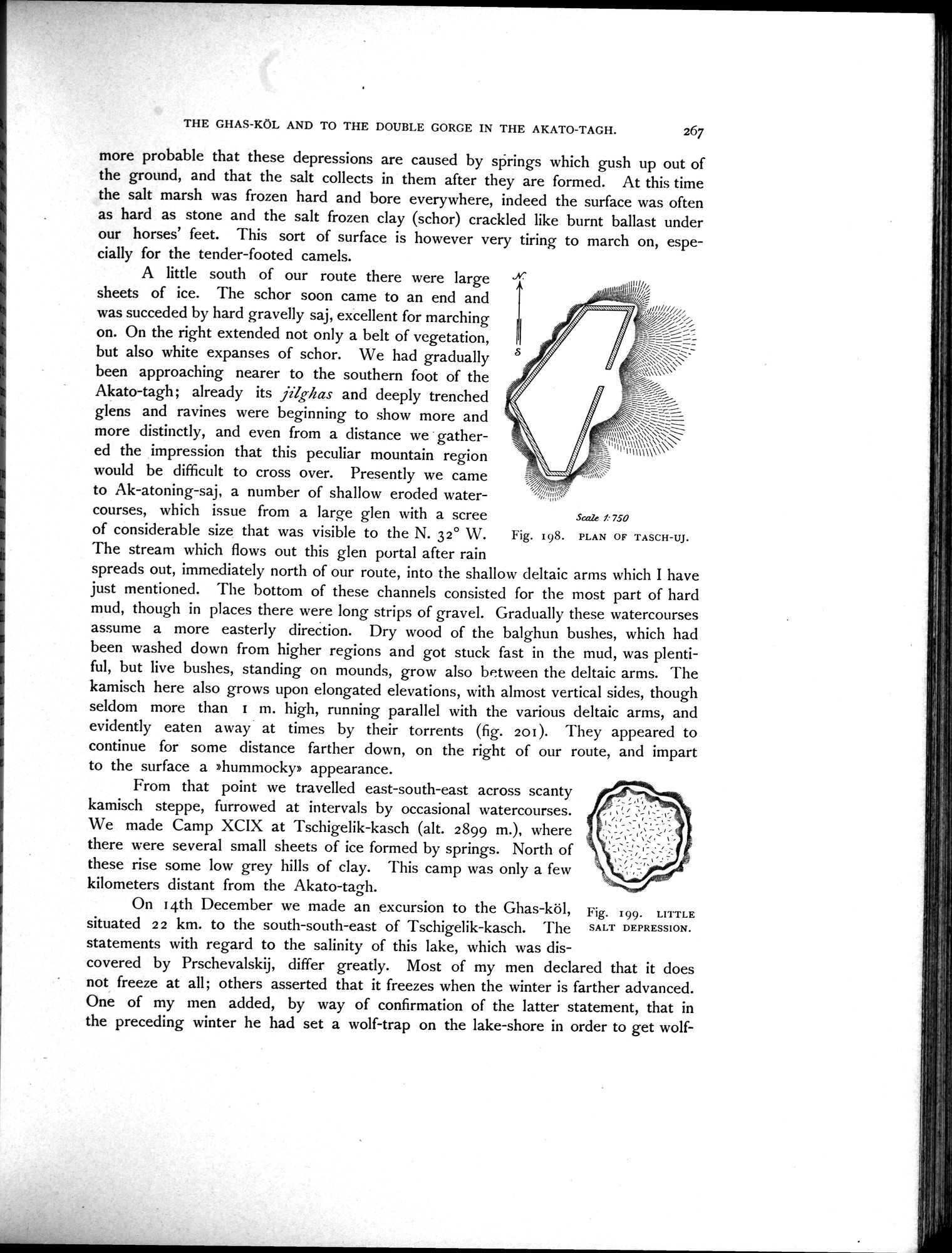
Fig. 198. PLAN OF TASCH-UJ.
Fig. 199. LITTLE SALT DEPRESSION.
~
:
_\
:
~ .....:
Scale f• 750
|
Copyright (C) 2003-2019
National Institute of Informatics(国立情報学研究所)
and
The Toyo Bunko(東洋文庫). All Rights Reserved.
本ウェブサイトに掲載するデジタル文化資源の無断転載は固くお断りいたします。