国立情報学研究所 - ディジタル・シルクロード・プロジェクト
| |||||||||
|
| Scientific Results of a Journey in Central Asia, 1899-1902 : vol.3 | |
| 1899-1902年の中央アジア旅行における科学的成果 : vol.3 |
 |
200 MY FIRST JOURNEY IN NORTH-EASTERN TIBET.
tract the grazing was very good. On the other side of it we once more found ourselves on hard, almost barren saj, with sand and gravel. But all day we had in sight, at a greater or less distance, the belt of vegetation watered by the stream that originates in the springs. It was astonishing to find that the broad river-bottom which we had marched through the day before had now totally disappeared; but the natives explained that, from the point where we left it on our right, it grows smaller and smaller, until finally it becomes quite lost in gravel-beds in the Tschimen valley. At Jusup-alik however the water reappears in the form of springs, which in their turn go to feed the river afresh. Strictly speaking, it is identically the same river, for the ground continues to slope all the time towards the east; its middle portion flows for a time underground.
At Ghaslik we again struck the belt of vegetation, and found there a small elongated freshwater lake, created by springs. From its lower end issues
a rivulet, which will certainly unite with the main stream of the valley. Then we once more had a belt of steppe scrub, growing amongst low, soft sand. The ground now began to rise somewhat, over a hilly swelling, the flat continuation of a northern offshoot from the southern
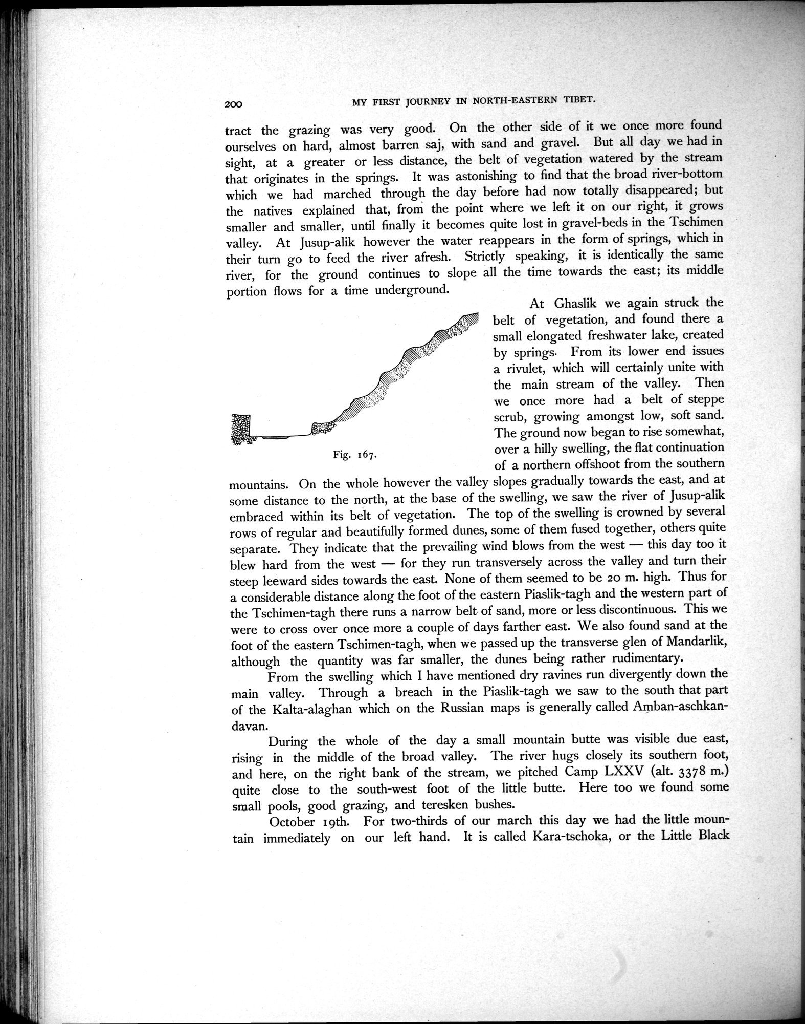
mountains. On the whole however the valley slopes gradually towards the east, and at some distance to the north, at the base of the swelling, we saw the river of Jusup-alik embraced within its belt of vegetation. The top of the swelling is crowned by several rows of regular and beautifully formed dunes, some of them fused together, others quite separate. They indicate that the prevailing wind blows from the west — this day too it blew hard from the west — for they run transversely across the valley and turn their steep leeward sides towards the east. None of them seemed to be 20 m. high. Thus for a considerable distance along the foot of the eastern Piaslik-tagh and the western part of the Tschimen-tagh there runs a narrow belt of sand, more or less discontinuous. This we were to cross over once more a couple of days farther east. We also found sand at the foot of the eastern Tschimen-tagh, when we passed up the transverse glen of Mandarlik, although the quantity was far smaller, the dunes being rather rudimentary.
From the swelling which I have mentioned dry ravines run divergently down the main valley. Through a breach in the Piaslik-tagh we saw to the south that part of the Kalta-alaghan which on the Russian maps is generally called Amban-aschkandavan.
During the whole of the day a small mountain butte was visible due east, rising in the middle of the broad valley. The river hugs closely its southern foot, and here, on the right bank of the stream, we pitched Camp LXXV (alt. 3378 m.) quite close to the south-west foot of the little butte. Here too we found some small pools, good grazing, and teresken bushes.
October 19th. For two-thirds of our march this day we had the little mountain immediately on our left hand. It is called Kara-tschoka, or the Little Black
Fig. 167.
|
Copyright (C) 2003-2019
National Institute of Informatics(国立情報学研究所)
and
The Toyo Bunko(東洋文庫). All Rights Reserved.
本ウェブサイトに掲載するデジタル文化資源の無断転載は固くお断りいたします。