国立情報学研究所 - ディジタル・シルクロード・プロジェクト
| |||||||||
|
| Scientific Results of a Journey in Central Asia, 1899-1902 : vol.3 | |
| 1899-1902年の中央アジア旅行における科学的成果 : vol.3 |
 |
Î {
1~r 56 MY FIRST JOURNEY IN NORTH-EASTERN TIBET.
;Et
most part accumulated on its northern flank, where we found a much greater quantity than on the southern flank. The snow-water and the water from the springs flow down for the most part to the latitudinal valley on the north, the southern slopes of the range being relatively dry. It is true that from Kum-köl several snowy peaks are visible in the west of the range; all the same the quantity is insignificant as compared with that on the north. The snow with which those peaks are capped soon melts in the sun, and is insufficient in quantity to give rise to rivulets capable of reaching down to the southern latitudinal valley. On the south however the circumstances are quite different. The two lakes of Kum-köl fill the lowest part of one of the largest self-contained (internal drainage) basins of the Tibetan highlands. The mountain-ranges which border this basin on the south are much higher than the Kalta-alaghan, and all the rain and snow that they arrest ultimately finds its way down into the Kum-köl lakes. As we shall see subsequently, it is the stream that connects the Upper with the Lower Kum-köl, and the Lower Kum-köl itself, that receive the larger number of these mountain-streams, which gather off the northern slopes of the Arka-tagh or its northern foot-hills; and some of them carry quite considerable volumes of water in the summer. The lower course of one such stream, or perhaps of several such, has been retarded by the drift-sand I have mentioned, which completely hides it from sight. But as for a considerable distance along the northern border of the sand there issue a succession of rivulets and springs, the inference is suggested, that the watercourses which come from the south are spread out like a delta underneath the sand. But however that may be, it is certain, that the water which disappears under the sand at its southern edge reappears in springs at its northern, and the rivulets to which it gives rise in consequence of the retarding action of the sand carry water all the year round, whereas the original stream only carries water during the summer.
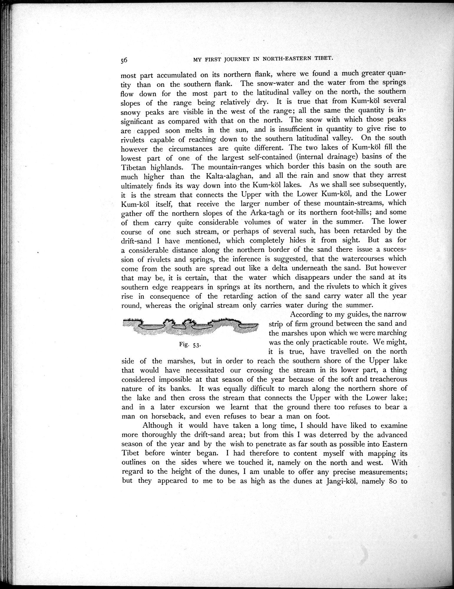
According to my guides, the narrow strip of firm ground between the sand and the marshes upon which we were marching
Fig. 53. was the only practicable route. We might,
it is true, have travelled on the north side of the marshes, but in order to reach the southern shore of the Upper lake that would have necessitated our crossing the stream in its lower part, a thing considered impossible at that season of the year because of the soft and treacherous nature of its banks. It was equally difficult to march along the northern shore of the lake and then cross the stream that connects the Upper with the Lower lake; and in a later excursion we learnt that the ground there too refuses to bear a man on horseback, and even refuses to bear a man on foot.
Although it would have taken a long time, I should have liked to examine more thoroughly the drift-sand area; but from this I was deterred by the advanced season of the year and by the wish to penetrate as far south as possible into Eastern Tibet before winter began. I had therefore to content myself with mapping its outlines on the sides where we touched it, namely on the north and west. With regard to the height of the dunes, I am unable to offer any precise measurements; but they appeared to me to be as high as the dunes at Jangi-köl, namely 8o to
|
Copyright (C) 2003-2019
National Institute of Informatics(国立情報学研究所)
and
The Toyo Bunko(東洋文庫). All Rights Reserved.
本ウェブサイトに掲載するデジタル文化資源の無断転載は固くお断りいたします。