国立情報学研究所 - ディジタル・シルクロード・プロジェクト
| |||||||||
|
| Scientific Results of a Journey in Central Asia, 1899-1902 : vol.3 | |
| 1899-1902年の中央アジア旅行における科学的成果 : vol.3 |
 |
Î'1
66 MY FIRST JOURNEY IN NORTH-EASTERN TIBET.
cal with the river the upper part of which was visited by Carey. Roborovskij gives the same name (e. g. Pitelik-darja) to the river west of this one, a river which he followed for a good portion of its course down to the Kum-köl-darja. It is very probable that he is right, and that my guides were mistaken. Whatever the name of the eastern river, which we now forded, whether the Pitelik-darja, or, as Roborovskij says, the Bulakbaschi, this stream, formed of several others in the way I have described above, is at all events a large river, and evidently drains a large area; moreover, as it swells to a considerable volume after suitable summer weather, it brings down also large quantities of mud. Where we first crossed it, it was running towards the N. 45° W. To judge from the north-east course of its western neighbour, I fancy it soon turns towards the north, perhaps towards the north-north-east, and I have reason to think that it falls into the Kum-köl rather than into the Kum-köl-darja; at any rate the vast quantity of mud off the southern shore of the lake seems to point to that conclusion.
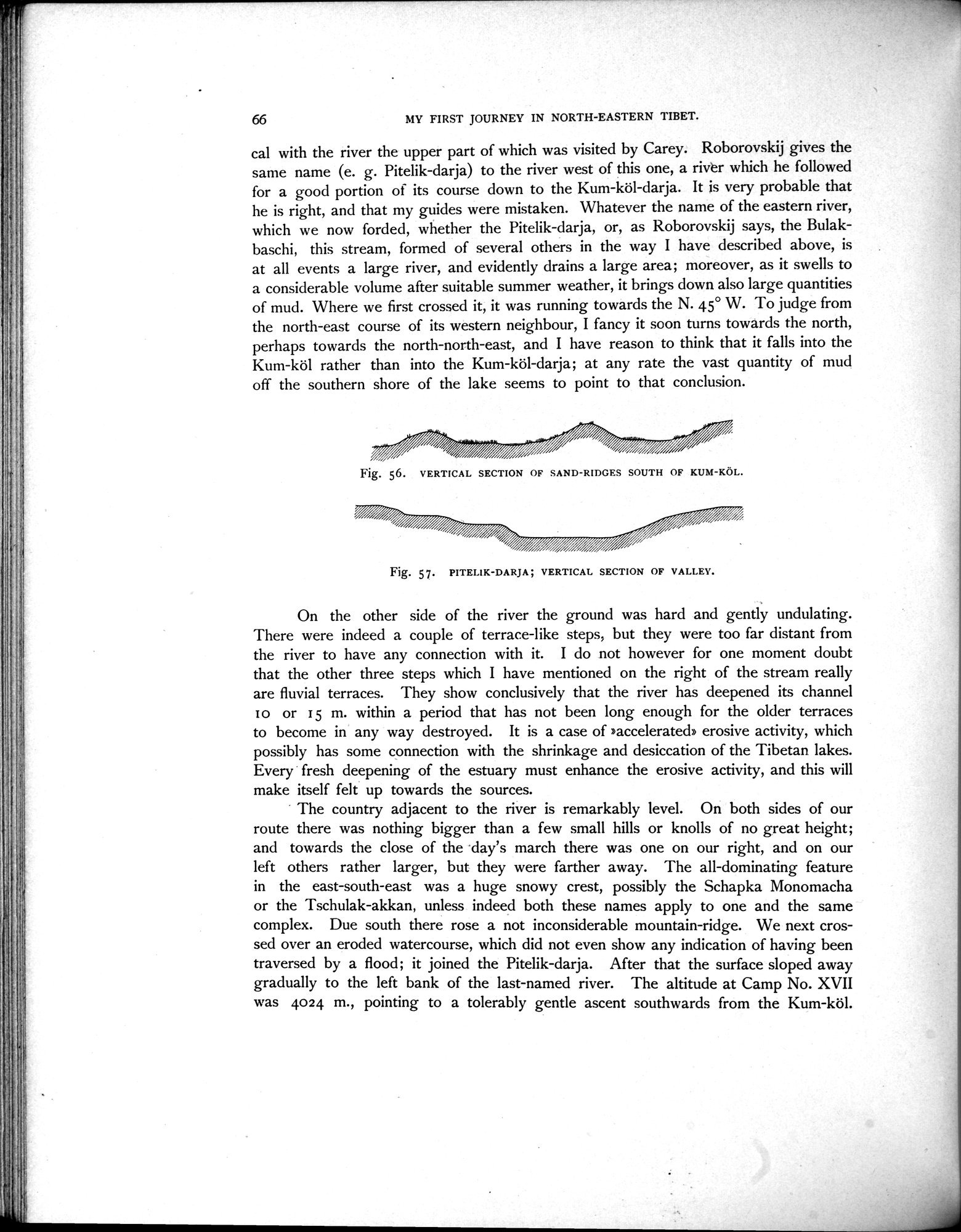
Fig. 56. VERTICAL SECTION OF SAND-RIDGES SOUTH OF KUM-KÜL.
On the other side of the river the ground was hard and gently undulating. There were indeed a couple of terrace-like steps, but they were too far distant from the river to have any connection with it. I do not however for one moment doubt that the other three steps which I have mentioned on the right of the stream really are fluvial terraces. They show conclusively that the river has deepened its channel I o or 15 m. within a period that has not been long enough for the older terraces to become in any way destroyed. It is a case of »accelerated» erosive activity, which possibly has some connection with the shrinkage and desiccation of the Tibetan lakes. Every fresh deepening of the estuary must enhance the erosive activity, and this will make itself felt up towards the sources.
The country adjacent to the river is remarkably level. On both sides of our route there was nothing bigger than a few small hills or knolls of no great height; and towards the close of the day's march there was one on our right, and on our left others rather larger, but they were farther away. The all-dominating feature in the east-south-east was a huge snowy crest, possibly the Schapka Monomacha or the Tschulak-akkan, unless indeed both these names apply to one and the same complex. Due south there rose a not inconsiderable mountain-ridge. We next crossed over an eroded watercourse, which did not even show any indication of having been traversed by a flood; it joined the Pitelik-darja. After that the surface sloped away gradually to the left bank of the last-named river. The altitude at Camp No. XVII was 4024 m., pointing to a tolerably gentle ascent southwards from the Kum-köl.
Fig. 57. PITELIK-DARJA; VERTICAL SECTION OF VALLEY.
|
Copyright (C) 2003-2019
National Institute of Informatics(国立情報学研究所)
and
The Toyo Bunko(東洋文庫). All Rights Reserved.
本ウェブサイトに掲載するデジタル文化資源の無断転載は固くお断りいたします。