国立情報学研究所 - ディジタル・シルクロード・プロジェクト
| |||||||||
|
| Scientific Results of a Journey in Central Asia, 1899-1902 : vol.3 | |
| 1899-1902年の中央アジア旅行における科学的成果 : vol.3 |
 |
302 JOURNEY TO ANAMBARUIN-ULA.
actual drift-sand desert. The country between Carey's route and the route which I followed is unknown; it is an immense region, fully one-half of the area of all Tsajdam. We may assume that this region consists of deserts of schor, drift-sand, and salt in alternate zones, and that it would be dangerous to cross it without carrying water.
The more noteworthy features of a panorama which I sketched from Camp CVII, are as follows — from N. 8o° E. to S. 53° E. stretches an open, flat country between the extreme outliers of the two mountain systems, the Astin-tagh and the Akato-tagh. In the latter direction the Akato-tagh is extremely low, appearing only as a barely noticeable elevation, which died away in ethereal shades. To the N. 54° E. appeared the entrance to a latitudinal valley running in between two of the parallel chains of the Astin-tagh, and it was in that direction we marched the whole of the following day. To the S. i 8° E. we perceived a minor swelling of the Akato-tagh, melting away in the haze of the far off distance. From that point and farther west the Akato is like a continuous ridge, with noticeable swellings in the S. 25° W. and S. 40° W. In the S. 71° W. rose the culminating point of that part of the Akato-tagh which was then nearest to us. In the S. 84° W. we perceived the same part of the range which we had observed from Julghun-dung lying N. 22° W. Yet another ridge of the Akato-tagh was visible to the N. 85° W. All these contiguous crests of the Akato-tagh system appeared, from the point whence we observed them, to run very decidedly from the north-west to the south-east, as we indeed found to be the case with the main range and the minor range lying to the north-east of it. All the mountains that may be regarded as belonging to the Akato system terminate in the N. 78° W., and north of the most northerly offshoot there is an open latitudinal valley connected with the kakir of Usun-schor.
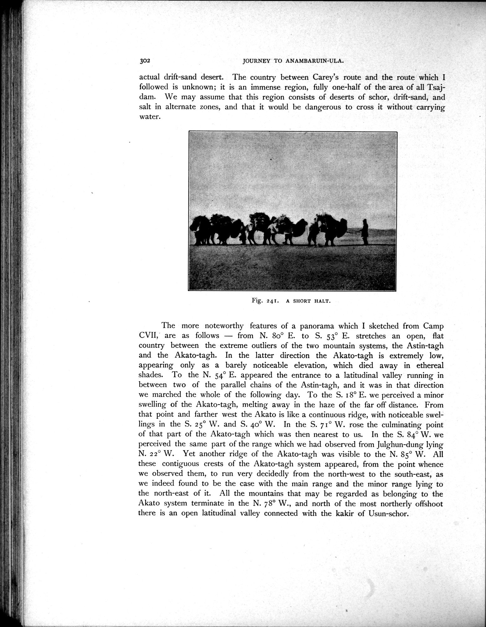
Fig. 241. A SHORT HALT.
|
Copyright (C) 2003-2019
National Institute of Informatics(国立情報学研究所)
and
The Toyo Bunko(東洋文庫). All Rights Reserved.
本ウェブサイトに掲載するデジタル文化資源の無断転載は固くお断りいたします。