国立情報学研究所 - ディジタル・シルクロード・プロジェクト
| |||||||||
|
| Scientific Results of a Journey in Central Asia, 1899-1902 : vol.3 | |
| 1899-1902年の中央アジア旅行における科学的成果 : vol.3 |
 |
244 EXCURSION TO AJAGH-KUM-KÖL.
water. On the right, i. e. to the south, we had, quite close at hand, several minor, dark-coloured spurs; but these gradually came to an end, allowing the flanks of the main mass of the Schia-manglaj to advance to the bottom of the main valley. Below them there are only a few small free-standing bluffs; while on our left, i. e. to the north, but farther away, were several similar ridges and chains of hills, of a red colour. But all such minor elevations ceased before we reached Mandarlik; and the long sweeping lines of the broad kajir valley (fig. 191), with its surprisingly gentle fall and almost straight run, were conspicuous in the east. The surface was furrowed by • only a few dry watercourses, gravelly, shallow, and small, which issued from the nearest mountains on our right. To the east-north-east we saw the Kala-köl and
to the east-south-east the Usun-schor. The Mandarlik-saj, on the left bank of which we pitched Camp XCIV (alt., 3255 m.), is deeply and energetically excavated, though both its depth and its breadth vary greatly (fig. 192). At this camp it was 70 m. broad and 3 m. deep. Here the glen approached from the S. 23° E., but its baschi or head is situated in the S. 41° W., whence the glen describes a curve down to the Kalaköl, that is to the N. 3o° E. A thin layer of drift-sand has formed on the slopes above its left terraced bank, an indication that here too westerly winds prevail. The Mandarlik-saj belongs entirely to the great mass of the Schia-manglaj ; its bottom is choked with granite detritus, but was then perfectly dry, although it would appear to carry a very considerable flood in the summer, and this will no doubt cause the Kala-köl to swell out to a greater extent than it had reached at the time of our visit. The only vegetation on its banks were teresken and köuruk. The Mandarlik-saj constitutes a separate hydrographical system to itself, a self-contained basin with its own terminal lake. This basin is separated by a swelling from the eastward-flowing
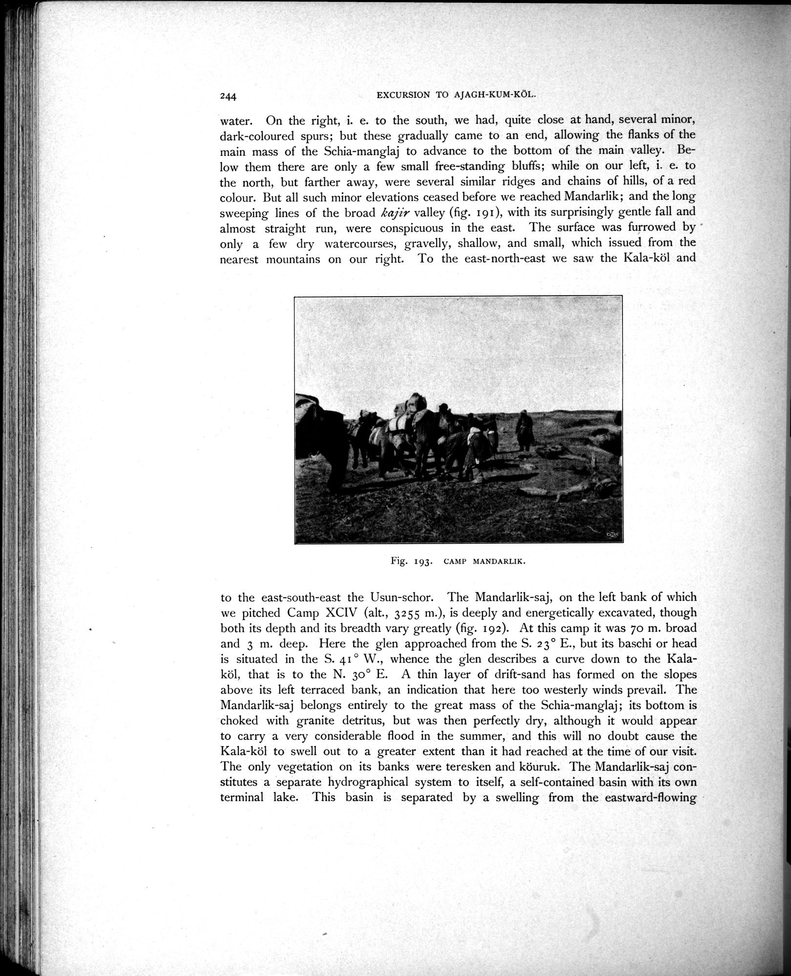
Fig. 193. CAMP MANDARLIK.
|
Copyright (C) 2003-2019
National Institute of Informatics(国立情報学研究所)
and
The Toyo Bunko(東洋文庫). All Rights Reserved.
本ウェブサイトに掲載するデジタル文化資源の無断転載は固くお断りいたします。