国立情報学研究所 - ディジタル・シルクロード・プロジェクト
| |||||||||
|
| Scientific Results of a Journey in Central Asia, 1899-1902 : vol.3 | |
| 1899-1902年の中央アジア旅行における科学的成果 : vol.3 |
 |
304 JOURNEY TO ANAMBARUIN-ULA.
transverse glens of the Astin-tagh. These channels are generally pretty broad, though seldom more than a foot deep ; their margins however are distinctly defined. All of them run towards the south-east or south-south-east and terminate in the large depression already described, which indeed presents an extraordinary resemblance to a desiccated lake. It is also probable that, if the downfall should happen to be especially plentiful in the Astin-tagh, a temporary lake does actually gather there. At all events this depression forms a characteristic feature at the southern foot of the Astin-tagh, constituting a self-contained drainage-basin independent of the great depression of Tsajdam to the south-east, though probably this depression itself is divided into a number of similar separate and independent basins. The deepest points in our depression were those in which the springs gush out, at Camp CVII and on
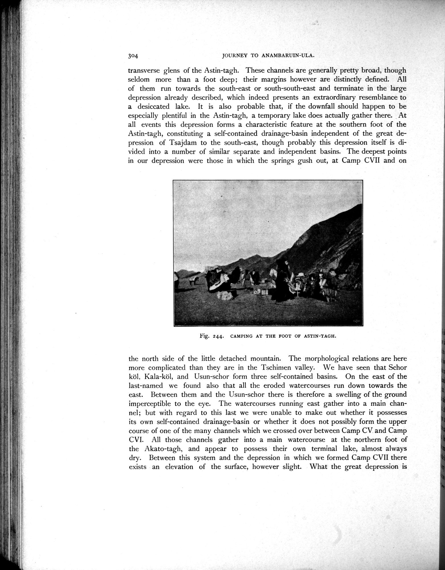
Fig. 244. CAMPING AT THE FOOT OF ASTIN-TAGH.
the north side of the little detached mountain. The morphological relations are here more complicated than they are in the Tschimen valley. We have seen that Schor köl, Kala-köl, and Usun-schor form three self-contained basins. On the east of the last-named we found also that all the eroded watercourses run down towards the east. Between them and the Usun-schor there is therefore a swelling of the ground imperceptible to the eye. The watercourses running east gather into a main channel; but with regard to this last we were unable to make out whether it possesses its own self-contained drainage-basin or whether it does not possibly form the upper course of one of the many channels which we crossed over between Camp CV. and Camp CVI. All those channels gather into a main watercourse at the northern foot of the Akato-tagh, and appear to possess their own terminal lake, almost always dry. Between this system and the depression in which we formed Camp CVII there exists an elevation of the surface, however slight. What the great depression is
|
Copyright (C) 2003-2019
National Institute of Informatics(国立情報学研究所)
and
The Toyo Bunko(東洋文庫). All Rights Reserved.
本ウェブサイトに掲載するデジタル文化資源の無断転載は固くお断りいたします。