国立情報学研究所 - ディジタル・シルクロード・プロジェクト
| |||||||||
|
| Scientific Results of a Journey in Central Asia, 1899-1902 : vol.3 | |
| 1899-1902年の中央アジア旅行における科学的成果 : vol.3 |
 |
1
400
A NEW JOURNEY SOUTHWARDS.
thus cut out a much deeper channel. All the way between Camps III and IV we marched amongst granite of divers kinds. The pass of Jaman-davan is embedded
in grey granite.
On the 22nd May we ascended the glen of Tölkölik for no less than 24 km., and the resultant of my compass-bearings was N. 74° E., whereas the glen of Jamanclavan runs N. 75° E. Hence we may reasonably take it, that these two glens correspond to a latitudinal valley parallel with the long axis of the mountain-ranges. The glen of Tölkölik ascends in a tolerably uniform way, though very gently; is narrow, being squeezed in between its perpendicular craggy walls; is full of gravel and smaller stones; and is traversed by a rippling brook. It is moreover joined by several small transverse glens, though one or two of them are larger and afford more extensive views; but as a rule the summit of the main range on each side is masked by the nearest spurs and buttresses. One of these side-glens, which comes from the south, carried even then a little water. On the whole the glen runs fairly straight in the direction I have indicated, although at the same time it shows a number of small projecting angles where the rocks jut out. The usual vegetation thrives on several little level expansions. The track was mostly indistinct.
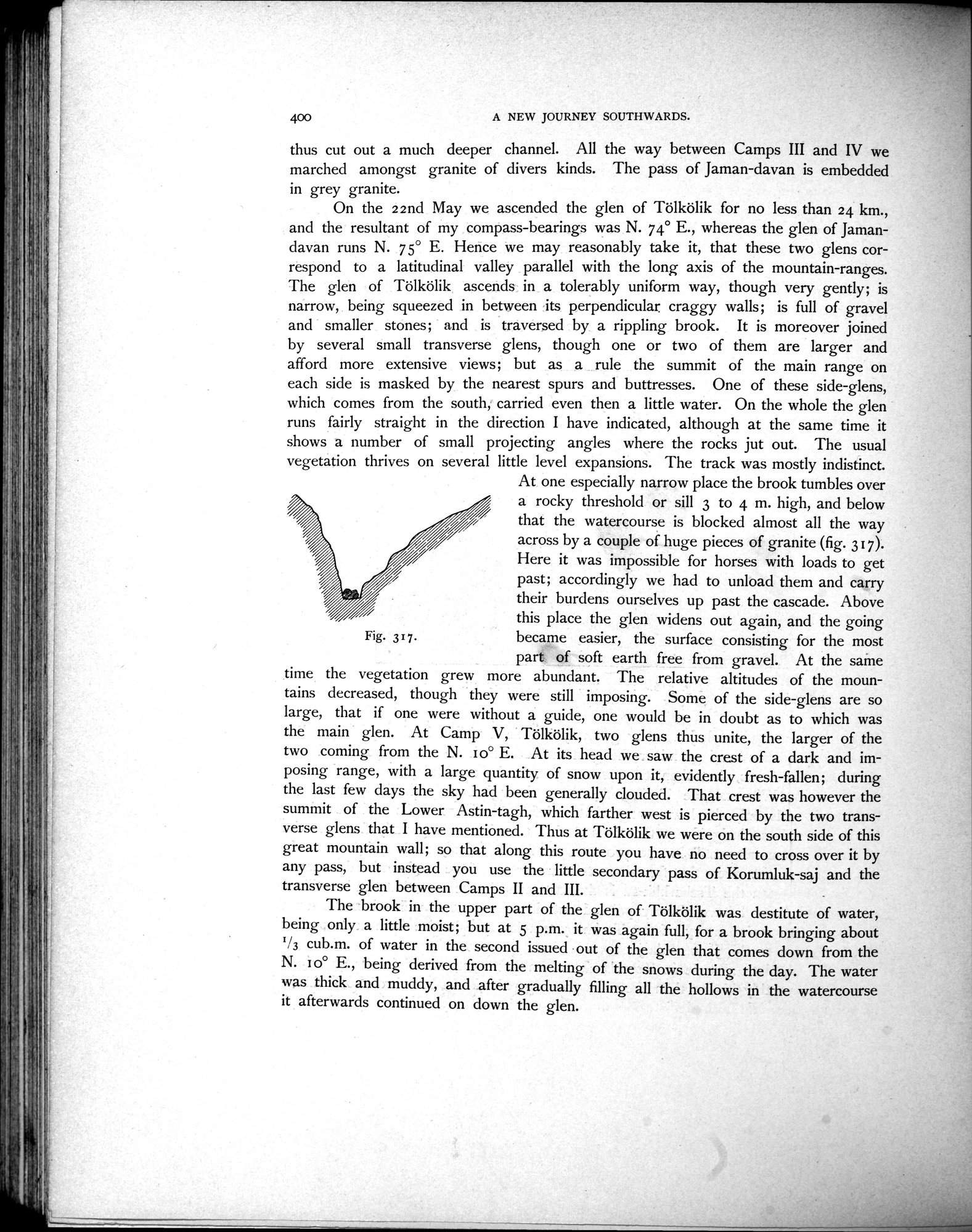
At one especially narrow place the brook tumbles over a rocky threshold or sill 3 to 4 m. high, and below that the watercourse is blocked almost all the way across by a couple of huge pieces of granite (fig. 317). Here it was impossible for horses with loads to get past; accordingly we had to unload them and carry their burdens ourselves up past the cascade. Above
this place the glen widens out again, and the going
Fig. 317. became easier, the surface consisting for the most
part of soft earth free from gravel. At the same
time the vegetation grew more abundant. The relative altitudes of the mountains decreased, though they were still imposing. Some of the side-glens are so large, that if one were without a guide, one would be in doubt as to which was the main glen. At Camp V, Tölkölik, two glens thus unite, the larger of the two coming from the N. 1 o° E. At its head we saw the crest of a dark and imposing range, with a large quantity of snow upon it, evidently fresh-fallen; during the last few days the sky had been generally clouded. That crest was however the summit of the Lower Astin-tagh, which farther west is pierced by the two transverse glens that I have mentioned. Thus at Tölkölik we were on the south side of this great mountain wall; so that along this route you have no need to cross over it by any pass, but instead you use the little secondary pass of Korumluk-saj and the transverse glen between Camps II and III.
The brook in the upper part of the glen of Tölkölik was destitute of water, being only a little moist; but at 5 p.m. it was again full, for a brook bringing about 1/3 cub.m. of water in the second issued out of the glen that comes down from the N. i o° E., being derived from the melting of the snows during the day. The water was thick and muddy, and after gradually filling all the hollows in the watercourse it afterwards continued on down the glen.
|
Copyright (C) 2003-2019
National Institute of Informatics(国立情報学研究所)
and
The Toyo Bunko(東洋文庫). All Rights Reserved.
本ウェブサイトに掲載するデジタル文化資源の無断転載は固くお断りいたします。