国立情報学研究所 - ディジタル・シルクロード・プロジェクト
| |||||||||
|
| Scientific Results of a Journey in Central Asia, 1899-1902 : vol.3 | |
| 1899-1902年の中央アジア旅行における科学的成果 : vol.3 |
 |
340 JOURNEY TO ANAMBARUIN-ULA.
that no water ever gets down to these level lowlands, but is absorbed by the ground before it can reach them. Just as sharp as the boundary-line between the belt of steppe scrub and the barren saj was also the boundary-line between the last-named and the kamisch steppe, where we at length found plentiful grazing.
January 7th. By making this side-excursion to Särtäng I had departed entirely from the predetermined lines of my programme. I had not the smallest intention of investigating the geography of this basin; my real ultimate object was partly to explore the ruins of Lôu-lan and partly to carry out the levelling of the Desert of Lop which I have already described. What led me to extend my journey as far as Särtäng was partly the desire to buy camels from the Mongols, though in this we were not successful because of the excessive prices asked, and partly to purchase corn and other provisions for our own camels, an object in which we were quite successful. Consequently I only remained three days in Särtäng, chiefly with the view of resting the caravan. I am unable to make any noteworthy contribution to the geography of this region over and above what Prschevalskij and Carey have given us; the latter crossed over the basin from south to north, and in 1893-95 Roborovskij crossed it by several routes.
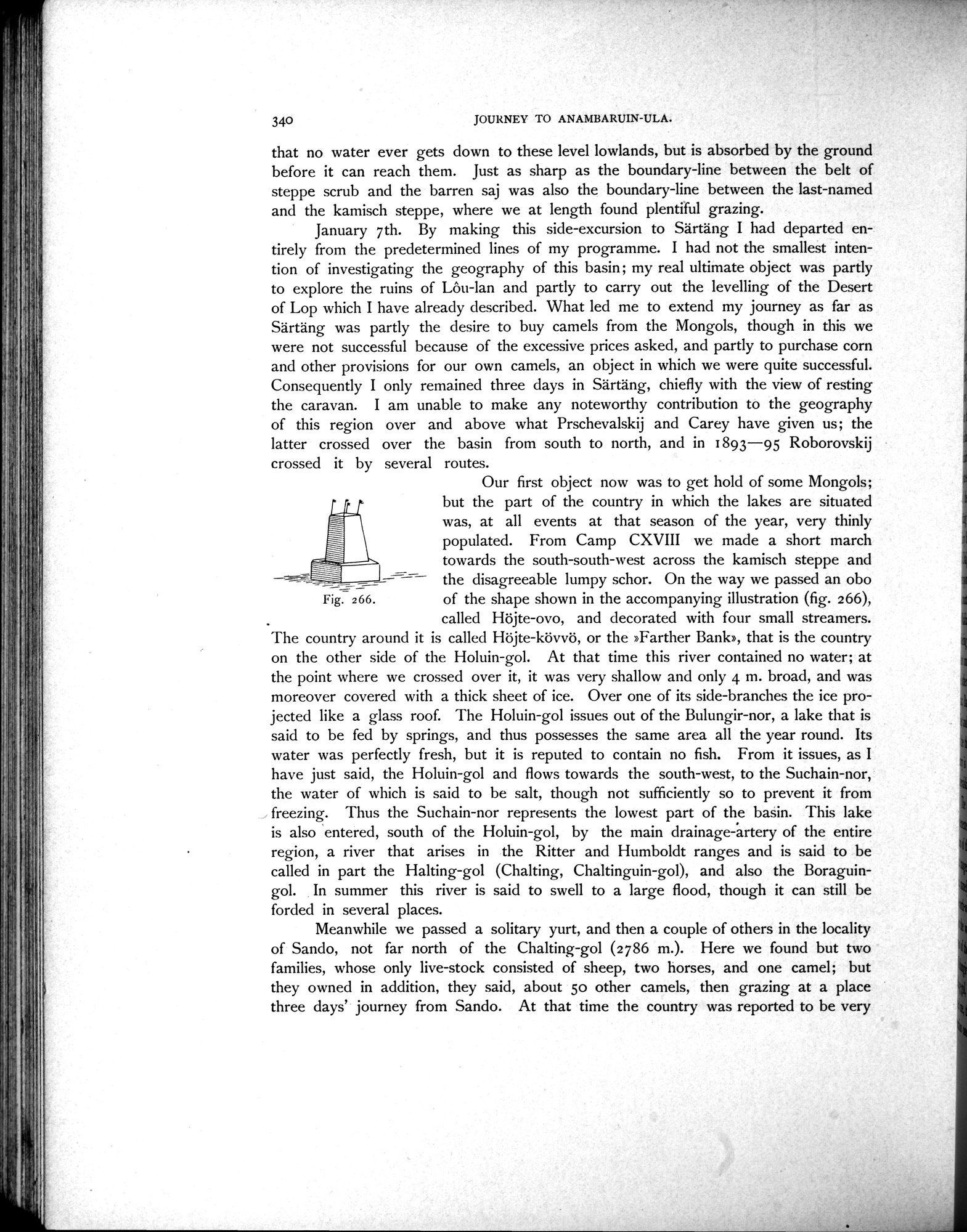
Our first object now was to get hold of some Mongols; but the part of the country in which the lakes are situated was, at all events at that season of the year, very thinly populated. From Camp CXVIII we made a short march towards the south-south-west across the kamisch steppe and
the disagreeable lumpy schor. On the way we passed an obo
Fig. 266. of the shape shown in the accompanying illustration (fig. 266),
called Höjte-ovo, and decorated with four small streamers. The country around it is called Höjte-kövvö, or the »Farther Bank», that is the country on the other side of the Holuin-gol. At that time this river contained no water; at the point where we crossed over it, it was very shallow and only 4 m. broad, and was moreover covered with a thick sheet of ice. Over one of its side-branches the ice projected like a glass roof. The Holuin-gol issues out of the Bulungir-nor, a lake that is said to be fed by springs, and thus possesses the same area all the year round. Its water was perfectly fresh, but it is reputed to contain no fish. From it issues, as I have just said, the Holuin-gol and flows towards the south-west, to the Suchain-nor, the water of which is said to be salt, though not sufficiently so to prevent it from freezing. Thus the Suchain-nor represents the lowest part of the basin. This lake is also entered, south of the Holuin-gol, by the main drainage-artery of the entire region, a river that arises in the Ritter and Humboldt ranges and is said to be called in part the Halting-gol (Chalting, Chaltinguin-gol), and also the Boraguingol. In summer this river is said to swell to a large flood, though it can still be forded in several places.
Meanwhile we passed a solitary yurt, and then a couple of others in the locality of Sando, not far north of the Chalting-gol (2786 m.). Here we found but two families, whose only live-stock consisted of sheep, two horses, and one camel; but they owned in addition, they said, about 5o other camels, then grazing at a place three days' journey from Sando. At that time the country was reported to be very
|
Copyright (C) 2003-2019
National Institute of Informatics(国立情報学研究所)
and
The Toyo Bunko(東洋文庫). All Rights Reserved.
本ウェブサイトに掲載するデジタル文化資源の無断転載は固くお断りいたします。