国立情報学研究所 - ディジタル・シルクロード・プロジェクト
| |||||||||
|
| Scientific Results of a Journey in Central Asia, 1899-1902 : vol.3 | |
| 1899-1902年の中央アジア旅行における科学的成果 : vol.3 |
 |
72 MY FIRST JOURNEY IN NORTH-EASTERN TIBET.
Topographical Department of the Russian General Staff, to which I have already alluded, Major-General Bolscheff has quite rightly accepted Roborovskij's results, excepting however the mysterious Tumenlik-tagh, a name which has somehow got totally astray, for we find it under the guise of Dschinri (Tokta-pärä). * But there is no snowy peak shown to the north-west of Schapka Monomacha.**
If on Roborovskij's map I prick off the three days' journey from the environs of the Kum-köl in the directions I have indicated above, I cross not only the three problematical streams forming the Bulak-baschi, but also two mountain-ranges, namely Tumenlik-tagh, in which the peak of the same name is supposed to be situated, and the Kuruk-petelik-tagh, as also the crests on the northern flank of a third range, the Su-petelik-tagh. All these three ranges run, according to Roborovskij, west and west-north-west from the Schapka Monomacha. In all this the agreement with the actual state of things is but slight. In point of fact along the stretch of country indicated only one range is crossed • over, and that does not start from any knot in the Arka-tagh, for this range lies • a long way to the south of it. The fan-like radiation of the mountain-ranges is altogether a mistake; the sole predominant formation is that of parallel systems separated by broad latitudinal valleys. The principal crest of the Prschevalskij Chain however is, both in the Russian maps I have quoted and in the English map of »Tibet and the Surrounding Regions», placed too far north; but in Stieler's Hand atlas, which has followed Hassenstein's redaction of my former field-maps, it occupies its proper position. Pjevtsoff was the first to be told the correct name of the range, but he wrote it Akka-tagh instead of Arka-tagh, a name
* It ought to be Takta-pärä, i. e. the Throne of the Spirits(?)
** The map was published in 1899, or seven years after Roborovskij's map.
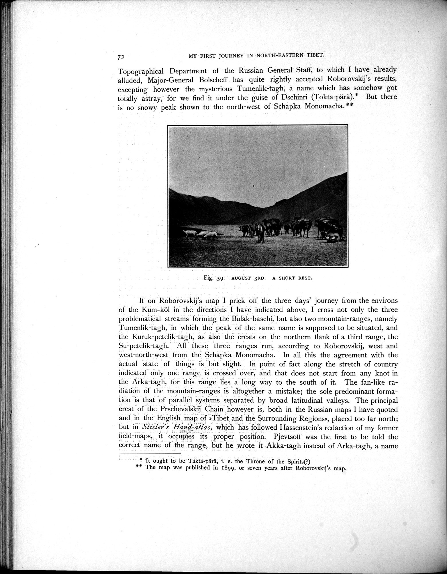
Fig. 59. AUGUST 3RD. A SHORT REST.
|
Copyright (C) 2003-2019
National Institute of Informatics(国立情報学研究所)
and
The Toyo Bunko(東洋文庫). All Rights Reserved.
本ウェブサイトに掲載するデジタル文化資源の無断転載は固くお断りいたします。