国立情報学研究所 - ディジタル・シルクロード・プロジェクト
| |||||||||
|
| Scientific Results of a Journey in Central Asia, 1899-1902 : vol.3 | |
| 1899-1902年の中央アジア旅行における科学的成果 : vol.3 |
 |
AN ANCIENT HIGHWAY - TIIE NORTIH-WESTERN TSAJDAM BASIN. 295
people who formerly used this road may have had no knowledge of the existence of our spring, but may have been aware of some other spring not far away, which the road would in that case consequently touch.
The ice-sheets came to an end about 150 m. from the actual spring, and half a kilometer beyond that the vegetation finally died away. After that the glen runs to the east-south-east, and the barren and desolate watercourse grows broader and broader, while its marginal terraces, which were 8 to i o m. high at the last camp, gradually decrease in height. A little way below the camp our glen was joined on the right by a side-glen coming from the west, which in point of dimensions is fully as big as the glen we were following. At the first opportunity we climbed up out of the watercourse, for it was carrying us too far out of our proper course, and then travelled along its left-hand terrace. From that point the glen appeared to run at first towards the S. 70° E., but in the distance it seemed from its windings to incline more and more to the south-east, and still farther away, in the S. 26° E., we perceived extensive deposits of yellow alluvium; the water of the system probably forming, after rain, flat, shallow lakes, which, after depositing there the silt brought down from above, disappear again at the end of a few days. There is no risk in assuming that this principal watercourse, which hugs so closely the north-eastern foot of the Akato-tagh, gathers up all the numerous small drainage brooks we saw, for instance the one that pierces the minor parallel range by the transverse glen, that which proceeds south-east out of the eastern half of the first small latitudinal valley, and finally that which traverses the gorge in which we were forced to turn back, and that the upper part of which we touched between the two passes; though in addition to these there are also a number of others. Since now these silt deposits, the »terminal lake» of this great drainage system, lies north-east of the Akato-tagh and undoubtedly close to its extreme end, we may safely say that this part of the Akato-tagh falls away towards the north-west of Tsajdam, while the southern slope belongs to the Ghas-köl.
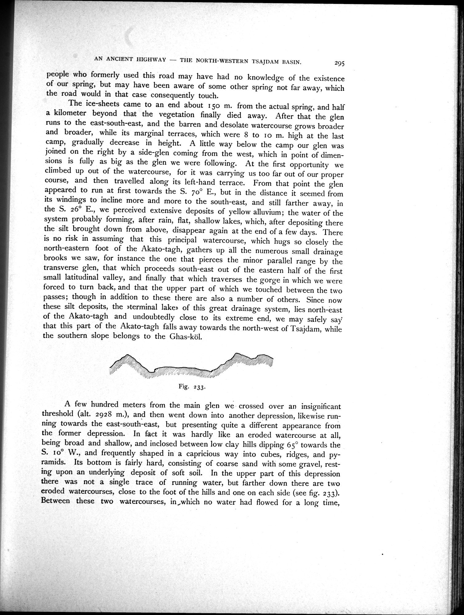
A few hundred meters from the main glen we • crossed over an insignificant threshold (alt. 2928 m.), and then went down into another depression, likewise running towards the east-south-east, but presenting quite a different appearance from the former depression. In fact it was hardly like an eroded watercourse at all, being broad and shallow, and inclosed between low clay hills dipping 65° towards the S. 10° W., and frequently shaped in a capricious way into cubes, ridges, and pyramids. Its bottom is fairly hard, consisting of coarse sand with some gravel, resting upon an underlying deposit of soft soil. In the upper part of this depression there was not a single trace of running water, but farther down there are two eroded watercourses, close to the foot of the hills and one on each side (see fig. 2J3). Between these two watercourses, in,which no water had flowed for a long time,
Fig. 233.
|
Copyright (C) 2003-2019
National Institute of Informatics(国立情報学研究所)
and
The Toyo Bunko(東洋文庫). All Rights Reserved.
本ウェブサイトに掲載するデジタル文化資源の無断転載は固くお断りいたします。