国立情報学研究所 - ディジタル・シルクロード・プロジェクト
| |||||||||
|
| Scientific Results of a Journey in Central Asia, 1899-1902 : vol.3 | |
| 1899-1902年の中央アジア旅行における科学的成果 : vol.3 |
 |
A ~I
1
568 MY JOURNEY ALONG TIIE ARKA-TAGII IN 1896.
steep, deep transverse glens leading up to it. East stretched to an infinite distance a gently undulating elevated plain, in fact it was the broadest open expanse I had seen in this part of Tibet. At length we perceived the eastern end of the lake, likewise pointed, and beyond that two smaller lakes, Nos. XXI and XXII, all three separated from one another by swellings of the latitudinal valley so flat as to be almost imperceptible to the eye. It was to this point that Carey and Dalgleish penetrated from the north in their memorable journey. After skirting the western and southern shores of lake No. XXI, they turned towards the east, and followed the northern shore of yet another lake, which however I was unable to see owing to our route being at too great a distance from it. That lake is the last in our great latitudinal valley, and appears to be separated by only a very narrow divide from the regions on the east that send their waters down to the sea. For the brooks which, after that, stream down the southern slopes of the Arka-tagh make their way into the river which Rockhill calls the Namchutu-ulan-muren, though Wellby's name for it is Tschumar (see vol. IV). In Wellby's latitudinal valley this river stretches its tentacles a good deal farther west than in my valley. Thus the swelling of the earth's surface which forms the boundary between the central self-contained basins of Tibet and the rivers which discharge into the oceans on the east and south-east of the continent — the divide of which I have spoken above in connection with the Satschu-tsangpo — forms here in this its northernmost extremity (if indeed it does on the whole run meridionally) an extremely irregular line, with deep curves and elbows to both east and west.
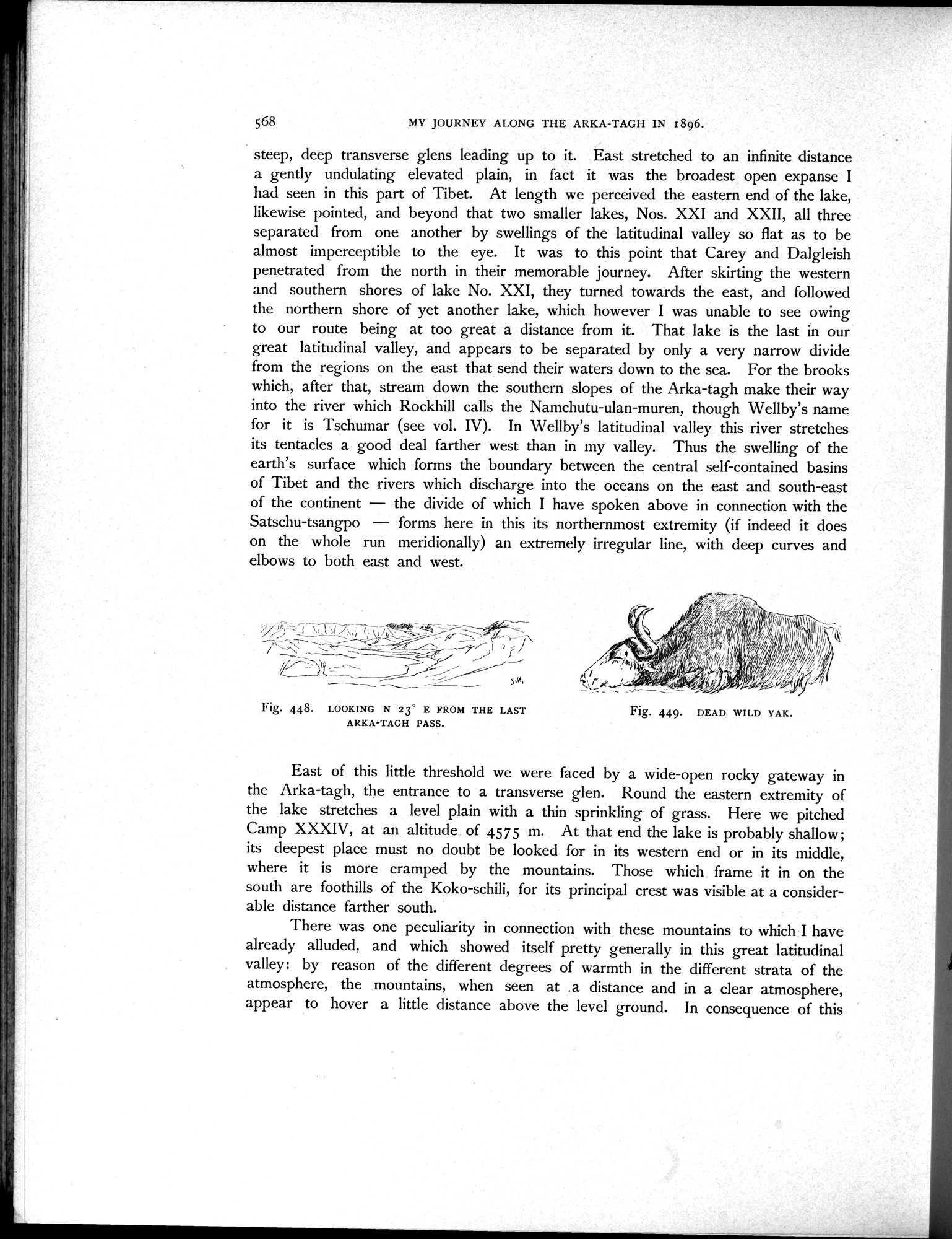
Fig. 448. LOOKING N 23' E FROM THE LAST ARKA-TAGH PASS.
Fig. 449. DEAD WILD YAK.
East of this little threshold we were faced by a wide-open rocky gateway in the Arka-tagh, the entrance to a transverse glen. Round the eastern extremity of the lake stretches a level plain with a thin sprinkling of grass. Here we pitched Camp XXXIV, at an altitude of 4575 m. At that end the lake is probably shallow; its deepest place must no doubt be looked for in its western end or in its middle, where it is more cramped by the mountains. Those which frame it in on the south are foothills of the Koko-schili, for its principal crest was visible at a considerable distance farther south.
There was one peculiarity in connection with these mountains to which I have already alluded, and which showed itself pretty generally in this great latitudinal valley: by reason of the different degrees of warmth in the different strata of the atmosphere, the mountains, when seen at .a distance and in a clear atmosphere, appear to hover a little distance above the level ground. In consequence of this
|
Copyright (C) 2003-2019
National Institute of Informatics(国立情報学研究所)
and
The Toyo Bunko(東洋文庫). All Rights Reserved.
本ウェブサイトに掲載するデジタル文化資源の無断転載は固くお断りいたします。