国立情報学研究所 - ディジタル・シルクロード・プロジェクト
| |||||||||
|
| Scientific Results of a Journey in Central Asia, 1899-1902 : vol.3 | |
| 1899-1902年の中央アジア旅行における科学的成果 : vol.3 |
 |
OVER THE ARKA-TAGH FROM KAPA. 533
the Kara-muran, which has on its eastern side an inextricable chaos of great mountain-masses.
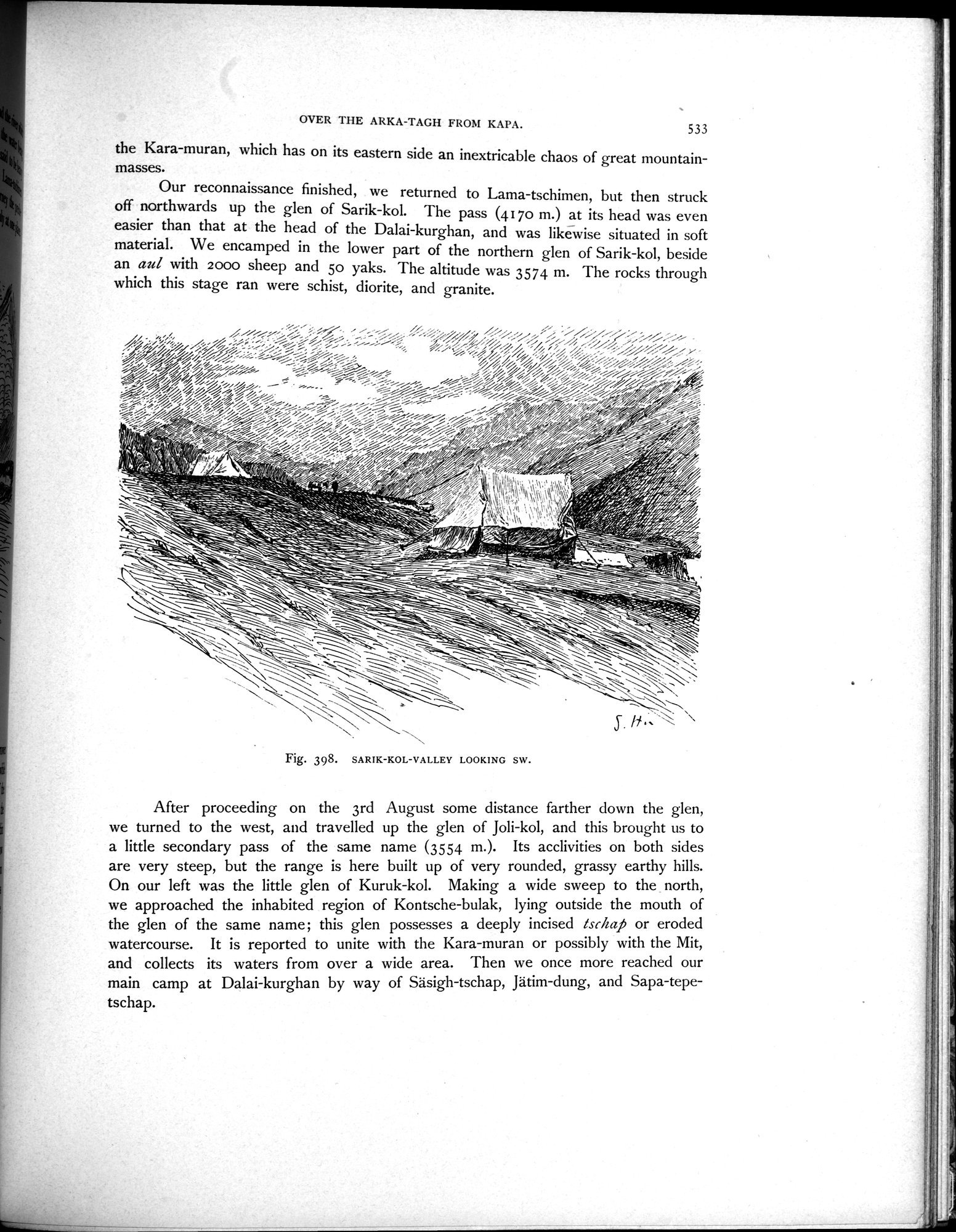
Our reconnaissance finished, we returned to Lama-tschimen, but then struck off northwards up the glen of Sarik-kol. The pass (4170 m.) at its head was even
easier than that at the head of the Dalai-kurghan, and was likewise situated in soft material. We encamped in the lower part of the northern glen of Sarik-kol, beside
an aul with 2000 sheep and 5o yaks. The altitude was 3574 m. The rocks through which this stage ran were schist, diorite, and granite.
Fig. 398. SARIK-KOL-VALLEY LOOKING SW.
After proceeding on the 3rd August some distance farther down the glen, we turned to the west, and travelled up the glen of Joli-kol, and this brought us to a little secondary pass of the same name (3554 m.). Its acclivities on both sides are very steep, but the range is here built up of very rounded, grassy earthy hills. On our left was the little glen of Kuruk-kol. Making a wide sweep to the north, we approached the inhabited region of Kontsche-bulak, lying outside the mouth of the glen of the same name; this glen possesses a deeply incised fschaj5 or eroded watercourse. It is reported to unite with the Kara-muran or possibly with the Mit, and collects its waters from over a wide area. Then we once more reached our main camp at Dalai-kurghan by way of Säsigh-tschap, Jätim-dung, and Sapa-tepetschap.
|
Copyright (C) 2003-2019
National Institute of Informatics(国立情報学研究所)
and
The Toyo Bunko(東洋文庫). All Rights Reserved.
本ウェブサイトに掲載するデジタル文化資源の無断転載は固くお断りいたします。