国立情報学研究所 - ディジタル・シルクロード・プロジェクト
| |||||||||
|
| Scientific Results of a Journey in Central Asia, 1899-1902 : vol.3 | |
| 1899-1902年の中央アジア旅行における科学的成果 : vol.3 |
 |
OVER THE ASTIN-TAGH. 2I
Of course I was only able to note the nearer orographical features of the mountain-ranges; to have traced out their connections and the directions in which they run would have demanded several crossings. Such particulars as I did ascertain are represented in the accompanying little sketch (fig. 6), namely the different zones that intervene between the Kara-koschun and the foot of the mountains, as well as the east and west extensions of the lowest ranges. This orientation was indeed evident from the glen of Tatlik-bulak, which slopes down westwards between two east-west crests of the system of the Lower Astin-tagh. It is perfectly obvious that the orographical structure of the border-ranges of the Tibetan highlands must be more complicated than it is on the flat, level plateau farther south.
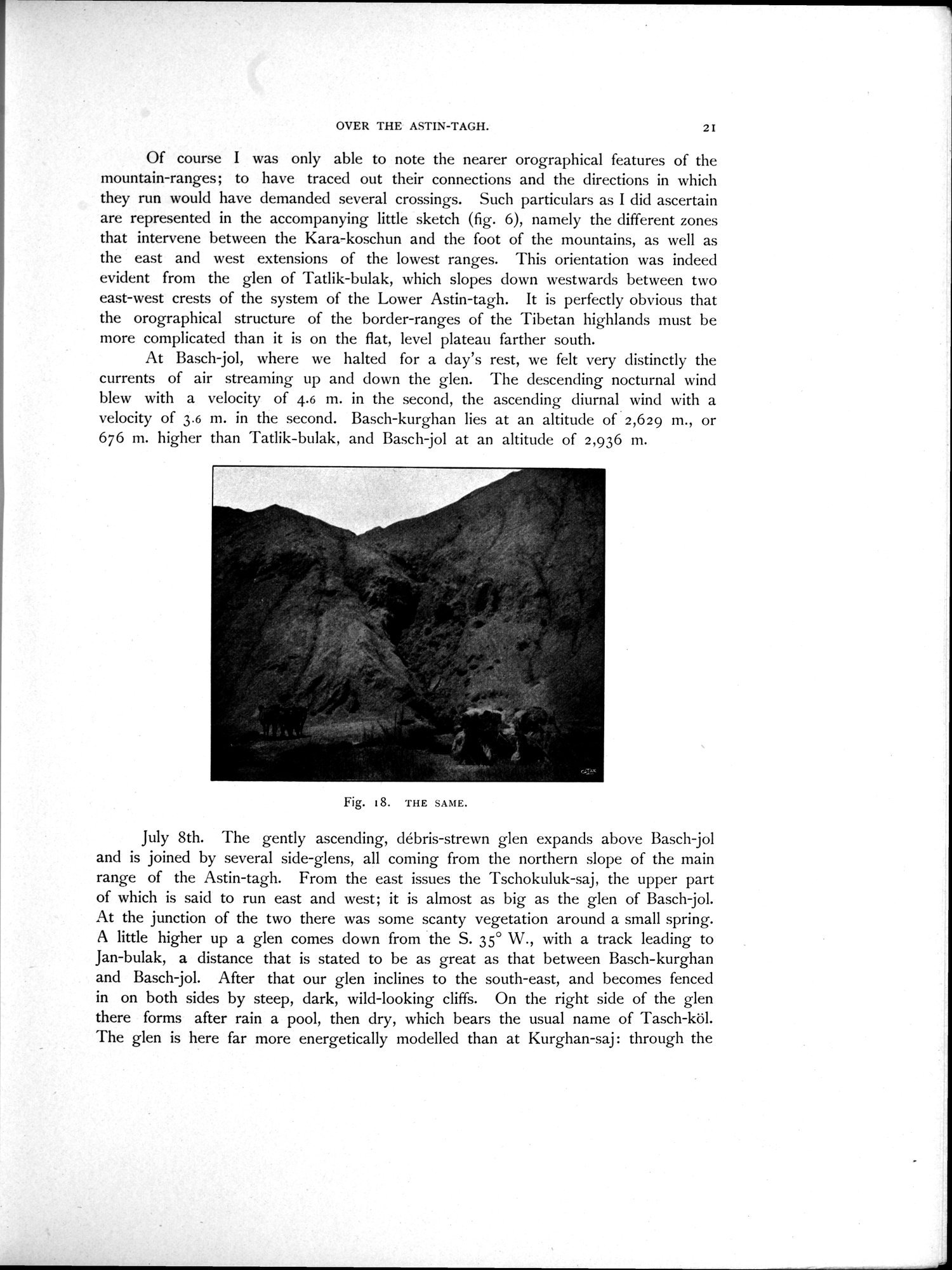
At Basch-jol, where we halted for a day's rest, we felt very distinctly the currents of air streaming up and down the glen. The descending nocturnal wind blew with a velocity of 4.6 m. in the second, the ascending diurnal wind with a velocity of 3.6 m. in the second. Basch-kurghan lies at an altitude of 2,629 m., or 676 m. higher than Tatlik-bulak, and Basch-jol at an altitude of 2,936 m.
July 8th. The gently ascending, débris-strewn glen expands above Basch-jol and is joined by several side-glens, all coming from the northern slope of the main range of the Astin-tagh. From the east issues the Tschokuluk-saj, the upper part of which is said to run east and west; it is almost as big as the glen of Basch-jol. At the junction of the two there was some scanty vegetation around a small spring. A little higher up a glen comes down from the S. 35° W., with a track leading to Jan-bulak, a distance that is stated to be as great as that between Basch-kurghan and Basch-jol. After that our glen inclines to the south-east, and becomes fenced in on both sides by steep, dark, wild-looking cliffs. On the right side of the glen there forms after rain a pool, then dry, which bears the usual name of Tasch-köl. The glen is here far more energetically modelled than at Kurghan-saj : through the
Fig. 18. THE SAME.
|
Copyright (C) 2003-2019
National Institute of Informatics(国立情報学研究所)
and
The Toyo Bunko(東洋文庫). All Rights Reserved.
本ウェブサイトに掲載するデジタル文化資源の無断転載は固くお断りいたします。