国立情報学研究所 - ディジタル・シルクロード・プロジェクト
| |||||||||
|
| Scientific Results of a Journey in Central Asia, 1899-1902 : vol.3 | |
| 1899-1902年の中央アジア旅行における科学的成果 : vol.3 |
 |
OVER THE ARA-TAGH AND THE KALTA-ALAGHAN.
55
and the finest particles which they formerly contained were long ago washed out of them. Once they have emerged, these brooks flow along rather shallow beds, the bottom of which consists of hard clay, and are fringed by short but luxuriant grass. Generally at first they incline for a short distance to the north-east before definitively assuming their west-north-west direction, soon after which they as a rule empty themselves into a larger or smaller pool, though the biggest of these is only a couple of hundred meters long. A considerable distance farther west however a main artery appears on the southern side of the latitudinal valley and, after gathering up all this spring water, enters the lake by numerous deltaic arms, in this way securing a constant flow into it. During the last part of our day's march this main artery was however joined by no tributaries, although there were at the same time several unconnected pools of spring water between the stream and the northern edge of the sand.
The marshes and pools are surrounded by short, luxuriant grass, growing upon mounds or hillocks and hanging over the water, in the way shown in the accompanying sketch (fig. 5 3). In the water I observed a small greyish yellow Crustacean. The grass continued in places, although thinly, as far as the lowest slopes of the dunes, but did not advance any higher. The northern border-line of this belt of grass-grown marsh is sharply differentiated from the saj, or gravelly slope, which stretches down very gently from the southern flank of the Kalta-alaghan.
The hydrographical relations on the south side of this latitudinal valley are thus masked by the drift-sand area. However the hydrography seems to be as follows. The stream which flows into the Upper Kum-köl is fed exclusively by perpetual springs situated to the south; from the slopes of the Kalta-alaghan on the north it receives no contribution from perpetual springs, only at the most rain-water after an occasional shower. The snow which the Kalta-alaghan arrests is for the
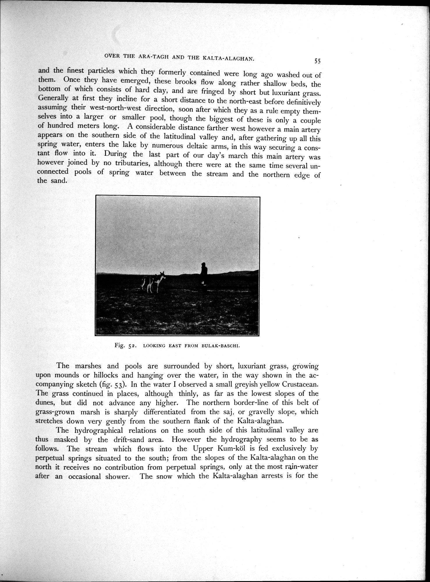
Fig. 52. LOOKING EAST FROM BULAK-BASCHI.
|
Copyright (C) 2003-2019
National Institute of Informatics(国立情報学研究所)
and
The Toyo Bunko(東洋文庫). All Rights Reserved.
本ウェブサイトに掲載するデジタル文化資源の無断転載は固くお断りいたします。