国立情報学研究所 - ディジタル・シルクロード・プロジェクト
| |||||||||
|
| Scientific Results of a Journey in Central Asia, 1899-1902 : vol.3 | |
| 1899-1902年の中央アジア旅行における科学的成果 : vol.3 |
 |
•
i8 MY FIRST JOURNEY IN NORTH-EASTERN TIBET.
saj. At the Anambaruin-gol we already encountered a similar glen, and have learnt that there too the Astin-tagh is a double range, the southern chain forming the water-divide, while the northern chain is pierced by the streams. If we were to trust solely to the map of this region drawn by the Russian General Staff, on the basis of Prschevalskij's Fourth Journey, we should be unable to recognise the country. On that map the Astin-tagh is represented as a single large range; while the system really consists, as my maps clearly show, of two chains, separated from one another with the utmost distinctness, and presenting orographically very different characteristics. Even on Littledale's rough map it is easy to see, not only that there are two chains, but that one of them is the water-divide,
while the other is pierced by the streams.
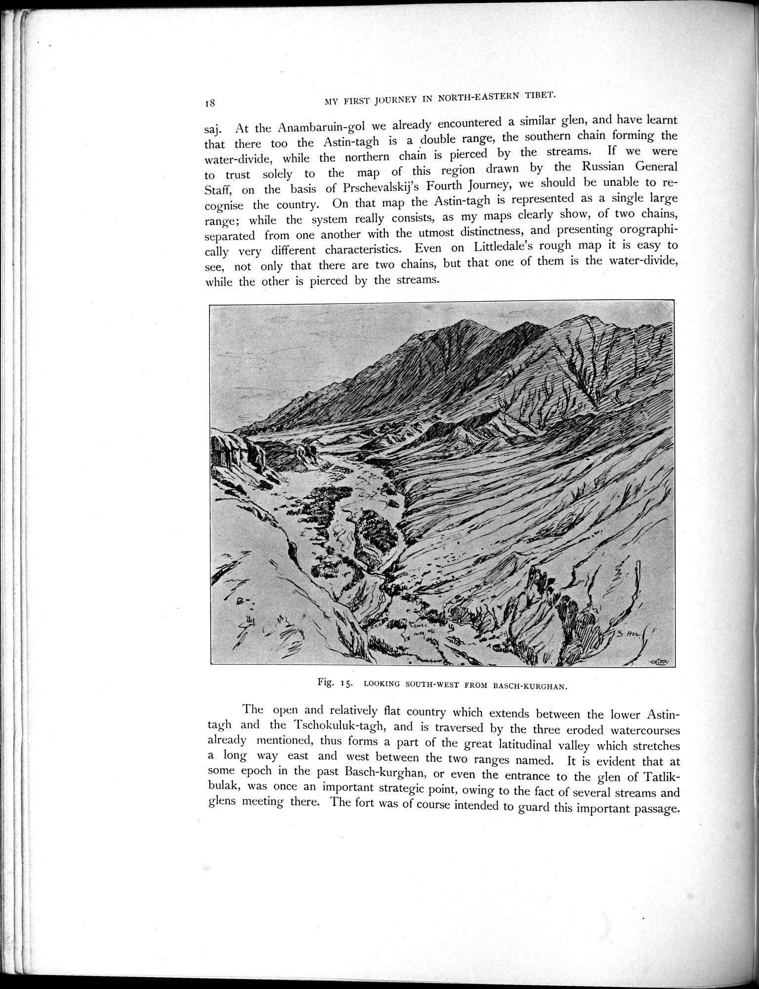
The open and relatively flat country which extends between the lower Astintagh and the Tschokuluk-tagh, and is traversed by the three eroded watercourses already mentioned, thus forms a part of the great latitudinal valley which stretches a long way east and west between the two ranges named. It is evident that at some epoch in the past Basch-kurghan, or even the entrance to the glen of Tatlikbulak, was once an important strategic point, owing to the fact of several streams and glens meeting there. The fort was of course intended to guard this important passage.
Fig. 15. LOOKING SOUTH-WEST FROM BASCH-KURGHAN.
|
Copyright (C) 2003-2019
National Institute of Informatics(国立情報学研究所)
and
The Toyo Bunko(東洋文庫). All Rights Reserved.
本ウェブサイトに掲載するデジタル文化資源の無断転載は固くお断りいたします。