国立情報学研究所 - ディジタル・シルクロード・プロジェクト
| |||||||||
|
| Scientific Results of a Journey in Central Asia, 1899-1902 : vol.3 | |
| 1899-1902年の中央アジア旅行における科学的成果 : vol.3 |
 |
416 A NEW JOURNEY SOUTHWARDS.
surface was somewhat harder. Our descent over on the southern side was stopped by a watercourse deeply cut in the soft ruinous mountain débris, the banks of which went down very abruptly, indeed they were mostly perpendicular. The stream, amounting to a volume of a couple of cubic meters of intensely salt water, the margins of which gleamed white with salt, is clearly a left-hand affluent of the main stream which issues out of the Arka-tagh to the south, — a stream the existence of which is witnessed to by Roborovskij, for he crossed over it twice, and on his map gives it the name of Sasik-jar. This name means the Stinking or Evil-smelling Stream, and would seem to allude to the undrinkable water in its lower part, for higher up its water is quite certainly fresh. None of my men was acquainted with this name, which for the reason stated seems to me to be probably correct. It is self-evident that the whole of this salt-impregnated region is absolutely barren. In the bottom of the deep, narrow, glen down which this stream flows we found no trace of either gravel or sand, nothing but yellowish red mud, which made it exceedingly difficult, and
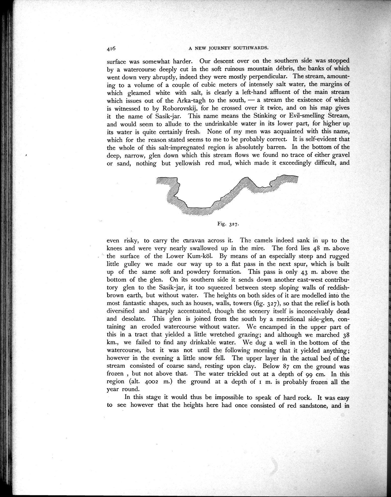
even risky, to carry the caravan across it. The camels indeed sank in up to the knees and were very nearly swallowed up in the mire. The ford lies 48 m. above the surface of the Lower Kum-köl. By means of an especially steep and rugged little gulley we made our way up to a flat pass in the next spur, which is built up of the same soft and powdery formation. This pass is only 43 m. above the bottom of the glen. On its southern side it sends down another east-west contributory glen to the Sasik-jar, it too squeezed between steep sloping walls of reddish-brown earth, but without water. The heights on both sides of it are modelled into the most fantastic shapes, such as houses, walls, towers (fig. 327), so that the relief is both diversified and sharply accentuated, though the scenery itself is inconceivably dead and desolate. This glen is joined from the south by a meridional side-glen, containing an eroded watercourse without water. We encamped in the upper part of this in a tract that yielded a little wretched grazing; and although we marched 38 km., we failed to find any drinkable water. We dug a well in the bottom of the watercourse, but it was not until the following morning that it yielded anything ; however in the evening a little snow fell. The upper layer in the actual bed of the stream consisted of coarse sand, resting upon clay. Below 87 cm the ground was frozen , but not above that. The water trickled out at a depth of 99 cm. In this region (alt. 4002 m.) the ground at a depth of z m. is probably frozen all the year round.
In this stage it would thus be impossible to speak of hard rock. It was easy to see however that the heights here had once consisted of red sandstone, and in
Fig. 327.
|
Copyright (C) 2003-2019
National Institute of Informatics(国立情報学研究所)
and
The Toyo Bunko(東洋文庫). All Rights Reserved.
本ウェブサイトに掲載するデジタル文化資源の無断転載は固くお断りいたします。