国立情報学研究所 - ディジタル・シルクロード・プロジェクト
| |||||||||
|
| Scientific Results of a Journey in Central Asia, 1899-1902 : vol.3 | |
| 1899-1902年の中央アジア旅行における科学的成果 : vol.3 |
 |
274
JOURNEY TO ANAMBARUIN-ULA.
glen for which we were aiming I stopped and took some compass-bearings. To the N. 22° W. and N. 40° W. we perceived lofty dome-shaped bosses of the main chain of the Akato-tagh, with traces of snow in its sheltered crevices. To the N. 66° W. was an isolated hill standing below the mountain foot; to the S. 5° W. the entrance to the glen of Korumluk-saj; to the S. 13° E. Tschigelik and the entrance of Mandarlik-saj : to the south-east the last promontory of the Akato-tagh that was visible in that direction. For as far as we were able to see in that same direction the range appeared to preserve a pretty uniform altitude, and to be without any such important swellings as occur to the north-west. Towards the south-east we estimated that there were about i oo glen entrances, all decidedly small and situated quite close to one another. Although there were several glen openings pretty close to us on the north, yet between Julghun-dung and our glen we did not cross over a single watercourse in the saj ; so that the rainwater which
t
occasionally courses down out of them does not even reach the upper saj. I may however add, that the ascent of the latter towards the mountain-foot is quite imperceptible to the eye, and is but very slightly broken. It is quite possible therefore that the eroded watercourses of the glens that we saw to the north gather into common main stream, which in that case must lie west of Julghun-dung, and no doubt joins the brook of Tasch-uj. At all events it is characteristic that the surface rises so extremely gently from the Ghas-köl up towards the southern foot of the Akato-tagh, while the ascent from the lake to the outlet of the Mandarlik glen is very perceptible. Now the Ghas-köl lies pretty nearly in the middle of the Tschimen valley, at about the same distance from the Akato-tagh that it is from the Tschimen-tagh. But if we go a short distance farther west, to the region where we previously crossed over the range by two different routes, we find that the characteristic feature I have just alluded to is even more accentuated; indeed not only does the surface there not rise towards the foot of the mountains, it actually falls, and that on both the north and the south side of the Akato-tagh. For instance we found the Usun-schor lying close to the foot of the northern mountains and the Köl or Tschimen-köl at a very short distance from the foot of the southern mountains; and again to the east of the Tschimen-köl we found, that all the spring-fed brooks keep quite close to the foot of the Akato-tagh. Thus the Akato-tagh
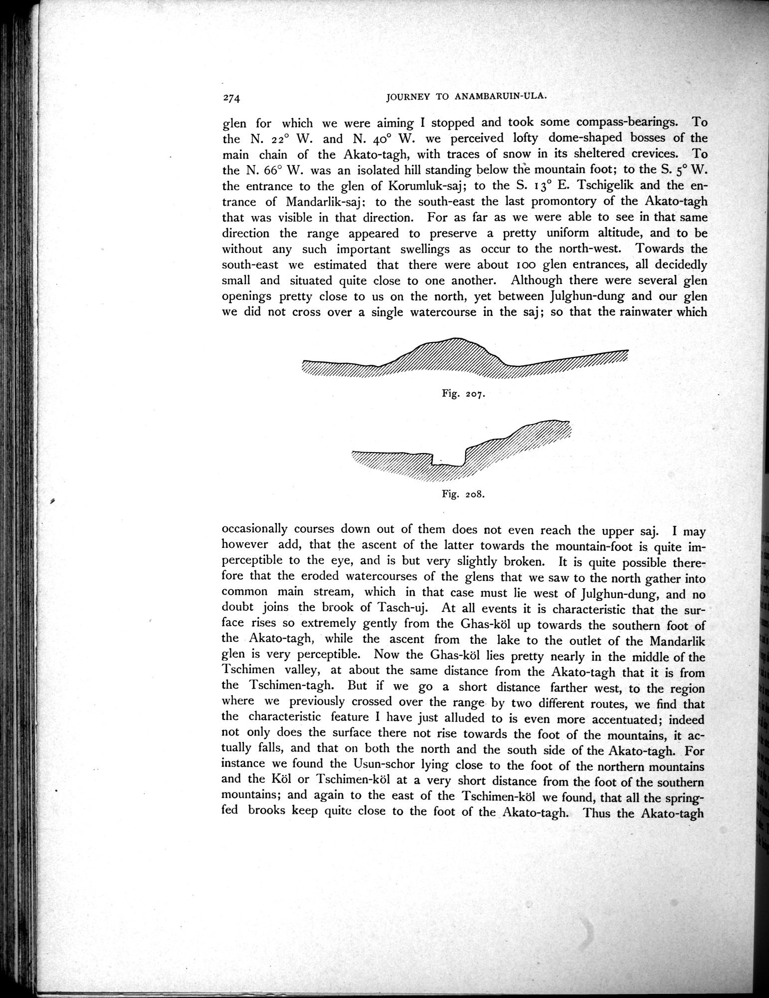
Fig. 208.
Fig. 207.
|
Copyright (C) 2003-2019
National Institute of Informatics(国立情報学研究所)
and
The Toyo Bunko(東洋文庫). All Rights Reserved.
本ウェブサイトに掲載するデジタル文化資源の無断転載は固くお断りいたします。