国立情報学研究所 - ディジタル・シルクロード・プロジェクト
| |||||||||
|
| Scientific Results of a Journey in Central Asia, 1899-1902 : vol.3 | |
| 1899-1902年の中央アジア旅行における科学的成果 : vol.3 |
 |
i
326 JOURNEY TO ANAMBARUIN-ULA.
appeared to have been used for a very long time : there was good grazing, but it was quite untouched. The balghun bushes were here very plentiful. This place, which the Mussulmans call Kan-ambal, a corruption of the Mongolian Anambar, is situated in a triangular expansion of the glen, where side-glens meet it from several directions, and concentrating themselves into a single transverse glen, force their way through the northern Astin-tagh, and finally lose themselves in the Desert of Gobi, in the way I have described in Chap. XXXII of vol. II.
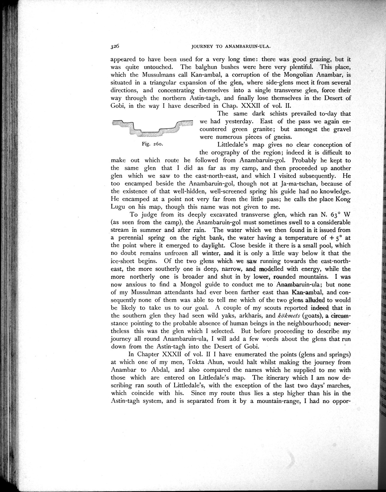
The same dark schists prevailed to-day that
we had yesterday. East of the pass we again en-
,4
countered countered green granite; but amongst the gravel
were numerous pieces of gneiss.
Fig. 26o. Littledale's map gives no clear conception of
the orography of the region; indeed it is difficult to make out which route he followed from Anambaruin-gol. Probably he kept to the same glen that I did as far as my camp, and then proceeded up another glen which we saw to the east-north-east, and which I visited subsequently. He too encamped beside the Anambaruin-gol, though not at Ja-ma-tschan, because of the existence of that well-hidden, well-screened spring his guide had no knowledge. He encamped at a point not very far from the little pass; he calls the place Kong Lugu on his map, though this naine was not given to me.
To judge from its deeply excavated transverse glen, which ran N. 63° W (as seen from the camp), the Anambaruin-gol must sometimes swell to a considerable stream in summer and after rain. The water which we then found in it issued from a perennial spring on the right bank, the water having a temperature of + 5° at the point where it emerged to daylight. Close beside it there is a small pool, which no doubt remains unfrozen all winter, and it is only a little way below it that the ice-sheet begins. Of the two glens which we saw running towards the east-northeast, the more southerly one is deep, narrow, and modelled with energy, while the more northerly one is broader and shut in by lower, rounded mountains. I was now anxious to find a Mongol guide to conduct me to Anambaruin-ula; but none of my Mussulman attendants had ever been farther east than Kan-ambal, and consequently none of them was able to tell me which of the two glens alluded to would be likely to take us to our goal. A couple of my scouts reported indeed that in the southern glen they had seen wild yaks, arkharis, and kökmas (goats), a circumstance pointing to the probable absence of human beings in the neighbourhood; nevertheless this was the glen which I selected. But before proceeding to describe my journey all round Anambaruin-ula, I will add a few words about the glens that run down from the Astin-tagh into the Desert of Gobi.
In Chapter XXXII of vol. II I have enumerated the points (glens and springs) at which one of my men, Tokta Ahun, would halt whilst making the journey from Anambar to Abdal, and also compared the names which he supplied to me with those which are entered on Littledale's map. The itinerary which I am now describing ran south of Littledale's, with the exception of the last two days' marches, which coincide with his. Since my route thus lies a step higher than his in the Astin-tagh system, and is separated from it by a mountain-range, I had no oppor-
|
Copyright (C) 2003-2019
National Institute of Informatics(国立情報学研究所)
and
The Toyo Bunko(東洋文庫). All Rights Reserved.
本ウェブサイトに掲載するデジタル文化資源の無断転載は固くお断りいたします。