国立情報学研究所 - ディジタル・シルクロード・プロジェクト
| |||||||||
|
| Scientific Results of a Journey in Central Asia, 1899-1902 : vol.3 | |
| 1899-1902年の中央アジア旅行における科学的成果 : vol.3 |
 |
412 A NEW JOURNEY SOUTHWARDS.
June I st. From Camp X we ascended yet another 8o m. as far as a little easy saddle or pass, which is orographically significant only as forming the water-divide between the big latitudinal valley on the north and a very small self-contained basin on the south; the latter being a tiny cauldron-shaped depression, with a miniature lake in the middle, or rather a large pool, no doubt formed from the snows of the last few days. The range of Piaslik, which borders this little basin on the south, is crossed by a pass of precisely the same absolute altitude as the preceding pass, namely 4159 m. South of it we travelled diagonally across the western part of the latitudinal valley between Piaslik and the Kalta-alaghan, passing on our right, that is to the west, what appeared to be a free-standing butte, but which may very
well have been merely an offshoot or spur of some mountain-range or other. The rather large, open glen which lies on the southern side of this butte was stated by my guides to run towards the west-south-west and to enter the Toghri-saj, a statement I am unable to control, though it seems to me not improbable. In the upper part of this glen there is thus a saddle, which separates the water that flows down to the glen leading into the Toghri-saj from that which enters the flat, irregularly shaped depression which we were then crossing over. That this really is a self-contained drainage-basin appeared to be evident from the rather extensive area of moist, flat sedimentary ground which we passed close on our right hand, and towards which the then dry watercourses converge. This depression is bordered therefore on the south by the Kalta-alaghan, which we crossed by means of a pass 4326 m. high, the highest point we had attained since leaving Tscharklik. The level alluvium in the bottom of the depression was coloured red from the mountains of red sandstone and conglomerate, very friable and much disintegrated, that shuts it in all round.
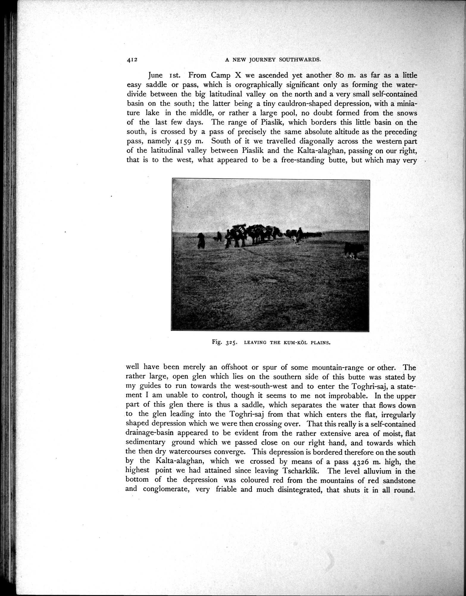
Fig. 325. LEAVING THE KUM-KÖL PLAINS.
|
Copyright (C) 2003-2019
National Institute of Informatics(国立情報学研究所)
and
The Toyo Bunko(東洋文庫). All Rights Reserved.
本ウェブサイトに掲載するデジタル文化資源の無断転載は固くお断りいたします。