国立情報学研究所 - ディジタル・シルクロード・プロジェクト
| |||||||||
|
| Scientific Results of a Journey in Central Asia, 1899-1902 : vol.3 | |
| 1899-1902年の中央アジア旅行における科学的成果 : vol.3 |
 |
FROM TOGHRI-SAJ TO TEMIRLIK: ROCK PICTURES. 197
stream keeps close to the northern offshoots of the Piaslik-tagh. These form small bosses, amongst which we rode in and out.
At Ghischa we found, close to the right bank, pretty good tall grass, although it was then dry and yellow. The altitude was 3769 m.
The little butte on the right side of the outlet of the valley of Toghrisaj was composed of grey granite, lying at 83° S., with a dyke of dark-green diabase in it. Below the red hills and slopes which have given rise to the name Kisil-bojan, or the Red Promontory, the detritus and loose fragments of stone consisted of red granite and pegmatite, and the hard rock above pretty certainly consisted of the same varieties of rock. At our camp there was a black crystalline rock, dipping 84° towards the S. 3o° E. Thus while green schist predominated in the valley of Toghri-saj, here the rock was granite.
October 14th. Beyond Ghischa we travelled for a time beside the stream;
then, leaving this to the south, we crossed
over a more open, flat slope reaching down towards the south-east. The stream
had then a volume of about 5 cub. m., the water being almost limpid, with pieces of ice floating on its surface, while fringes of fixed ice lined the margins. The bottom was filled with débris. Here, strange to say, not only does the stream flow along the foot of the Piaslik-tagh, but it actually cuts its way through several of the north-going offshoots. These form cliffs of a rather wild and picturesque character, their prevailing tones being grey, black, or brown, while between them open out side-glens, sometimes broad, sometimes narrow, though only one or two of these then carried water. On the other hand all of them possessed deeply trenched watercourses, bordered by precipitous terraces often several meters high. After heavy rains these channels will in the summer be able to make important contributions to the main stream, and the latter does indeed bear evidence of carrying at times quite a formidable flood. It should be observed, that the Ilve-tschimen, the loftiest upheaval in the whole region, lies directly opposite on the north side of the valley, and that its gigantic talus forces the river to keep to the southern side of the valley, and even to cut its way through the relatively low-lying offshoots from the Piaslik-tagh. The profile it presents is therefore something like that shown in the annexed cut.
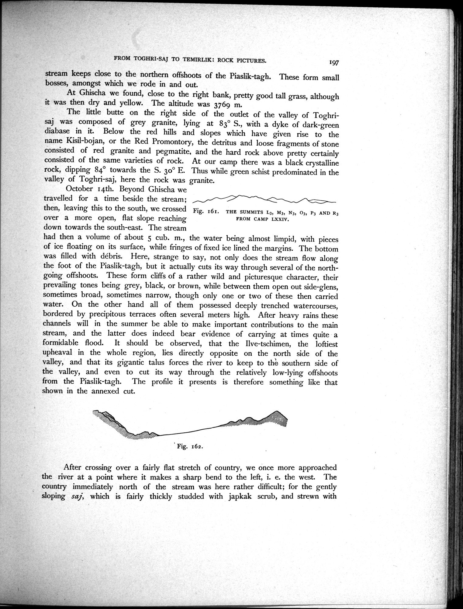
P3 AND R3
Fig. 161.
THE SUMMITS L3, M3, N3, 03, FROM CAMP LXXIV.
After crossing over a fairly flat stretch of country, we once more approached the river at a point where it makes a sharp bend to the left, i. e. the west. The country immediately north of the stream was here rather difficult; for the gently sloping saj, which is fairly thickly studded with japkak scrub, and strewn with
Fig. 162.
|
Copyright (C) 2003-2019
National Institute of Informatics(国立情報学研究所)
and
The Toyo Bunko(東洋文庫). All Rights Reserved.
本ウェブサイトに掲載するデジタル文化資源の無断転載は固くお断りいたします。