国立情報学研究所 - ディジタル・シルクロード・プロジェクト
| |||||||||
|
| Scientific Results of a Journey in Central Asia, 1899-1902 : vol.3 | |
| 1899-1902年の中央アジア旅行における科学的成果 : vol.3 |
 |
NORTH AND WEST OF TIIE ANAMBARUIN-ULA. 377
Four Walls respectively. What amount of historical truth there may be at the bottom of this tradition, current amongst the Mongols, I am unable to say.
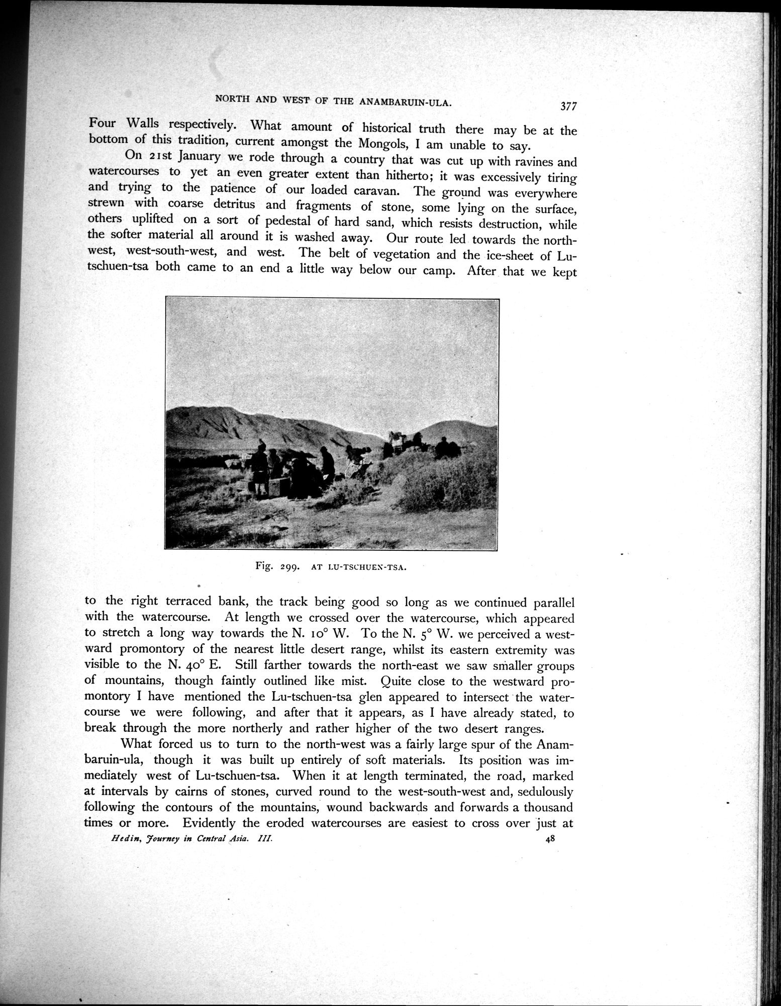
On 2 I st January we rode through a country that was cut up with ravines and watercourses to yet an even greater extent than hitherto; it was excessively tiring and trying to the patience of our loaded caravan. The ground was everywhere strewn with coarse detritus and fragments of stone, some lying on the surface, others uplifted on a sort of pedestal of hard sand, which resists destruction, while the softer material all around it is washed away. Our route led towards the northwest, west-south-west, and west. The belt of vegetation and the ice-sheet of Lutschuen-tsa both came to an end a little way below our camp. After that we kept
Fig. 299. AT LU-TSC:HUE\-TSA.
to the right terraced bank, the track being good so long as we continued parallel with the watercourse. At length we crossed over the watercourse, which appeared to stretch a long way towards the N. 1o° W. To the N. 5° W. we perceived a westward promontory of the nearest little desert range, whilst its eastern extremity was visible to the N. 4o° E. Still farther towards the north-east we saw smaller groups of mountains, though faintly outlined like mist. Quite close to the westward promontory I have mentioned the Lu-tschuen-tsa glen appeared to intersect the watercourse we were following, and after that it appears, as I have already stated, to break through the more northerly and rather higher of the two desert ranges.
What forced us to turn to the north-west was a fairly large spur of the Anambaruin-ula, though it was built up entirely of soft materials. Its position was immediately west of Lu-tschuen-tsa. When it at length terminated, the road, marked at intervals by cairns of stones, curved round to the west-south-west and, sedulously following the contours of the mountains, wound backwards and forwards a thousand times or more. Evidently the eroded watercourses are easiest to cross over just at
Hedin, Tourney in Central Asia. III. 48
|
Copyright (C) 2003-2019
National Institute of Informatics(国立情報学研究所)
and
The Toyo Bunko(東洋文庫). All Rights Reserved.
本ウェブサイトに掲載するデジタル文化資源の無断転載は固くお断りいたします。