国立情報学研究所 - ディジタル・シルクロード・プロジェクト
| |||||||||
|
| Scientific Results of a Journey in Central Asia, 1899-1902 : vol.3 | |
| 1899-1902年の中央アジア旅行における科学的成果 : vol.3 |
 |
224 EXCURSION TO AJAGH-KUM-KÖL.
notwithstanding its considerable percentage of salt, have cooled sufficiently for the surface layer to freeze.
The soundings we secured along this new line were as follows: 3.17, 3.63, 3.95 4.48, 4.99, 5.6o, 9.03, 16.66, 18.58, 19.88, 20.98, 23.07, 24.03, 23.67, 23.16, 22.40, 21.52, 2I.oi, 2I.00, 19.11, and 7.75 m. Thus at first the depth increased but slowly, but afterwards more quickly until it reached its maximum of 24.03 m., this being a good deal nearer to the northern than to the southern side. From this deep trough the bottom of the lake rises slowly towards the northern shore, until at only 1.25 km. from it the depth is again 19.II m. Thus the northern part of the lake is deeper than the southern; nor could anything else be expected when the general shape of the great Kum-köl basin is borne in mind : the Kalta-alaghan being relatively close to the northern shore, while the first chains of the Arka-tagh rise at a considerable distance from the southern shore. Between the southern shore and the deep trough there is curiously a steep slope, which presented precisely the same characteristics and occupied precisely the same position along both lines of soundings; but then they happened just there to approach pretty close together. Along the eastern line, proceeding from south to north, we have the soundings 5.48, 9.81, and 16.75 m., while along the western line the corresponding soundings were 5.6o, 9.03, and 16.66 m. In other words in a distance of only II/2 km. the lake drops I I m., while from the southern shore to the edge of this abrupt declivity, a distance of 5',12 km., the fall is only 5.5 m.
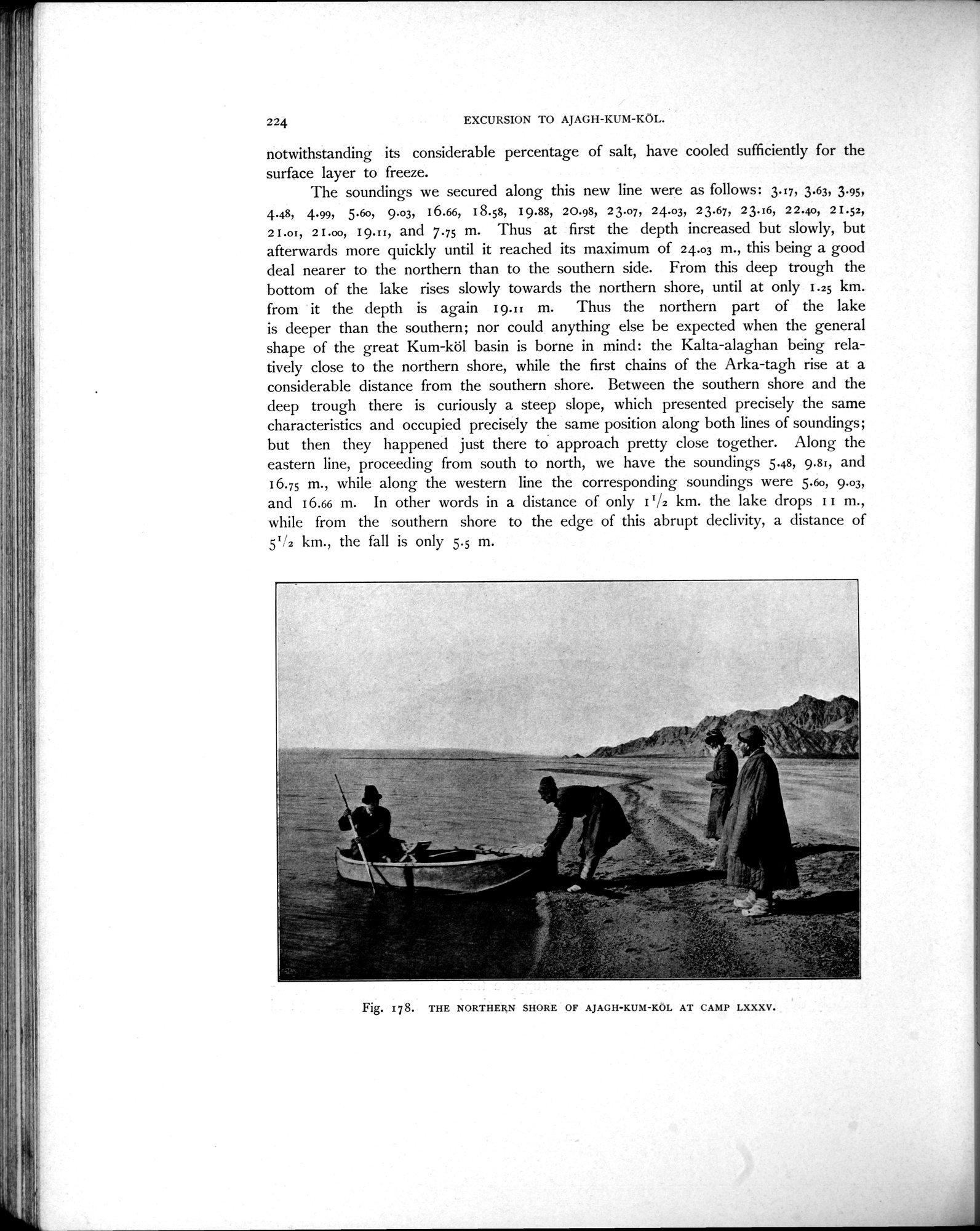
Fig. 178. THE NORTHERN SHORE OF AJAGH-KUM-KÖL AT CAMP LXXXV.
|
Copyright (C) 2003-2019
National Institute of Informatics(国立情報学研究所)
and
The Toyo Bunko(東洋文庫). All Rights Reserved.
本ウェブサイトに掲載するデジタル文化資源の無断転載は固くお断りいたします。