国立情報学研究所 - ディジタル・シルクロード・プロジェクト
| |||||||||
|
| Scientific Results of a Journey in Central Asia, 1899-1902 : vol.3 | |
| 1899-1902年の中央アジア旅行における科学的成果 : vol.3 |
 |
538 MV JOURNEY ALONG TIIE ARKA-TAGH IN 1896.
The higher we climbed the finer became the gravel, until finally its place was taken by coarse sand. Black schists still predominated. The glen continued to widen out until we saw ahead of us a gigantic gateway formed by two opposing masses of hard red sandstone; but it was only in their upper parts that the bare rock cropped out to daylight; their lower slopes are masked by immense screes of stones. Here the glen which we had hitherto followed ceased to be distinct, the country southeast of the »gateway» being still more open. According to the investigations of
Dutreuil de Rhins and Grenard I have made a mistake in taking this thalweg for the upper part of the Kara-muran; in point of fact it is only a side-glen coming from the south and joining the actual main glen of the Kara-muran. Here we had relatively low ranges. Camp II was situated at an altitude of 4703 m. From the altitudes that I have already quoted it is evident that the Tibetan highlands rise in this quarter much more steeply than they do, for instance, at Tatlik-bulak and Tscharklik-su.
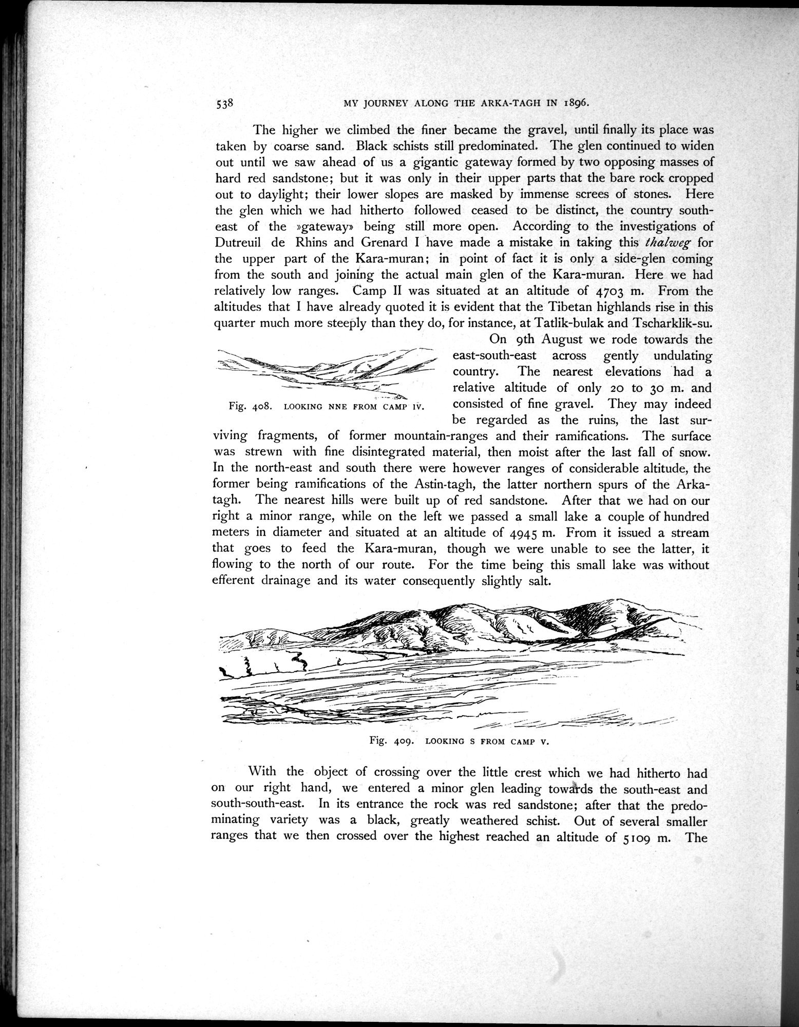
On 9th August we rode towards the
east-south-east across gently undulating country. The nearest elevations had a
relative altitude of only 20 to 30 m. and
77-
consisted of fine gravel. They may indeed
Fig. 408. LOOKING NNE FROM CAMP IV. gravel. y
be regarded as the ruins, the last surviving fragments, of former mountain-ranges and their ramifications. The surface was strewn with fine disintegrated material, then moist after the last fall of snow. In the north-east and south there were however ranges of considerable altitude, the former being ramifications of the Astin-tagh, the latter northern spurs of the Arkatagh. The nearest hills were built up of red sandstone. After that we had on our right a minor range, while on the left we passed a small lake a couple of hundred meters in diameter and situated at an altitude of 4945 m. From it issued a stream that goes to feed the Kara-muran, though we were unable to see the latter, it flowing to the north of our route. For the time being this small lake was without efferent drainage and its water consequently slightly salt.
4
~ -- -~ •r ~--t-~ ~ °- =~~ ~__
_~ `- _ , ' ~~.
-, ~ i IY ~~_ _ F ~
;i,i.~%_ _ f= c-~`-^~-- = -
4;■••--
-
Fig. 409. LOOKING S FROM CAMP V.
With the object of crossing over the little crest which we had hitherto had on our right hand, we entered a minor glen leading towards the south-east and south-south-east. In its entrance the rock was red sandstone; after that the predominating variety was a black, greatly weathered schist. Out of several smaller ranges that we then crossed over the highest reached an altitude of 5109 m. The
|
Copyright (C) 2003-2019
National Institute of Informatics(国立情報学研究所)
and
The Toyo Bunko(東洋文庫). All Rights Reserved.
本ウェブサイトに掲載するデジタル文化資源の無断転載は固くお断りいたします。