国立情報学研究所 - ディジタル・シルクロード・プロジェクト
| |||||||||
|
| Scientific Results of a Journey in Central Asia, 1899-1902 : vol.3 | |
| 1899-1902年の中央アジア旅行における科学的成果 : vol.3 |
 |
TRAVELLING SOUTH FROM TIIE ARKA-TAGH.
443
peak is the culminating feature, stood out with wonderful clearness, brilliantly white against the light blue background. And the weather continued to be fine; although the day did not pass without the usual regular wind, blowing however from the south-west and west-south-west. When we reached the highest pass a little snow fell. The faunal life here embraced kulans and orongo antelopes, wolves, partridges, and the species of gull known to the Turks as hang eit; but over on the south side of the range which we were about to cross animal life was well represented.
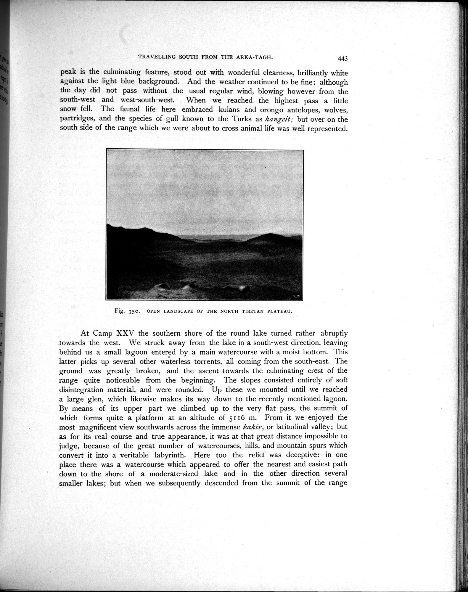
Fig. 350. OPEN LANDSCAPE OF THE NORTH TIBETAN PLATEAU.
At Camp XXV the southern shore of the round lake turned rather abruptly towards the west. We struck away from the lake in a south-west direction, leaving behind us a small lagoon entered by a main watercourse with a moist bottom. This latter picks up several other waterless torrents, all coming from the south-east. The ground was greatly broken, and the ascent towards the culminating crest of the range quite noticeable from the beginning. The slopes consisted entirely of soft disintegration material, and were rounded. Up these we mounted until we reached a large glen, which likewise makes its way down to the recently mentioned lagoon. By means of its upper part we climbed up to the very flat pass, the summit of which forms quite a platform at an altitude of 5116 m. From it we enjoyed the most magnificent view southwards across the immense kakir, or latitudinal valley; but as for its real course and true appearance, it was at that great distance impossible to judge, because of the great number of watercourses, hills, and mountain spurs which convert it into a veritable labyrinth. Here too the relief was deceptive: in one place there was a watercourse which appeared to offer the nearest and easiest path down to the shore of a moderate-sized lake and in the other direction several smaller lakes; but when we subsequently descended from the summit of the range
|
Copyright (C) 2003-2019
National Institute of Informatics(国立情報学研究所)
and
The Toyo Bunko(東洋文庫). All Rights Reserved.
本ウェブサイトに掲載するデジタル文化資源の無断転載は固くお断りいたします。