国立情報学研究所 - ディジタル・シルクロード・プロジェクト
| |||||||||
|
| Scientific Results of a Journey in Central Asia, 1899-1902 : vol.3 | |
| 1899-1902年の中央アジア旅行における科学的成果 : vol.3 |
 |
ALONG THE SOUTHERN FOOT OF THE ARKA-TAGH.
561
On 13th September we travelled towards the south-east, keeping first along the eastern shore of the lake, then striking away from it and crossing over various brooks that issue out of the Arka-tagh. After surmounting a threshold 5085 m. high, we went down into a smaller basin (5023 m.) containing a freshwater pool. In this
region the only vegetation to be found was moss.
Immediately east of Camp XXVI began a brook, which we followed all day on the 14th September towards the east and east-north-east; this is joined by several tributaries from the range on the south. Here the character of the latitudinal valley is particularly well developed. The surface was boggy and treacherous in consequence of the snowfall of the past few days, the snow having melted and penetrated into the ground. The only exception to this was on the northern slopes of the southern range, where the snow did remain all day. Our brook gradually swelled until it carried a volume of 3 cub.m.; it empties into the western end of lake No. XIX, forming a typical delta. Camp XXVII by the lake-side had an altitude of 4802 m., so that we had now reached relatively lower parts of the latitudinal valley. On the northern shore is a subsidiary and parallel range of the Arka-tagh, reaching its culmination in the peak N,. To the north-north-east was the conspicuous peak M, of the Arka-tagh.
-- --- . .~
~ " _.,_~ ~~~+~%xfi:•--,-~
/~
~'~~d~~,!
~...~~,
,
~
ry ~
M _
-;-
4,11
.
~-
.-. ~ =•
~ - --• '
~ ~ ~ ~ ~...~--~• . -.•.~
. ._z .,=Ki : _r.-' ~~ - i;,.,:-•..•~~ .: ~.~ -----_ --
\\4~.~~~e
Y C1
" ~,-- --- - -= -
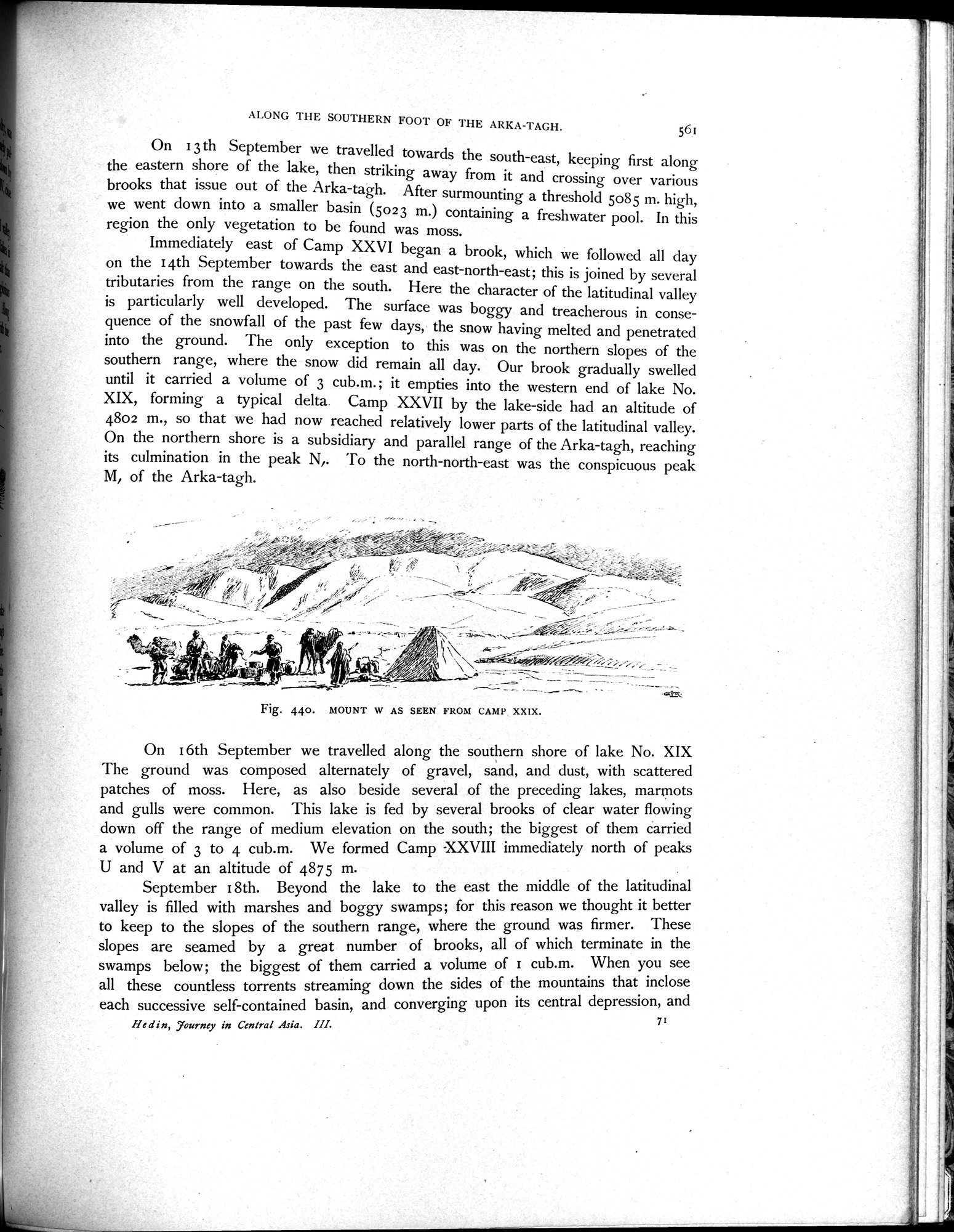
Fig. 440. MOUNT w AS SEEN FROM CAMP XXIX.
On I 6th September we travelled along the southern shore of lake No. XIX The ground was composed alternately of gravel, sand, and dust, with scattered patches of moss. Here, as also beside several of the preceding lakes, marmots and gulls were common. This lake is fed by several brooks of clear water flowing down off the range of medium elevation on the south; the biggest of them carried a volume of 3 to 4 cub.m. We formed Camp XXVIII immediately north of peaks
U and V at an altitude of 4875 m.
September I 8th. Beyond the lake to the east the middle of the latitudinal valley is filled with marshes and boggy swamps; for this reason we thought it better to keep to the slopes of the southern range, where the ground was firmer. These slopes are seamed by a great number of brooks, all of which terminate in the swamps below; the biggest of them carried a volume of I cub.m. When you see all these countless torrents streaming down the sides of the mountains that inclose each successive self-contained basin, and converging upon its central depression, and
He din, :journeyourney in Central Asia. III. 7
|
Copyright (C) 2003-2019
National Institute of Informatics(国立情報学研究所)
and
The Toyo Bunko(東洋文庫). All Rights Reserved.
本ウェブサイトに掲載するデジタル文化資源の無断転載は固くお断りいたします。