国立情報学研究所 - ディジタル・シルクロード・プロジェクト
| |||||||||
|
| Scientific Results of a Journey in Central Asia, 1899-1902 : vol.3 | |
| 1899-1902年の中央アジア旅行における科学的成果 : vol.3 |
 |
420 A NEW JOURNEY SOUTHWARDS.
Nor did the characteristic Tibetan weather fail to put in an appearance, namely a violent wind from the west, followed by a copious fall of snow. A ridge visible to the west of Camp XIV was called by my guides Tekija-tagh, while to the southwest, but at some distance, was the mountain-range of Alialikning-tagh, which is however not especially high.
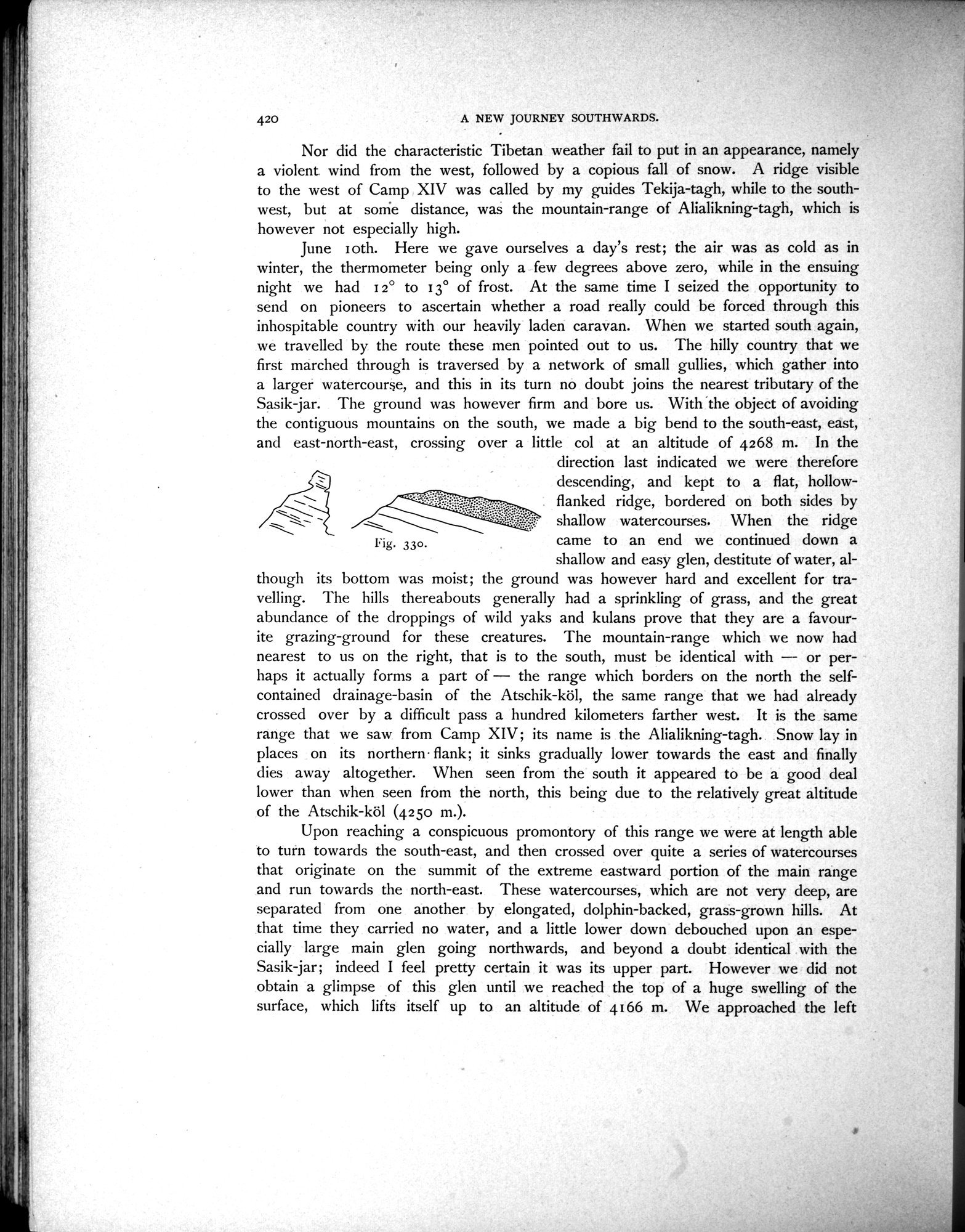
June I oth. Here we gave ourselves a day's rest; the air was as cold as in winter, the thermometer being only a few degrees above zero, while in the ensuing night we had i 2° to 13° of frost. At the same time I seized the opportunity to send on pioneers to ascertain whether a road really could be forced through this inhospitable country with our heavily laden caravan. When we started south again, we travelled by the route these men pointed out to us. The hilly country that we first marched through is traversed by a network of small gullies, which gather into a larger watercourse, and this in its turn no doubt joins the nearest tributary of the Sasik-jar. The ground was however firm and bore us. With the object of avoiding the contiguous mountains on the south, we made a big bend to the south-east, east, and east-north-east, crossing over a little col at an altitude of 4268 ni. In the
direction last indicated we were therefore descending, and kept to a flat, hollow-flanked ridge, bordered on both sides by
shallow watercourses. When the ridge
Fig. 330. came to an end we continued down a
shallow and easy glen, destitute of water, al
though its bottom was moist; the ground was however hard and excellent for travelling. The hills thereabouts generally had a sprinkling of grass, and the great abundance of the droppings of wild yaks and kulans prove that they are a favourite grazing-ground for these creatures. The mountain-range which we now had nearest to us on the right, that is to the south, must be identical with -- or per-Imps it actually forms a part of — the range which borders on the north the self-contained drainage-basin of the Atschik-köl, the same range that we had already crossed over by a difficult pass a hundred kilometers farther west. It is the same range that we saw from Camp XIV; its name is the Alialikning-tagh. Snow lay in places on its northern. flank; it sinks gradually lower towards the east and finally dies away altogether. When seen from the south it appeared to be a good deal lower than when seen from the north, this being due to the relatively great altitude of the Atschik-köl (4250 m.).
Upon reaching a conspicuous promontory of this range we were at length able to turn towards the south-east, and then crossed over quite a series of watercourses that originate on the summit of the extreme eastward portion of the main range and run towards the north-east. These watercourses, which are not very deep, are separated from one another by elongated, dolphin-backed, grass-grown hills. At that time they carried no water, and a little lower down debouched upon an especially large main glen going northwards, and beyond a doubt identical with the Sasik-jar; indeed I feel pretty certain it was its upper part. However we did not obtain a glimpse of this glen until we reached the top of a huge swelling of the surface, which lifts itself up to an altitude of 4166 m. We approached the left
|
Copyright (C) 2003-2019
National Institute of Informatics(国立情報学研究所)
and
The Toyo Bunko(東洋文庫). All Rights Reserved.
本ウェブサイトに掲載するデジタル文化資源の無断転載は固くお断りいたします。