国立情報学研究所 - ディジタル・シルクロード・プロジェクト
| |||||||||
|
| Scientific Results of a Journey in Central Asia, 1899-1902 : vol.3 | |
| 1899-1902年の中央アジア旅行における科学的成果 : vol.3 |
 |
OVER THE AKATO-TAGH AND THE TSCHIMEN-TAGH. 29
Shortly afterwards the hard gravelly saj came to an end, and was succeeded by hard, level, yellow clay mud, which has been brought down and left there by the torrent that flows down the glen from the pass. On the right we had the continuation of the saj and on the left scanty, but very sappy, kamisch. In the middle of the level steppe is a little lake, barely 500 m. long, with good clear water, and surrounded by grazing. It is generally called quite simply the »köl», though it is also known as the Tschimen-köl, a name which I also heard applied to the Ghasnor farther east in the same latitudinal valley, and which I therefore all the more willingly reserve for this lake. The altitude here was 3004 m.
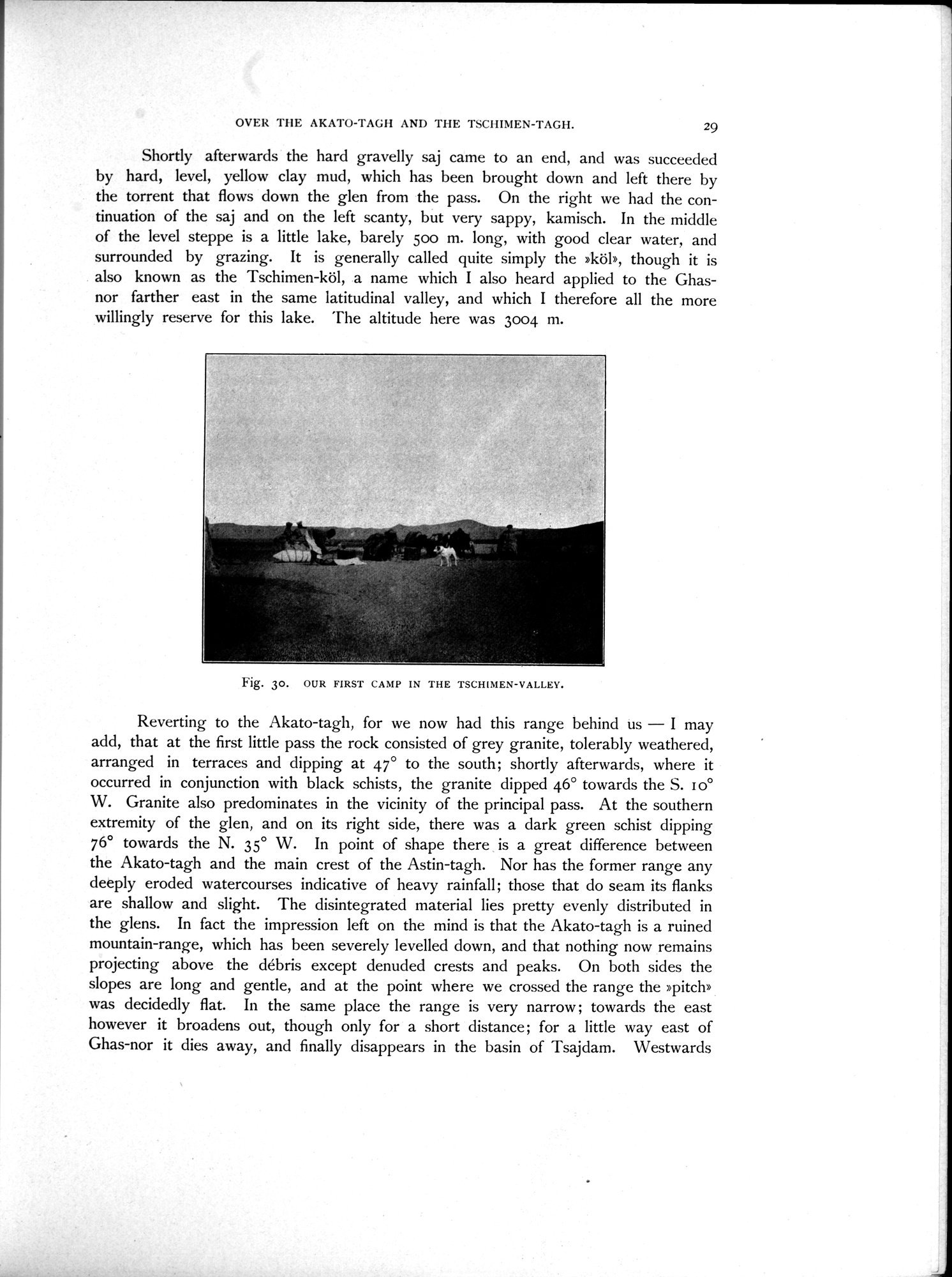
Fig. 30. OUR FIRST CAMP IN THE TSCHIMEN-VALLEY.
Reverting to the Akato-tagh, for we now had this range behind us — I may add, that at the first little pass the rock consisted of grey granite, tolerably weathered, arranged in terraces and dipping at 47° to the south; shortly afterwards, where it occurred in conjunction with black schists, the granite dipped 46° towards the S. I o° W. Granite also predominates in the vicinity of the principal pass. At the southern extremity of the glen, and on its right side, there was a dark green schist dipping 76° towards the N. 35° W. In point of shape there is a great difference between the Akato-tagh and the main crest of the Astin-tagh. Nor has the former range any deeply eroded watercourses indicative of heavy rainfall; those that do seam its flanks are shallow and slight. The disintegrated material lies pretty evenly distributed in the glens. In fact the impression left on the mind is that the Akato-tagh is a ruined mountain-range, which has been severely levelled down, and that nothing now remains projecting above the débris except denuded crests and peaks. On both sides the slopes are long and gentle, and at the point where we crossed the range the »pitch» was decidedly flat. In the same place the range is very narrow ; towards the east however it broadens out, though only for a short distance ; for a little way east of Ghas-nor it dies away, and finally disappears in the basin of Tsajdam. Westwards
|
Copyright (C) 2003-2019
National Institute of Informatics(国立情報学研究所)
and
The Toyo Bunko(東洋文庫). All Rights Reserved.
本ウェブサイトに掲載するデジタル文化資源の無断転載は固くお断りいたします。